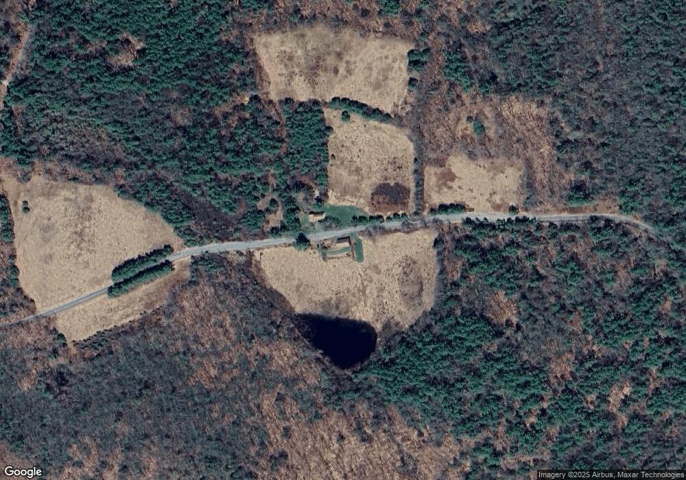
127 Shantry Rd Norfolk, CT 06058
Estimated Value: $495,000 - $640,000
5
Beds
1
Bath
1,886
Sq Ft
$298/Sq Ft
Est. Value
About This Home
This home is located at 127 Shantry Rd, Norfolk, CT 06058 and is currently estimated at $561,259, approximately $297 per square foot. 127 Shantry Rd is a home located in Litchfield County with nearby schools including Botelle Elementary School, Northwestern Regional Middle School, and Northwestern Regional High School.
Create a Home Valuation Report for This Property
The Home Valuation Report is an in-depth analysis detailing your home's value as well as a comparison with similar homes in the area
Home Values in the Area
Average Home Value in this Area
Tax History
| Year | Tax Paid | Tax Assessment Tax Assessment Total Assessment is a certain percentage of the fair market value that is determined by local assessors to be the total taxable value of land and additions on the property. | Land | Improvement |
|---|---|---|---|---|
| 2025 | $6,832 | $303,800 | $134,120 | $169,680 |
| 2024 | $6,916 | $243,510 | $125,500 | $118,010 |
| 2023 | $6,743 | $243,510 | $125,500 | $118,010 |
| 2022 | $6,779 | $243,510 | $125,500 | $118,010 |
| 2021 | $6,553 | $243,510 | $125,500 | $118,010 |
| 2020 | $6,326 | $243,510 | $125,500 | $118,010 |
| 2019 | $6,570 | $243,510 | $125,500 | $118,010 |
| 2018 | $4,327 | $183,590 | $75,330 | $108,260 |
| 2017 | $4,122 | $183,590 | $75,330 | $108,260 |
| 2016 | $4,056 | $183,590 | $75,330 | $108,260 |
| 2015 | $4,030 | $183,590 | $75,330 | $108,260 |
| 2014 | $4,114 | $183,590 | $75,330 | $108,260 |
Source: Public Records
Map
Nearby Homes
- 11 Shantry Rd
- 210 Doolittle Dr
- 00 Greenwoods Rd E
- 0 Prock Hill Rd
- 00 Prock Hill Rd
- 11 Corning
- 00 Laurel Way
- 82 Greenwoods Rd E
- 35 Maple Ave
- 0 Old Colony Rd
- 0 Winsted Norfolk Rd Unit 24089254
- 19 Roberts Rd
- 16 River Place
- 425 Colebrook River Rd
- 0 Litchfield Rd
- 000000 Norfolk Rd
- 649 Litchfield Rd
- 0 Old Goshen Rd
- 0A Old Goshen Rd
- 0B Old Goshen Rd
Your Personal Tour Guide
Ask me questions while you tour the home.