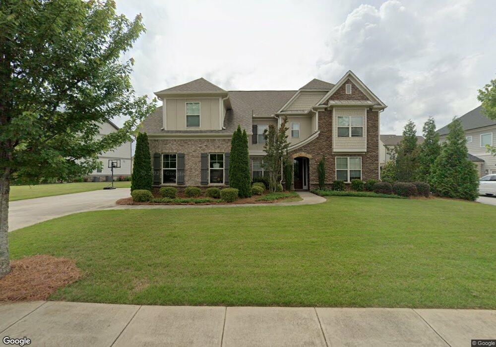
127 Sierra Cir Unit 45 Woodstock, GA 30188
Estimated Value: $917,000
5
Beds
5
Baths
3,903
Sq Ft
$235/Sq Ft
Est. Value
About This Home
This home is located at 127 Sierra Cir Unit 45, Woodstock, GA 30188 and is currently estimated at $917,000, approximately $234 per square foot. 127 Sierra Cir Unit 45 is a home located in Cherokee County with nearby schools including Little River Elementary, Mill Creek Middle School, and River Ridge High School.
Ownership History
Date
Name
Owned For
Owner Type
Purchase Details
Closed on
Jul 15, 2015
Sold by
Crp Eah Jm Ii Llc
Bought by
Petersen Boyd C
Current Estimated Value
Home Financials for this Owner
Home Financials are based on the most recent Mortgage that was taken out on this home.
Original Mortgage
$440,000
Interest Rate
4.04%
Mortgage Type
New Conventional
Create a Home Valuation Report for This Property
The Home Valuation Report is an in-depth analysis detailing your home's value as well as a comparison with similar homes in the area
Home Values in the Area
Average Home Value in this Area
Purchase History
| Date | Buyer | Sale Price | Title Company |
|---|---|---|---|
| Petersen Boyd C | $440,000 | -- |
Source: Public Records
Mortgage History
| Date | Status | Borrower | Loan Amount |
|---|---|---|---|
| Closed | Petersen Boyd C | $440,000 |
Source: Public Records
Tax History Compared to Growth
Tax History
| Year | Tax Paid | Tax Assessment Tax Assessment Total Assessment is a certain percentage of the fair market value that is determined by local assessors to be the total taxable value of land and additions on the property. | Land | Improvement |
|---|---|---|---|---|
| 2025 | $8,734 | $332,600 | $73,200 | $259,400 |
| 2024 | $8,114 | $312,240 | $65,600 | $246,640 |
| 2023 | $8,136 | $313,080 | $65,600 | $247,480 |
| 2022 | $7,574 | $288,160 | $53,600 | $234,560 |
| 2021 | $6,200 | $218,400 | $38,000 | $180,400 |
| 2020 | $6,014 | $211,640 | $38,000 | $173,640 |
| 2019 | $5,936 | $208,920 | $38,000 | $170,920 |
| 2018 | $6,023 | $210,680 | $38,000 | $172,680 |
| 2017 | $5,722 | $496,500 | $38,000 | $160,600 |
| 2016 | $5,124 | $440,000 | $38,000 | $138,000 |
| 2015 | $1,117 | $95,000 | $38,000 | $0 |
Source: Public Records
Map
Nearby Homes
- 134 Sierra Cir
- 5100 Ravenwood Dr
- 205 Leland Way
- 223 Wild Ginger Bend
- 416 Maypop Ln
- 202 Wild Ginger Bend
- 452 Maypop Ln
- Bramwell Plan at Havencroft
- Hendricks Plan at Havencroft
- Wynstone Plan at Havencroft
- Buckhorn Plan at Havencroft
- Worthdale Plan at Havencroft
- Ransdall Plan at Havencroft
- Kinton Plan at Havencroft
- 235 Wild Ginger Bend
- 3415 Trickum Rd
- 255 Wild Ginger Bend
- 444 Maypop Ln
- 127 Sierra Cir
- 125 Sierra Cir Unit 46
- 125 E Sierra CI Unit 46
- 125 Sierra Cir
- 129 Sierra Cir Unit 44
- 129 Sierra Cir
- 402 Amber Way
- 131 Sierra Cir
- 131 Sierra Cir
- 404 Amber Way
- 126 Sierra Cir Unit 5
- 126 Sierra Cir
- 128 Sierra Cir Unit 4
- 128 Sierra Cir
- 124 Sierra Cir Unit 6
- 124 Sierra Cir
- 400 Amber Way
- 122 Sierra Cir
- 120 Sierra Cir
- 406 Amber Way