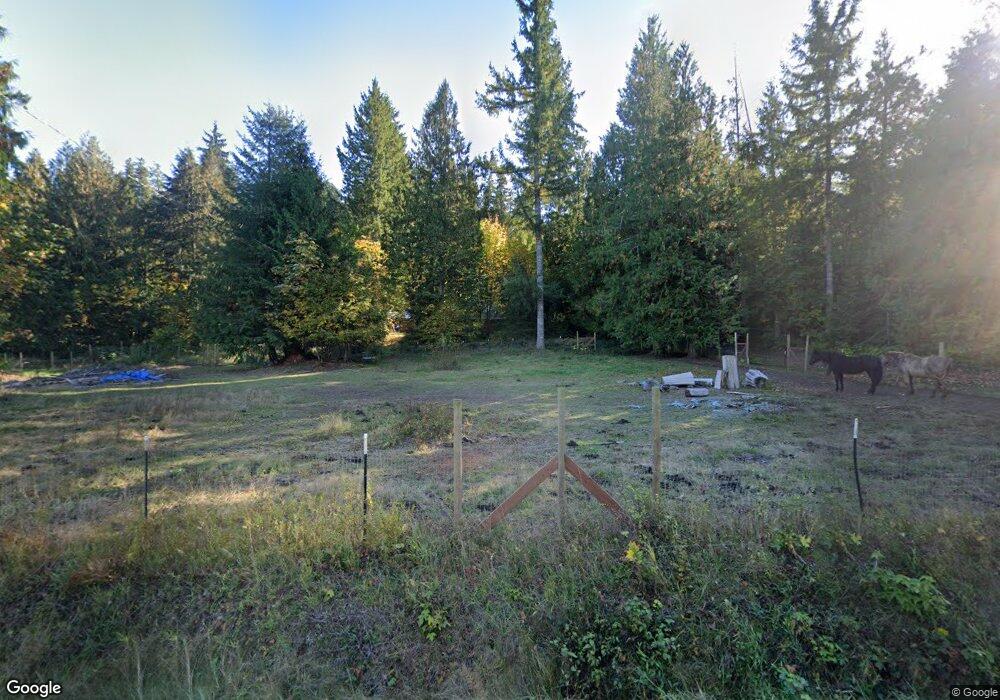
127 Skinner Rd Randle, WA 98377
Estimated Value: $383,000 - $454,872
3
Beds
5
Baths
1,525
Sq Ft
$281/Sq Ft
Est. Value
About This Home
This home is located at 127 Skinner Rd, Randle, WA 98377 and is currently estimated at $428,218, approximately $280 per square foot. 127 Skinner Rd is a home with nearby schools including White Pass Elementary School and White Pass Junior/Senior High School.
Ownership History
Date
Name
Owned For
Owner Type
Purchase Details
Closed on
Jul 9, 2014
Sold by
Mcmahan Guy D and Mcmahan Hazelanna
Bought by
Limbocker Mark W and Limbocker Michel A
Current Estimated Value
Home Financials for this Owner
Home Financials are based on the most recent Mortgage that was taken out on this home.
Original Mortgage
$159,000
Outstanding Balance
$121,111
Interest Rate
4.16%
Mortgage Type
New Conventional
Estimated Equity
$307,107
Create a Home Valuation Report for This Property
The Home Valuation Report is an in-depth analysis detailing your home's value as well as a comparison with similar homes in the area
Home Values in the Area
Average Home Value in this Area
Purchase History
| Date | Buyer | Sale Price | Title Company |
|---|---|---|---|
| Limbocker Mark W | $178,000 | Title Guaranty |
Source: Public Records
Mortgage History
| Date | Status | Borrower | Loan Amount |
|---|---|---|---|
| Open | Limbocker Mark W | $159,000 |
Source: Public Records
Tax History Compared to Growth
Tax History
| Year | Tax Paid | Tax Assessment Tax Assessment Total Assessment is a certain percentage of the fair market value that is determined by local assessors to be the total taxable value of land and additions on the property. | Land | Improvement |
|---|---|---|---|---|
| 2025 | $3,009 | $418,600 | $132,900 | $285,700 |
| 2024 | $3,009 | $428,900 | $100,300 | $328,600 |
| 2023 | $2,876 | $383,600 | $100,300 | $283,300 |
| 2022 | $2,747 | $287,500 | $77,100 | $210,400 |
| 2021 | $2,336 | $287,500 | $77,100 | $210,400 |
| 2020 | $2,495 | $212,800 | $53,600 | $159,200 |
| 2019 | $2,403 | $212,800 | $53,600 | $159,200 |
| 2018 | $2,292 | $194,800 | $48,700 | $146,100 |
| 2017 | $2,024 | $174,800 | $48,700 | $126,100 |
| 2016 | $2,197 | $169,800 | $49,700 | $120,100 |
| 2015 | $2,093 | $176,100 | $49,700 | $126,400 |
| 2013 | $2,093 | $161,300 | $60,300 | $101,000 |
Source: Public Records
Map
Nearby Homes
- 150 Skinner Rd
- 0 Skinner Rd
- 0 Lot 7 Buck Dr
- 1230 Silverbrook Rd
- 236 Kehoe Rd
- 4 Skinner Rd
- 1 Skinner Rd
- 2 Skinner Rd
- 3 Skinner Rd
- 215 Kehoe Rd
- 0 Cline Rd Unit NWM2347512
- 0 Shelton Rd
- 0 Boyd Rd Unit NWM2369616
- 107 Peters Creek Rd
- 142 Gharet Rd
- 160 Gharet Rd
- 662 Cline Rd
- 0 Morris Rd Unit NWM1911789
- 21 Morris Rd Unit 21
- 677 Silverbrook Rd
- 113 Skinner Rd
- 136 Skinner Rd
- 112 Skinner Rd
- 314 State Route 131
- 105 Skinner Rd
- 140 & 150 Skinner Rd
- 140 Skinner Rd
- 127 Lancie Rd
- 0 Skinner & Lancie Rd
- 138 Lancie Rd
- 159 Lancie Rd
- 158 Lancie Rd
- 168 Lancie Rd
- 170 Spears Rd
- 187 Lancie Rd
- 112 Woods Creek Rd
- 310 Skinner Rd
- 340 State Route 131
- 0 State Route 131 Unit NWM2050857
- 330 Skinner Rd
