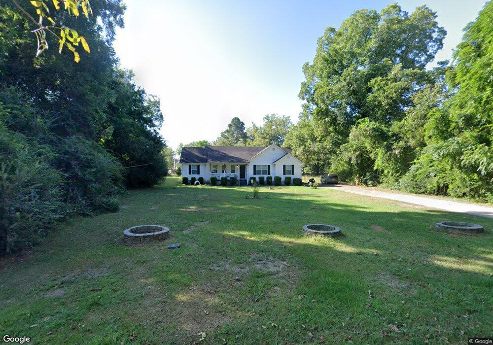
127 Society St Concord, GA 30206
Estimated Value: $221,242 - $285,000
--
Bed
2
Baths
1,553
Sq Ft
$164/Sq Ft
Est. Value
About This Home
This home is located at 127 Society St, Concord, GA 30206 and is currently estimated at $254,811, approximately $164 per square foot. 127 Society St is a home located in Pike County with nearby schools including Pike County Primary School, Pike County Elementary School, and Pike County Middle School.
Ownership History
Date
Name
Owned For
Owner Type
Purchase Details
Closed on
Mar 8, 2017
Sold by
Sheffield Vaughn E
Bought by
Sheffield Vaughn E and Sheffield Jeffrey Alan
Current Estimated Value
Purchase Details
Closed on
Nov 21, 2014
Sold by
The United States Of Ameri
Bought by
Sheffield Vaughn E
Home Financials for this Owner
Home Financials are based on the most recent Mortgage that was taken out on this home.
Original Mortgage
$58,913
Interest Rate
3.75%
Mortgage Type
FHA
Purchase Details
Closed on
Aug 6, 2013
Sold by
Ghfa
Bought by
Usda
Purchase Details
Closed on
Oct 2, 2003
Sold by
Mcelveen Agnes Southard
Bought by
Switzer Laurie
Create a Home Valuation Report for This Property
The Home Valuation Report is an in-depth analysis detailing your home's value as well as a comparison with similar homes in the area
Home Values in the Area
Average Home Value in this Area
Purchase History
| Date | Buyer | Sale Price | Title Company |
|---|---|---|---|
| Sheffield Vaughn E | $79,795 | -- | |
| Sheffield Vaughn E | $60,000 | -- | |
| Usda | $26,659 | -- | |
| Switzer Laurie | -- | -- |
Source: Public Records
Mortgage History
| Date | Status | Borrower | Loan Amount |
|---|---|---|---|
| Previous Owner | Sheffield Vaughn E | $58,913 |
Source: Public Records
Tax History Compared to Growth
Tax History
| Year | Tax Paid | Tax Assessment Tax Assessment Total Assessment is a certain percentage of the fair market value that is determined by local assessors to be the total taxable value of land and additions on the property. | Land | Improvement |
|---|---|---|---|---|
| 2024 | $1,845 | $64,071 | $9,874 | $54,197 |
| 2023 | $2,189 | $64,071 | $9,874 | $54,197 |
| 2022 | $1,465 | $50,482 | $9,874 | $40,608 |
| 2021 | $1,516 | $50,482 | $9,874 | $40,608 |
| 2020 | $1,534 | $50,482 | $9,874 | $40,608 |
| 2019 | $1,102 | $31,918 | $2,496 | $29,422 |
| 2018 | $1,103 | $31,918 | $2,496 | $29,422 |
| 2017 | $1,094 | $31,918 | $2,496 | $29,422 |
| 2016 | $1,015 | $31,918 | $2,496 | $29,422 |
| 2015 | $727 | $31,918 | $2,496 | $29,422 |
| 2014 | $921 | $31,918 | $2,496 | $29,422 |
| 2013 | -- | $35,520 | $2,496 | $33,024 |
Source: Public Records
Map
Nearby Homes
- L-8 Strickland Rd
- 10000 Highway 18 W
- LOT 12 Flint Farms Dr
- 184 Flint Farms Dr
- 243 Flint Farms Dr
- 126 Flint Farms Dr
- LOT 11 Flint Farms Dr
- TRACT 5 Bates Rd (13 98acs)
- 1337 Green St
- TRACT 2 Bates Rd (56 99acs)
- TRACT 1 Bates Rd (14 05acs)
- 0 W Fossett Rd Unit 10629253
- 3.39 ACRES Caldwell Bridge Rd
- 764 Bates Rd (228 96acs)
- TRACT 6 & 7 Bates Rd (47 4acs)
- 0 West Rd Unit 10536330
- 0 West Rd Unit 10541322
- 2246 Concord Rd
- 0 Green St Unit 20083878
- 1579 Bates Rd
- L-2 Society St
- 108 Society St
- 1388 Hill St
- 1422 Hill St
- 179 Society St
- 173 Society St
- 1466 Hill St
- 172 Society St
- 191 Society St
- 1446 Hill St
- 9500 Highway 18 W
- 9540 Highway 18 W
- 224 Society St
- 1516 Hill St
- 246 College St
- 9470 Highway 18 W
- 9560 Georgia 18
- 9560 Highway 18 W
- 76 College St
- 9444 Highway 18 W