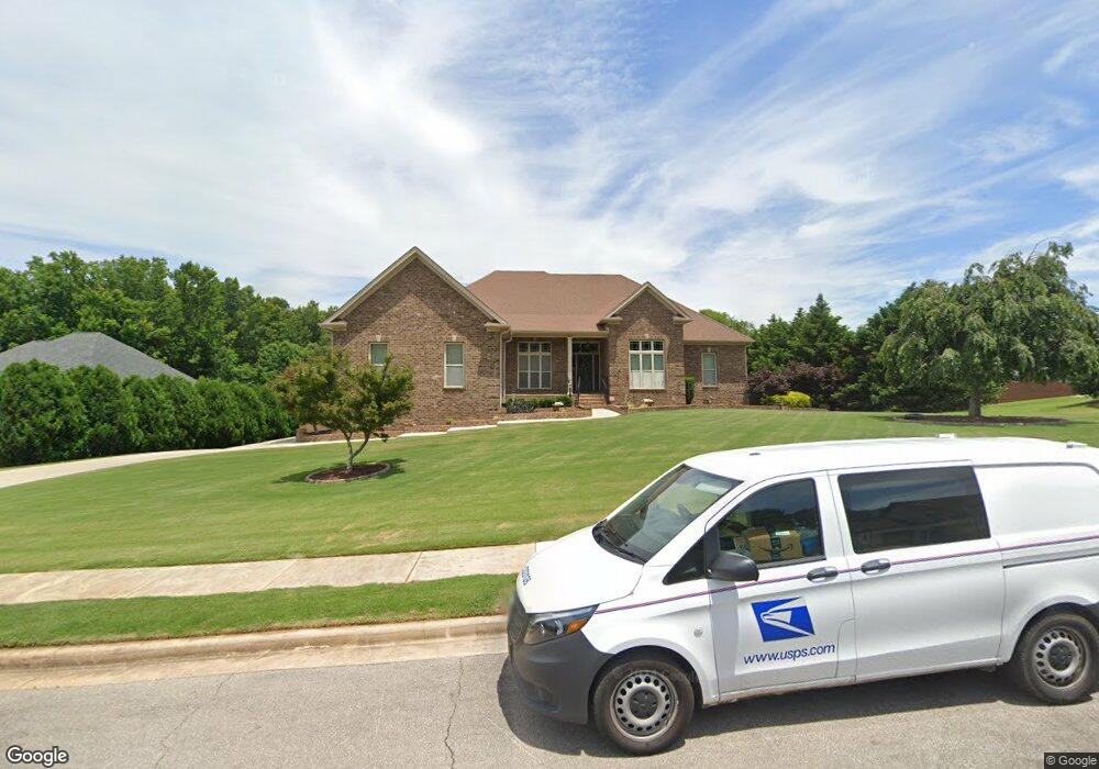
127 Southfork Dr Huntsville, AL 35811
Estimated Value: $432,000 - $586,000
--
Bed
1
Bath
2,988
Sq Ft
$170/Sq Ft
Est. Value
About This Home
This home is located at 127 Southfork Dr, Huntsville, AL 35811 and is currently estimated at $509,059, approximately $170 per square foot. 127 Southfork Dr is a home with nearby schools including Riverton Elementary School, Riverton Intermediate School, and Buckhorn Middle School.
Ownership History
Date
Name
Owned For
Owner Type
Purchase Details
Closed on
Sep 16, 2010
Sold by
Darwin Development Construction Inc
Bought by
Ambrose Mark A and Ambrose Paula A
Current Estimated Value
Home Financials for this Owner
Home Financials are based on the most recent Mortgage that was taken out on this home.
Original Mortgage
$316,000
Outstanding Balance
$209,510
Interest Rate
4.52%
Mortgage Type
Future Advance Clause Open End Mortgage
Estimated Equity
$299,549
Create a Home Valuation Report for This Property
The Home Valuation Report is an in-depth analysis detailing your home's value as well as a comparison with similar homes in the area
Home Values in the Area
Average Home Value in this Area
Purchase History
| Date | Buyer | Sale Price | Title Company |
|---|---|---|---|
| Ambrose Mark A | -- | -- |
Source: Public Records
Mortgage History
| Date | Status | Borrower | Loan Amount |
|---|---|---|---|
| Open | Ambrose Mark A | $316,000 |
Source: Public Records
Tax History Compared to Growth
Tax History
| Year | Tax Paid | Tax Assessment Tax Assessment Total Assessment is a certain percentage of the fair market value that is determined by local assessors to be the total taxable value of land and additions on the property. | Land | Improvement |
|---|---|---|---|---|
| 2024 | $1,886 | $53,220 | $3,000 | $50,220 |
| 2023 | $1,886 | $50,900 | $3,000 | $47,900 |
| 2022 | $1,638 | $46,440 | $3,000 | $43,440 |
| 2021 | $1,613 | $45,740 | $3,000 | $42,740 |
| 2020 | $1,437 | $40,910 | $3,000 | $37,910 |
| 2019 | $1,374 | $39,190 | $3,000 | $36,190 |
| 2018 | $1,288 | $36,840 | $0 | $0 |
| 2017 | $1,250 | $35,820 | $0 | $0 |
| 2016 | $1,250 | $35,820 | $0 | $0 |
| 2015 | $1,250 | $35,820 | $0 | $0 |
| 2014 | $1,305 | $37,400 | $0 | $0 |
Source: Public Records
Map
Nearby Homes
- 132 Southfork Dr
- 606 Bell Factory Rd
- 111 Saint Clair Ln
- 290 River Cove Rd
- 215 Saint Clair Ln
- 208 Dinner Tree Square
- 212 Dinner Tree Square
- 113 Richard Rd
- 115 Richard Rd
- 292 Tercel Dr
- 120 Mikaelas Way
- 294 Tercel Dr
- 229 Steppe Ct
- 208 Steppe Ct
- 113 Sidney Ruth Dr
- 109 Sidney Ruth Dr
- 111 Sidney Ruth Dr
- 115 Sidney Ruth Dr
- 125 Sidney Ruth Dr
- 110 Sidney Ruth Dr
- 130 Southfork Dr
- 128 Southfork Dr
- 126 Southfork Dr
- 123 Southfork Dr
- 134 Southfork Dr
- 121 Moore Springs Cir
- 124 Southfork Dr
- 121 Southfork Dr
- 120 Moore Springs Cir
- 122 Southfork Dr
- 640 Bell Factory Rd
- 622 Bell Factory Rd
- 120 Southfork Dr
- 118 Moore Springs Cir
- 133 Southfork Dr
- 119 Moore Springs Cir
- 119 Southfork Dr
- 178x350132 Southfork Dr
- Lot 17 Southfork Dr
- 116 Southfork Dr