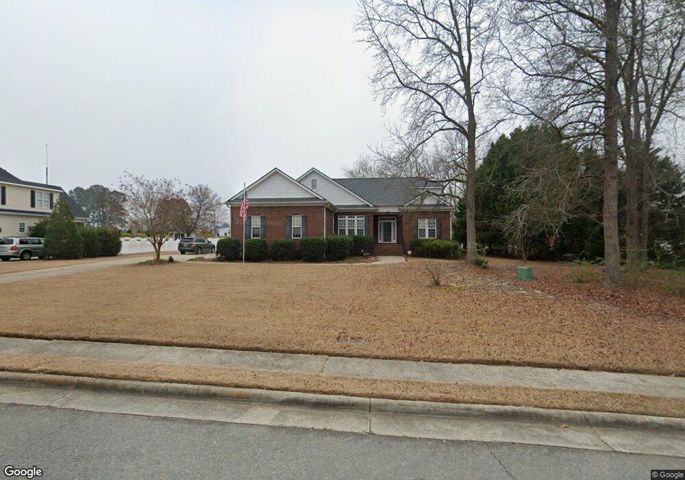
127 Spring Branch Dr Four Oaks, NC 27524
Ingrams NeighborhoodEstimated Value: $382,000 - $450,209
3
Beds
2
Baths
1,761
Sq Ft
$244/Sq Ft
Est. Value
About This Home
This home is located at 127 Spring Branch Dr, Four Oaks, NC 27524 and is currently estimated at $429,802, approximately $244 per square foot. 127 Spring Branch Dr is a home located in Johnston County with nearby schools including Four Oaks Elementary School, Four Oaks Middle School, and South Johnston High School.
Ownership History
Date
Name
Owned For
Owner Type
Purchase Details
Closed on
Sep 8, 2016
Sold by
Mcclanahan Carl L and Mcclanahan Mary Charlene
Bought by
Mcclanahan Carl L and The Carl Mcclanahan Revocable
Current Estimated Value
Purchase Details
Closed on
Jun 29, 2006
Sold by
Heritage Homes Of Clayton Inc
Bought by
Mcclanahan Carl L and Mcclanahan Charlene
Purchase Details
Closed on
Jul 29, 2005
Sold by
Massengill Danny Joe
Bought by
Heritage Homes Of Clayton Inc
Create a Home Valuation Report for This Property
The Home Valuation Report is an in-depth analysis detailing your home's value as well as a comparison with similar homes in the area
Home Values in the Area
Average Home Value in this Area
Purchase History
| Date | Buyer | Sale Price | Title Company |
|---|---|---|---|
| Mcclanahan Carl L | -- | None Available | |
| Mcclanahan Carl L | $206,000 | None Available | |
| Heritage Homes Of Clayton Inc | $45,000 | None Available |
Source: Public Records
Mortgage History
| Date | Status | Borrower | Loan Amount |
|---|---|---|---|
| Closed | Heritage Homes Of Clayton Inc | $0 |
Source: Public Records
Tax History
| Year | Tax Paid | Tax Assessment Tax Assessment Total Assessment is a certain percentage of the fair market value that is determined by local assessors to be the total taxable value of land and additions on the property. | Land | Improvement |
|---|---|---|---|---|
| 2025 | $4,030 | $440,440 | $87,580 | $352,860 |
| 2024 | $2,991 | $252,410 | $54,650 | $197,760 |
| 2023 | $2,941 | $252,410 | $54,650 | $197,760 |
| 2022 | $2,978 | $252,410 | $54,650 | $197,760 |
| 2021 | $2,978 | $252,410 | $54,650 | $197,760 |
| 2020 | $3,054 | $252,410 | $54,650 | $197,760 |
| 2019 | $3,054 | $252,410 | $54,650 | $197,760 |
| 2018 | $3,211 | $261,040 | $54,650 | $206,390 |
| 2017 | $3,132 | $261,040 | $54,650 | $206,390 |
| 2016 | $3,132 | $261,040 | $54,650 | $206,390 |
| 2015 | $2,474 | $213,280 | $54,650 | $158,630 |
| 2014 | $2,474 | $213,280 | $54,650 | $158,630 |
Source: Public Records
Map
Nearby Homes
- 1100 S Lakeside Dr
- 120 Muscovy Dr
- 110 Muscovy Dr
- 70 Muscovy Dr
- 131 Muscovy Dr
- 141 Muscovy Dr
- 90 Muscovy Dr
- 0 Country Club Rd
- 150 Muscovy Dr
- 140 Muscovy Dr
- 130 Muscovy Dr
- 161 Lake Park Cir
- 230 Lake Park Cir
- 4516 U S 301
- 4516 Us 301 Hwy
- 2310 Devils Racetrack Rd
- 0 N Brightleaf & Galilee Blvd Unit 10136028
- 460 Quail Rd
- 262 Heath Rd
- 207 Heath Rd
- 123 Spring Branch Dr
- 0 Spring Branch Dr
- 213 Spring Branch Dr
- 201 Spring Branch Dr
- 126 Spring Branch Dr
- 131 Carroll Dr
- 131 Carroll Dr Unit 46
- 205 Spring Branch Dr
- 119 Spring Branch Dr
- 200 Spring Branch Dr
- 118 Spring Branch Dr
- 209 Spring Branch Dr
- 115 Spring Branch
- 218 Spring Branch Dr
- 204 Spring Branch Dr
- 123 Carroll Dr
- 128 Carroll Dr
- 208 Spring Branch Dr
- 4045 Us Highway 301 S
- 111 Spring Branch Dr
Your Personal Tour Guide
Ask me questions while you tour the home.