127 State Rd Kittery, ME 03904
Estimated Value: $1,736,509
Studio
--
Bath
2,246
Sq Ft
$773/Sq Ft
Est. Value
About This Home
This home is located at 127 State Rd, Kittery, ME 03904 and is currently estimated at $1,736,509, approximately $773 per square foot. 127 State Rd is a home located in York County with nearby schools including Shapleigh School, Horace Mitchell Primary School, and Robert W Traip Academy.
Ownership History
Date
Name
Owned For
Owner Type
Purchase Details
Closed on
Nov 20, 2006
Sold by
Litsinberger Koula C and Litsinberger Gary E
Bought by
Litson Villas Llc
Current Estimated Value
Purchase Details
Closed on
Jan 6, 2006
Sold by
Litsinberger Koula C and Litsinberger Gary E
Bought by
Litson Villas L L C
Create a Home Valuation Report for This Property
The Home Valuation Report is an in-depth analysis detailing your home's value as well as a comparison with similar homes in the area
Home Values in the Area
Average Home Value in this Area
Purchase History
| Date | Buyer | Sale Price | Title Company |
|---|---|---|---|
| Litson Villas Llc | -- | -- | |
| Litson Villas L L C | -- | -- |
Source: Public Records
Tax History
| Year | Tax Paid | Tax Assessment Tax Assessment Total Assessment is a certain percentage of the fair market value that is determined by local assessors to be the total taxable value of land and additions on the property. | Land | Improvement |
|---|---|---|---|---|
| 2024 | $11,533 | $812,200 | $328,100 | $484,100 |
| 2023 | $11,054 | $812,200 | $328,100 | $484,100 |
| 2022 | $10,948 | $812,200 | $328,100 | $484,100 |
| 2021 | $10,559 | $812,200 | $328,100 | $484,100 |
| 2020 | $10,477 | $812,200 | $328,100 | $484,100 |
| 2019 | $11,099 | $637,900 | $327,300 | $310,600 |
| 2018 | $10,717 | $637,900 | $327,300 | $310,600 |
| 2017 | $10,525 | $637,900 | $327,300 | $310,600 |
| 2016 | $10,238 | $637,900 | $327,300 | $310,600 |
| 2015 | $9,996 | $637,900 | $327,300 | $310,600 |
| 2014 | $9,900 | $637,900 | $327,300 | $310,600 |
| 2013 | $9,709 | $637,900 | $327,300 | $310,600 |
Source: Public Records
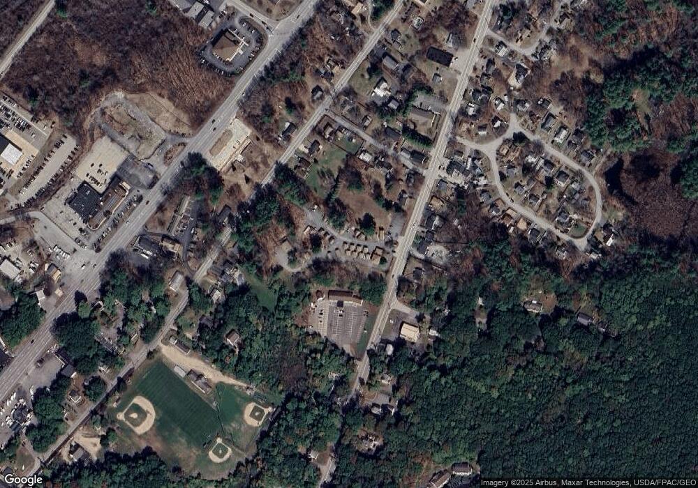
Map
Nearby Homes
- 30-3 Regency Cir Unit 3
- 29 Main St
- 5 Spinney Way Unit 9
- 27 Oak Terrace
- 25 Oak Terrace
- 10 Bayview Ln
- 4 Trefethen Ave
- 100 Shepard's Cove Rd Unit F204
- 100 Shepard's Cove Rd Unit G107
- 100 Shepards Cove Rd Unit F204
- 13 Cross St
- 19 Aspen Cir
- 35 Badgers Island W Unit 203
- 35 Badgers Island W Unit 301
- 35 Badgers Island W Unit 302
- 35 Badgers Island W Unit 103
- 12 Gillis Dr Unit 3
- 22 Summer Ln
- 8 Spruce Point Rd
- 333 Main St
Your Personal Tour Guide
Ask me questions while you tour the home.