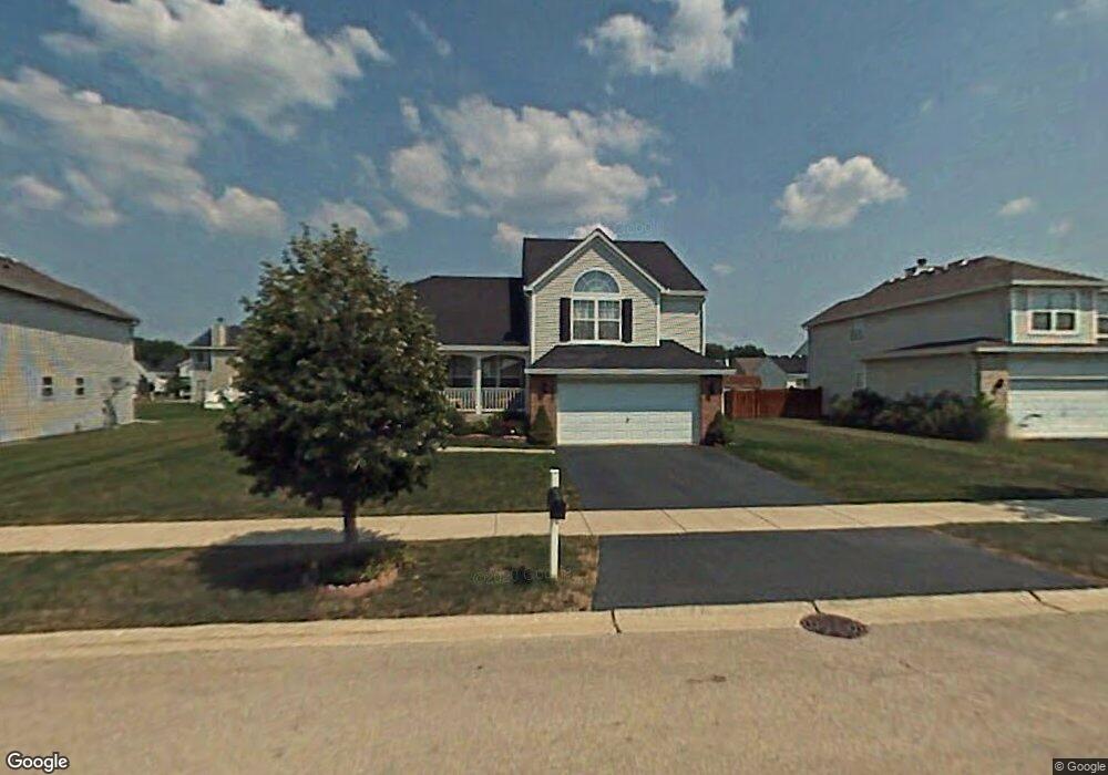
127 Stonebrook Rd Matteson, IL 60443
Old Matteson NeighborhoodEstimated Value: $313,766 - $339,000
3
Beds
3
Baths
1,786
Sq Ft
$183/Sq Ft
Est. Value
About This Home
This home is located at 127 Stonebrook Rd, Matteson, IL 60443 and is currently estimated at $326,692, approximately $182 per square foot. 127 Stonebrook Rd is a home located in Cook County with nearby schools including Illinois School, Arcadia Elementary School, and Indiana Elementary School.
Ownership History
Date
Name
Owned For
Owner Type
Purchase Details
Closed on
Mar 31, 1999
Sold by
Matteson Development Inc
Bought by
Mcgill Yearby Carla H
Current Estimated Value
Home Financials for this Owner
Home Financials are based on the most recent Mortgage that was taken out on this home.
Original Mortgage
$164,500
Outstanding Balance
$41,654
Interest Rate
7.04%
Estimated Equity
$285,038
Create a Home Valuation Report for This Property
The Home Valuation Report is an in-depth analysis detailing your home's value as well as a comparison with similar homes in the area
Home Values in the Area
Average Home Value in this Area
Purchase History
| Date | Buyer | Sale Price | Title Company |
|---|---|---|---|
| Mcgill Yearby Carla H | $183,000 | Ticor Title |
Source: Public Records
Mortgage History
| Date | Status | Borrower | Loan Amount |
|---|---|---|---|
| Open | Mcgill Yearby Carla H | $164,500 |
Source: Public Records
Tax History Compared to Growth
Tax History
| Year | Tax Paid | Tax Assessment Tax Assessment Total Assessment is a certain percentage of the fair market value that is determined by local assessors to be the total taxable value of land and additions on the property. | Land | Improvement |
|---|---|---|---|---|
| 2024 | $7,147 | $23,922 | $5,686 | $18,236 |
| 2023 | $4,191 | $23,922 | $5,686 | $18,236 |
| 2022 | $4,191 | $14,567 | $4,975 | $9,592 |
| 2021 | $6,753 | $16,276 | $4,974 | $11,302 |
| 2020 | $6,394 | $16,276 | $4,974 | $11,302 |
| 2019 | $7,257 | $17,450 | $4,501 | $12,949 |
| 2018 | $8,171 | $19,226 | $4,501 | $14,725 |
| 2017 | $8,332 | $20,147 | $4,501 | $15,646 |
| 2016 | $6,777 | $16,279 | $4,027 | $12,252 |
| 2015 | $6,657 | $16,279 | $4,027 | $12,252 |
| 2014 | $7,399 | $18,239 | $4,027 | $14,212 |
| 2013 | $7,194 | $19,297 | $4,027 | $15,270 |
Source: Public Records
Map
Nearby Homes
- 135 Treehouse Rd
- 153 Treehouse Rd
- 4500 203rd St
- 20340 Crawford Ave
- 4700 203rd St
- 20001 Arquilla Cir
- 19611 Crawford Ave
- 312 Grafton Place
- 20520 Crawford Ave
- 722 Kostner Ave
- 98 Lawrence Ln
- 19435 Hickory Place Unit 29A
- 19407 Oak Ave Unit 76
- 19423 Hickory Place Unit 31D
- 19361 Oak Ave Unit 3
- 3907 Troon St
- 19338 Oak Ave Unit 23
- 4325 Oakwood Ln
- 820 School Ave
- 20920 Governors Hwy
- 133 Stonebrook Rd
- 121 Stonebrook Rd
- 124 Moonlight Rd
- 130 Moonlight Rd
- 116 Moonlight Rd
- 139 Stonebrook Rd
- 117 Stonebrook Rd
- 136 Moonlight Rd
- 122 Stonebrook Rd
- 128 Stonebrook Rd
- 110 Moonlight Rd
- 134 Stonebrook Rd
- 145 Stonebrook Rd
- 142 Moonlight Rd
- 66 Moonlight Rd
- 113 Stonebrook Rd
- 112 Stonebrook Rd
- 140 Stonebrook Rd
- 60 Moonlight Rd
- 127 Moonlight Rd