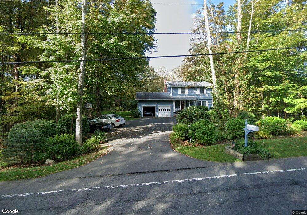
127 Strongtown Rd Southbury, CT 06488
Estimated Value: $513,000 - $618,000
4
Beds
3
Baths
1,776
Sq Ft
$313/Sq Ft
Est. Value
About This Home
This home is located at 127 Strongtown Rd, Southbury, CT 06488 and is currently estimated at $556,037, approximately $313 per square foot. 127 Strongtown Rd is a home located in New Haven County with nearby schools including Long Meadow Elementary School, Memorial Middle School, and Pomperaug Regional High School.
Ownership History
Date
Name
Owned For
Owner Type
Purchase Details
Closed on
Jul 1, 1999
Sold by
Burr Thaddeus and Burr Mary
Bought by
Savoyski Erik and Savoyski Stacy
Current Estimated Value
Home Financials for this Owner
Home Financials are based on the most recent Mortgage that was taken out on this home.
Original Mortgage
$179,100
Interest Rate
7.19%
Purchase Details
Closed on
Mar 27, 1992
Sold by
Marshall James and Marshall Carole
Bought by
Burr Thaddeus and Burr Mary Ann
Create a Home Valuation Report for This Property
The Home Valuation Report is an in-depth analysis detailing your home's value as well as a comparison with similar homes in the area
Home Values in the Area
Average Home Value in this Area
Purchase History
| Date | Buyer | Sale Price | Title Company |
|---|---|---|---|
| Savoyski Erik | $199,000 | -- | |
| Burr Thaddeus | $160,000 | -- |
Source: Public Records
Mortgage History
| Date | Status | Borrower | Loan Amount |
|---|---|---|---|
| Closed | Burr Thaddeus | $111,000 | |
| Closed | Burr Thaddeus | $50,000 | |
| Closed | Burr Thaddeus | $164,000 | |
| Closed | Burr Thaddeus | $179,100 |
Source: Public Records
Tax History Compared to Growth
Tax History
| Year | Tax Paid | Tax Assessment Tax Assessment Total Assessment is a certain percentage of the fair market value that is determined by local assessors to be the total taxable value of land and additions on the property. | Land | Improvement |
|---|---|---|---|---|
| 2025 | $5,813 | $240,200 | $80,020 | $160,180 |
| 2024 | $5,669 | $240,200 | $80,020 | $160,180 |
| 2023 | $5,405 | $240,200 | $80,020 | $160,180 |
| 2022 | $5,660 | $197,630 | $74,560 | $123,070 |
| 2021 | $5,791 | $197,630 | $74,560 | $123,070 |
| 2020 | $5,791 | $197,630 | $74,560 | $123,070 |
| 2019 | $5,751 | $197,630 | $74,560 | $123,070 |
| 2018 | $5,731 | $197,630 | $74,560 | $123,070 |
| 2017 | $5,948 | $203,020 | $84,690 | $118,330 |
| 2016 | $5,847 | $203,020 | $84,690 | $118,330 |
| 2015 | $5,766 | $203,020 | $84,690 | $118,330 |
| 2014 | $5,603 | $203,020 | $84,690 | $118,330 |
Source: Public Records
Map
Nearby Homes
- 122 Strongtown Rd
- 6 Bristol Town Rd
- 20 Oakcrest Rd
- 70 Diamond Match Rd
- 308 Vista View Dr
- 146 Lantern Park Ln S
- 919 Strongtown Rd
- 110 Silver Beech Rd
- 201 Forest Rd
- 20 Lantern Park Ln S
- 1088 Old Waterbury Rd
- 163 Hickory Ln
- 93 Kettletown Woods Rd
- 541 Benson Rd
- 280 Jeremy Swamp Rd
- 7 Deerwood Rd
- 795 Old Waterbury Rd
- 479 Kettletown Rd
- lot1B Deerwood Rd
- lot1 Deerwood Rd
- 15 Bridle Path Rd
- 111 Strongtown Rd
- 35 Bridle Path Rd
- 97 Strongtown Rd
- 14 Bridle Path Rd
- 144 Strongtown Rd
- 61 Bridle Path Rd
- 36 Bridle Path Rd
- 158 Strongtown Rd
- 181 Strongtown Rd
- 62 Bridle Path Rd
- 73 Strongtown Rd
- 174 Strongtown Rd
- 197 Strongtown Rd
- 134 Strongtown Rd
- 64 Strongtown Rd
- 83 Bridle Path Rd
- 192 Strongtown Rd
- 74 Bridle Path Rd
- 91 Bridle Path Rd