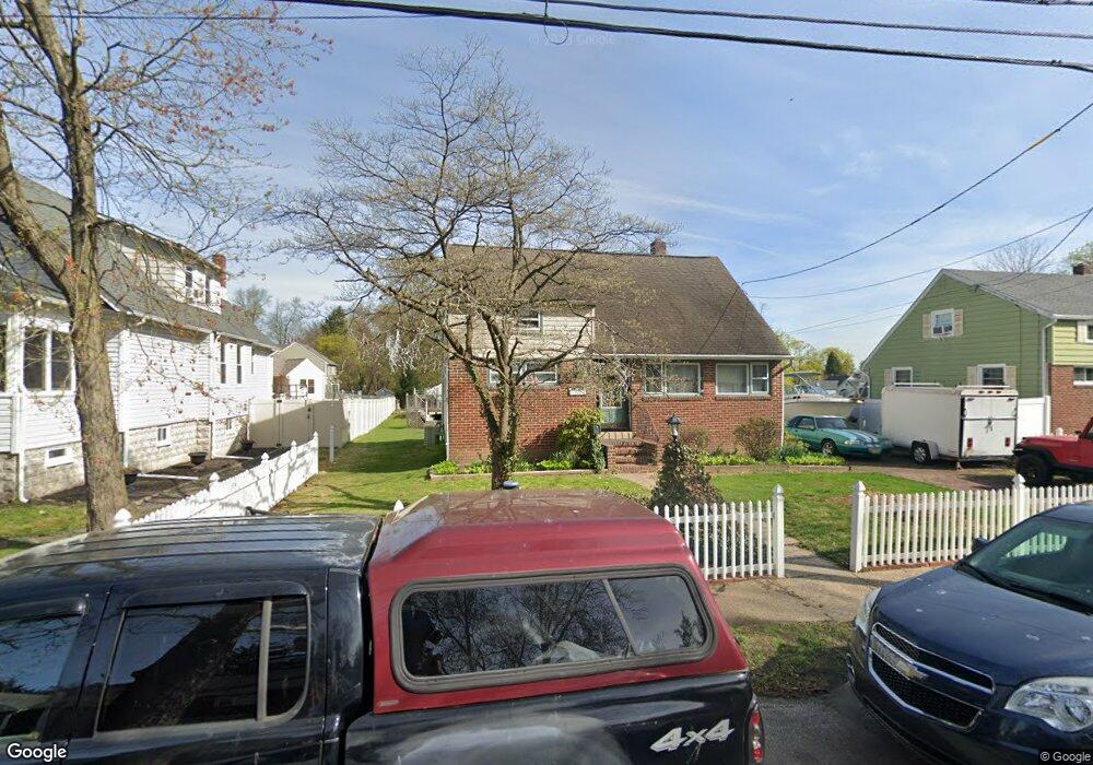
127 Thomas Ave Maple Shade, NJ 08052
Estimated Value: $290,123 - $363,000
Studio
--
Bath
1,280
Sq Ft
$255/Sq Ft
Est. Value
About This Home
This home is located at 127 Thomas Ave, Maple Shade, NJ 08052 and is currently estimated at $326,781, approximately $255 per square foot. 127 Thomas Ave is a home located in Burlington County with nearby schools including Maude M. Wilkins Elementary School, Ralph J Steinhauer Elementary School, and Howard R Yocum School.
Ownership History
Date
Name
Owned For
Owner Type
Purchase Details
Closed on
May 14, 1998
Sold by
Kaeser George B
Bought by
Damato Janet B
Current Estimated Value
Home Financials for this Owner
Home Financials are based on the most recent Mortgage that was taken out on this home.
Original Mortgage
$90,491
Interest Rate
7.03%
Mortgage Type
FHA
Create a Home Valuation Report for This Property
The Home Valuation Report is an in-depth analysis detailing your home's value as well as a comparison with similar homes in the area
Home Values in the Area
Average Home Value in this Area
Purchase History
| Date | Buyer | Sale Price | Title Company |
|---|---|---|---|
| Damato Janet B | $102,000 | Fidelity National Title Ins |
Source: Public Records
Mortgage History
| Date | Status | Borrower | Loan Amount |
|---|---|---|---|
| Previous Owner | Damato Janet B | $90,491 |
Source: Public Records
Tax History
| Year | Tax Paid | Tax Assessment Tax Assessment Total Assessment is a certain percentage of the fair market value that is determined by local assessors to be the total taxable value of land and additions on the property. | Land | Improvement |
|---|---|---|---|---|
| 2025 | $6,594 | $173,700 | $62,100 | $111,600 |
| 2024 | $6,403 | $173,700 | $62,100 | $111,600 |
| 2023 | $6,403 | $173,700 | $62,100 | $111,600 |
| 2022 | $6,304 | $173,700 | $62,100 | $111,600 |
| 2021 | $6,243 | $173,700 | $62,100 | $111,600 |
| 2020 | $6,260 | $173,700 | $62,100 | $111,600 |
| 2019 | $6,031 | $173,700 | $62,100 | $111,600 |
| 2018 | $5,927 | $173,700 | $62,100 | $111,600 |
| 2017 | $5,857 | $173,700 | $62,100 | $111,600 |
| 2016 | $5,770 | $173,700 | $62,100 | $111,600 |
| 2015 | $5,645 | $173,700 | $62,100 | $111,600 |
| 2014 | $5,473 | $173,700 | $62,100 | $111,600 |
Source: Public Records
Map
Nearby Homes
- 57 S Terrace Ave
- 66 W Center Ave
- 47 S Lippincott Ave
- 21 Paul Rd
- 9 Woodbine Ave
- 12 Overbrook Ave
- 11 Rose Ave
- 2 Wyndale Ave
- 5 Paul Rd
- 61 S Maple Ave
- 206 S Maple Ave
- 42 Spruce Ave
- 22 Theodore Ave
- 452 Elm Ave
- 8539 Bryn Mawr Ave
- 305 Oak Ave
- 8323 Maple Ave
- 3005 Garfield Ave
- 207 E Park Ave
- 400 N Forklanding Rd
- 135 Thomas Ave
- 123 Thomas Ave
- 139 Thomas Ave
- 143 Thomas Ave
- 119 Thomas Ave
- 130 Thomas Ave
- 136 Thomas Ave
- 221 S Clinton Ave
- 126 Thomas Ave
- 147 Thomas Ave
- 138 Thomas Ave
- 122 Thomas Ave
- 142 Thomas Ave
- 111 Thomas Ave
- 118 Thomas Ave
- 146 Thomas Ave
- 114 Thomas Ave
- 231 S Clinton Ave
- 237 S Clinton Ave
- 241 S Clinton Ave
Your Personal Tour Guide
Ask me questions while you tour the home.