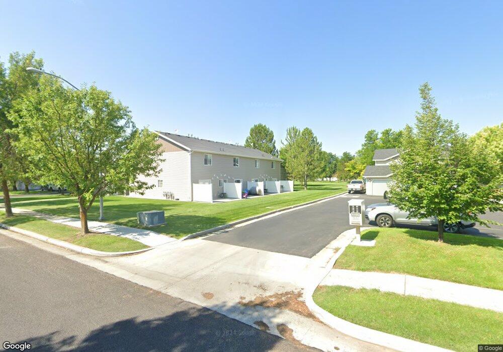
127 W 1320 S Logan, UT 84321
Woodruff NeighborhoodEstimated Value: $254,937 - $265,000
2
Beds
2
Baths
1,190
Sq Ft
$219/Sq Ft
Est. Value
About This Home
This home is located at 127 W 1320 S, Logan, UT 84321 and is currently estimated at $260,484, approximately $218 per square foot. 127 W 1320 S is a home located in Cache County with nearby schools including Hillcrest Elementary School, Mount Logan Middle School, and Logan High School.
Ownership History
Date
Name
Owned For
Owner Type
Purchase Details
Closed on
Feb 23, 2005
Sold by
Stevens Todd L
Bought by
Lodgepole Development Llc
Current Estimated Value
Purchase Details
Closed on
Feb 9, 2005
Sold by
Lodgepole Development Llc
Bought by
Stevens Todd L
Create a Home Valuation Report for This Property
The Home Valuation Report is an in-depth analysis detailing your home's value as well as a comparison with similar homes in the area
Home Values in the Area
Average Home Value in this Area
Purchase History
| Date | Buyer | Sale Price | Title Company |
|---|---|---|---|
| Lodgepole Development Llc | -- | Accommodation | |
| Stevens Todd L | -- | Accommodation |
Source: Public Records
Tax History
| Year | Tax Paid | Tax Assessment Tax Assessment Total Assessment is a certain percentage of the fair market value that is determined by local assessors to be the total taxable value of land and additions on the property. | Land | Improvement |
|---|---|---|---|---|
| 2025 | $1,078 | $139,435 | $0 | $0 |
| 2023 | $1,274 | $152,120 | $0 | $0 |
| 2022 | $1,431 | $159,500 | $0 | $0 |
| 2021 | $1,155 | $198,890 | $50,000 | $148,890 |
| 2020 | $997 | $154,600 | $30,000 | $124,600 |
| 2019 | $925 | $137,272 | $30,000 | $107,272 |
| 2018 | $910 | $123,280 | $30,000 | $93,280 |
| 2017 | $805 | $57,640 | $0 | $0 |
| 2016 | $835 | $47,905 | $0 | $0 |
| 2015 | $692 | $47,745 | $0 | $0 |
| 2014 | $626 | $47,745 | $0 | $0 |
| 2013 | -- | $47,745 | $0 | $0 |
Source: Public Records
Map
Nearby Homes
- 168 W 1275 S
- 137 W 1309 S
- 1556 Talon Dr
- 1320 Country Manor Dr
- 593 W 300 S
- 473 W 40 S Unit H102
- 472 W 40 S Unit 203
- 268 W 1030 S
- 460 W 15 S Unit G202
- 470 W 15 S Unit F301
- 460 W 15 S Unit G201
- 238 W 1010 S Unit 43
- 233 W 1010 S
- 426 W 15 S
- 10 S 410 W
- 839 S 300 W
- 866 Riverwood Dr
- 513 W 400 S Unit 54
- 600 W 300 S
- 239 Hidden Creek Dr
Your Personal Tour Guide
Ask me questions while you tour the home.