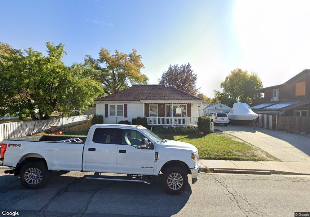
127 W 300 S Bountiful, UT 84010
Estimated Value: $426,000 - $447,000
2
Beds
1
Bath
1,045
Sq Ft
$416/Sq Ft
Est. Value
About This Home
This home is located at 127 W 300 S, Bountiful, UT 84010 and is currently estimated at $434,569, approximately $415 per square foot. 127 W 300 S is a home located in Davis County with nearby schools including Holbrook Elementary School, Millcreek Junior High School, and Bountiful High School.
Ownership History
Date
Name
Owned For
Owner Type
Purchase Details
Closed on
Oct 29, 2021
Sold by
Severin Dorothy N
Bought by
Eugene And Dorothy Severin Family Trust and Fam Dorothy
Current Estimated Value
Home Financials for this Owner
Home Financials are based on the most recent Mortgage that was taken out on this home.
Original Mortgage
$349,125
Outstanding Balance
$318,369
Interest Rate
2.8%
Mortgage Type
New Conventional
Estimated Equity
$116,200
Purchase Details
Closed on
May 24, 2017
Sold by
Severin Eugene A and Severin Dorothy N
Bought by
Severin Trust
Create a Home Valuation Report for This Property
The Home Valuation Report is an in-depth analysis detailing your home's value as well as a comparison with similar homes in the area
Home Values in the Area
Average Home Value in this Area
Purchase History
| Date | Buyer | Sale Price | Title Company |
|---|---|---|---|
| Eugene And Dorothy Severin Family Trust | -- | -- | |
| Weaver Solomon Michael | -- | Keystone Title Ins | |
| Severin Trust | -- | -- |
Source: Public Records
Mortgage History
| Date | Status | Borrower | Loan Amount |
|---|---|---|---|
| Open | Weaver Solomon Michael | $349,125 |
Source: Public Records
Tax History Compared to Growth
Tax History
| Year | Tax Paid | Tax Assessment Tax Assessment Total Assessment is a certain percentage of the fair market value that is determined by local assessors to be the total taxable value of land and additions on the property. | Land | Improvement |
|---|---|---|---|---|
| 2025 | $2,341 | $199,650 | $151,337 | $48,313 |
| 2024 | $2,182 | $194,700 | $141,403 | $53,297 |
| 2023 | $2,079 | $337,000 | $254,359 | $82,641 |
| 2022 | $2,053 | $182,050 | $137,362 | $44,688 |
| 2021 | $381 | $262,000 | $180,012 | $81,988 |
| 2020 | $1,707 | $232,000 | $151,587 | $80,413 |
| 2019 | $1,611 | $225,000 | $146,002 | $78,998 |
| 2018 | $1,560 | $202,000 | $142,810 | $59,190 |
| 2016 | $146 | $95,535 | $63,355 | $32,180 |
| 2015 | $1,351 | $89,540 | $63,355 | $26,185 |
| 2014 | $1,183 | $79,750 | $63,355 | $16,395 |
| 2013 | -- | $94,264 | $45,813 | $48,451 |
Source: Public Records
Map
Nearby Homes
- 46 W 400 S
- 32 W 400 S
- 34 W 400 S
- 650 S Main St Unit 6111
- 254 W 650 S
- 131 W 25 N Unit 4
- 147 W 25 N Unit 5
- 145 S 100 E
- 545 S 100 E
- 314 W Center St Unit D135
- 314 W Center St Unit D159
- 167 S 425 W
- 155 N Peregrine Ln W
- 180 E Center St
- 360 W 800 S
- 51 E 200 N Unit 3
- 55 E 200 N Unit 2
- 59 E 200 N Unit 1
- 254 N Main St
- 256 N Main St