127 W Shore Rd New Preston Marble Dale, CT 06777
Estimated Value: $4,106,000 - $5,140,000
4
Beds
6
Baths
4,249
Sq Ft
$1,111/Sq Ft
Est. Value
About This Home
This home is located at 127 W Shore Rd, New Preston Marble Dale, CT 06777 and is currently estimated at $4,720,830, approximately $1,111 per square foot. 127 W Shore Rd is a home located in Litchfield County with nearby schools including Shepaug Valley School.
Ownership History
Date
Name
Owned For
Owner Type
Purchase Details
Closed on
May 14, 2019
Sold by
Brown Robert D and Riberson-Brown Angie
Bought by
Donovan Ashleigh and Donovan Michael
Current Estimated Value
Purchase Details
Closed on
Jul 2, 2009
Sold by
Weiss Adam and Callaghan Lydia
Bought by
Rosenblatt David and Rosenblatt Laura
Home Financials for this Owner
Home Financials are based on the most recent Mortgage that was taken out on this home.
Original Mortgage
$1,500,000
Interest Rate
4.86%
Mortgage Type
Purchase Money Mortgage
Purchase Details
Closed on
Sep 2, 2005
Sold by
Atkins Richard and Atkins Ellen
Bought by
Brown Robert and Brown Angie
Purchase Details
Closed on
Nov 5, 1999
Sold by
Crossroad Dev
Bought by
Long Horizon Dev
Create a Home Valuation Report for This Property
The Home Valuation Report is an in-depth analysis detailing your home's value as well as a comparison with similar homes in the area
Home Values in the Area
Average Home Value in this Area
Purchase History
| Date | Buyer | Sale Price | Title Company |
|---|---|---|---|
| Donovan Ashleigh | -- | -- | |
| Donovan Ashleigh | -- | -- | |
| Rosenblatt David | $3,500,000 | -- | |
| Rosenblatt David | $3,500,000 | -- | |
| Brown Robert | $1,050,000 | -- | |
| Brown Robert | $1,050,000 | -- | |
| Long Horizon Dev | $54,900 | -- |
Source: Public Records
Mortgage History
| Date | Status | Borrower | Loan Amount |
|---|---|---|---|
| Previous Owner | Long Horizon Dev | $2,000,000 | |
| Previous Owner | Long Horizon Dev | $2,100,000 | |
| Previous Owner | Long Horizon Dev | $1,500,000 |
Source: Public Records
Tax History Compared to Growth
Tax History
| Year | Tax Paid | Tax Assessment Tax Assessment Total Assessment is a certain percentage of the fair market value that is determined by local assessors to be the total taxable value of land and additions on the property. | Land | Improvement |
|---|---|---|---|---|
| 2025 | $32,478 | $2,993,410 | $801,360 | $2,192,050 |
| 2024 | $32,478 | $2,993,410 | $801,360 | $2,192,050 |
| 2023 | $32,339 | $2,269,380 | $734,580 | $1,534,800 |
| 2022 | $32,339 | $2,269,380 | $734,580 | $1,534,800 |
| 2021 | $32,339 | $2,269,380 | $734,580 | $1,534,800 |
| 2020 | $32,339 | $2,269,380 | $734,580 | $1,534,800 |
| 2019 | $32,339 | $2,269,380 | $734,580 | $1,534,800 |
| 2018 | $18,875 | $1,324,540 | $504,560 | $819,980 |
| 2017 | $18,875 | $1,324,540 | $504,560 | $819,980 |
| 2016 | $18,875 | $1,324,540 | $504,560 | $819,980 |
| 2015 | $18,212 | $1,324,540 | $504,560 | $819,980 |
| 2014 | $17,881 | $1,324,540 | $504,560 | $819,980 |
Source: Public Records
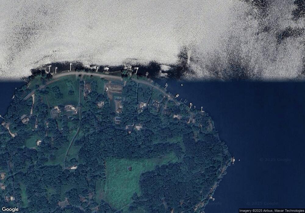
Map
Nearby Homes
- 46 June Rd
- 387 Lake Rd
- 31 June Rd
- 1 N Shore Rd
- 198 Tinker Hill Rd
- 226 Tinker Hill Rd
- 0 Curtiss Rd
- 18 Arrow Point Rd
- 132 Curtiss Rd
- 77 New Milford Turnpike
- 25 Mountain Lake Rd
- 0 Mountain Lake Rd
- 54 Scofield Hill Rd
- 149 Litchfield Turnpike
- 147 Litchfield Turnpike
- 163 Lake Rd
- 35 Quarry Ridge Rd Unit 35
- 29 Quarry Ridge Rd
- 93 Quarry Ridge Rd Unit 93
- 217 Sawyer Hill Rd
- 133 W Shore Rd
- 131 W Shore Rd
- 125 W Shore Rd
- 136 W Shore Rd
- 123 W Shore Rd
- 137 W Shore Rd
- 113 W Shore Rd
- 139 W Shore Rd
- 105 W Shore Rd
- 147 W Shore Rd
- 149 W Shore Rd
- 101 W Shore Rd
- 151 W Shore Rd
- 96 Tinker Hill Rd
- 90 Tinker Hill Rd
- 94 Tinker Hill Rd
- 153 W Shore Rd
- 157 W Shore Rd
- 92 Tinker Hill Rd
- 91 W Shore Rd