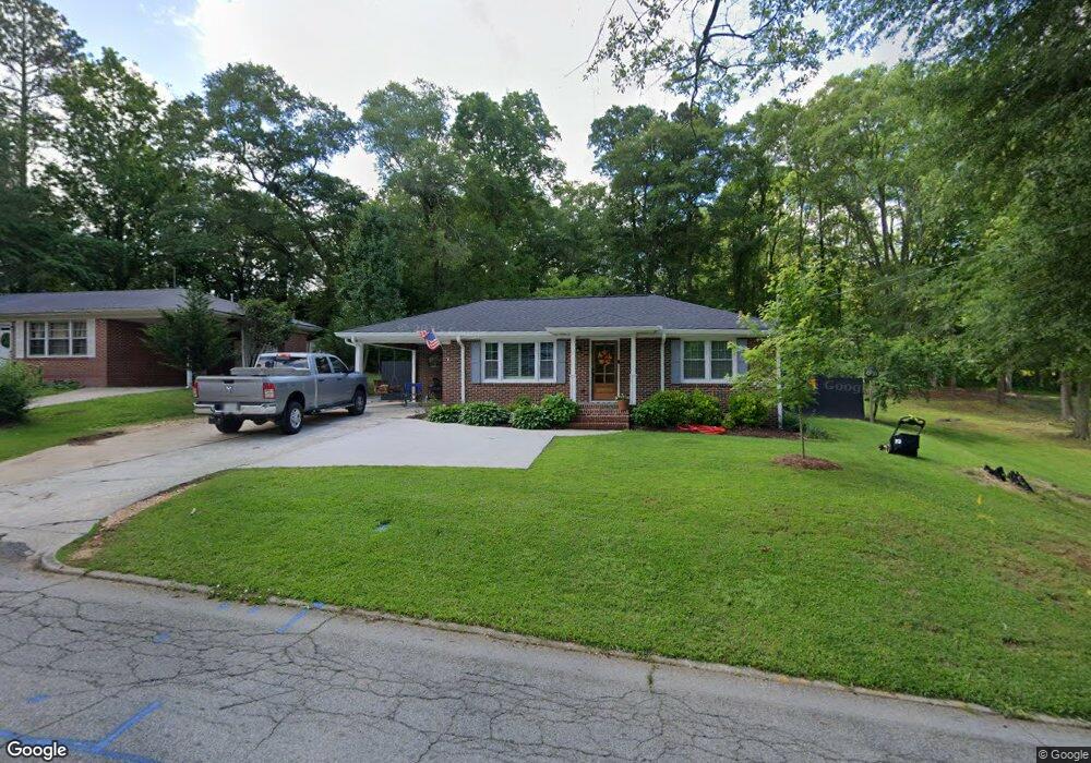
127 W White St Carrollton, GA 30117
Estimated Value: $181,000 - $229,000
2
Beds
2
Baths
815
Sq Ft
$254/Sq Ft
Est. Value
About This Home
This home is located at 127 W White St, Carrollton, GA 30117 and is currently estimated at $207,176, approximately $254 per square foot. 127 W White St is a home located in Carroll County with nearby schools including Carrollton Elementary School, Carrollton Upper Elementary School, and Carrollton Middle School.
Ownership History
Date
Name
Owned For
Owner Type
Purchase Details
Closed on
Jul 3, 2019
Sold by
Shoemake Deidra
Bought by
Dunagan Meagan Shea
Current Estimated Value
Home Financials for this Owner
Home Financials are based on the most recent Mortgage that was taken out on this home.
Original Mortgage
$109,650
Outstanding Balance
$96,063
Interest Rate
3.82%
Mortgage Type
New Conventional
Estimated Equity
$111,113
Purchase Details
Closed on
Mar 13, 2013
Sold by
Hendrix Horace K
Bought by
Shoemake Deidra
Purchase Details
Closed on
Mar 20, 1991
Bought by
Hendrix Horace
Create a Home Valuation Report for This Property
The Home Valuation Report is an in-depth analysis detailing your home's value as well as a comparison with similar homes in the area
Home Values in the Area
Average Home Value in this Area
Purchase History
| Date | Buyer | Sale Price | Title Company |
|---|---|---|---|
| Dunagan Meagan Shea | $131,000 | -- | |
| Shoemake Deidra | -- | -- | |
| Hendrix Horace | $20,000 | -- |
Source: Public Records
Mortgage History
| Date | Status | Borrower | Loan Amount |
|---|---|---|---|
| Open | Dunagan Meagan Shea | $109,650 |
Source: Public Records
Tax History Compared to Growth
Tax History
| Year | Tax Paid | Tax Assessment Tax Assessment Total Assessment is a certain percentage of the fair market value that is determined by local assessors to be the total taxable value of land and additions on the property. | Land | Improvement |
|---|---|---|---|---|
| 2024 | $1,591 | $67,382 | $24,442 | $42,940 |
| 2023 | $1,628 | $65,179 | $24,443 | $40,736 |
| 2022 | $1,397 | $54,753 | $16,285 | $38,468 |
| 2021 | $1,179 | $45,257 | $12,069 | $33,188 |
| 2020 | $1,085 | $41,148 | $12,069 | $29,079 |
| 2019 | $1,110 | $37,629 | $11,193 | $26,436 |
| 2018 | $846 | $28,288 | $11,193 | $17,095 |
| 2017 | $683 | $22,696 | $11,193 | $11,503 |
| 2016 | $694 | $22,948 | $14,168 | $8,780 |
| 2015 | $421 | $13,621 | $5,667 | $7,954 |
| 2014 | $423 | $13,622 | $5,667 | $7,954 |
Source: Public Records
Map
Nearby Homes
- 777 College St
- 103 W Chandler St
- 541 N White St Unit 12
- 541 N White St
- 123 Cedar Park Way
- 111 Lakeview Dr
- 110 Town Walk Ln
- 123 Autumn Glen Dr
- 405 N Park St
- 108 Springwood Dr
- 0 Ward St Unit 10390499
- 201 Stewart St
- 205 Johnson Ave Unit 231
- 654 King St
- TRACT1-7 Us Highway 27
- 120 Stewart St
- 816 Stewart St
- 322 Cedar St
- 325 Almon Rd
- 119 Oxford Square
- 127 W White St
- 131 W White St
- 117 W White St
- 117 W White St Unit 129
- 101 Winchester Dr
- 119 W White St
- 124 W White St
- 103 Winchester Dr
- 132 W White St
- 107 Colt Dr
- 113 W White St
- 0 Colt Dr
- 105 Colt Dr
- 116 W White St
- 0 Winchester Dr Unit 8389257
- 0 Winchester Dr
- 136 W White St
- 104 Winchester Dr
- 104 Colt Dr
- 201 Winchester Dr