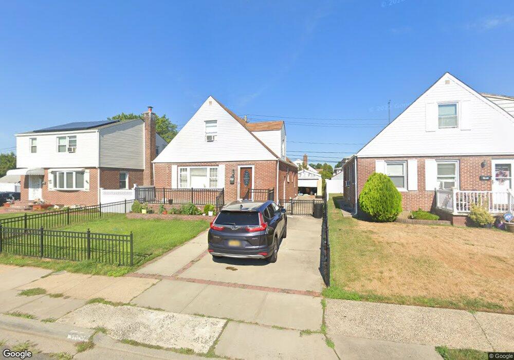
127 Warwick Rd Elmont, NY 11003
Estimated Value: $707,525 - $712,000
4
Beds
2
Baths
1,383
Sq Ft
$513/Sq Ft
Est. Value
About This Home
This home is located at 127 Warwick Rd, Elmont, NY 11003 and is currently estimated at $709,763, approximately $513 per square foot. 127 Warwick Rd is a home located in Nassau County with nearby schools including Martin De Porres School and Bible Baptist Academy.
Ownership History
Date
Name
Owned For
Owner Type
Purchase Details
Closed on
Aug 7, 2017
Sold by
Zeh Jo-Ann and Zeh Clinton
Bought by
George Philip and Philip Mini
Current Estimated Value
Home Financials for this Owner
Home Financials are based on the most recent Mortgage that was taken out on this home.
Original Mortgage
$364,500
Outstanding Balance
$304,147
Interest Rate
3.96%
Mortgage Type
New Conventional
Estimated Equity
$405,616
Create a Home Valuation Report for This Property
The Home Valuation Report is an in-depth analysis detailing your home's value as well as a comparison with similar homes in the area
Home Values in the Area
Average Home Value in this Area
Purchase History
| Date | Buyer | Sale Price | Title Company |
|---|---|---|---|
| George Philip | $405,000 | The Judicial Title Insurance |
Source: Public Records
Mortgage History
| Date | Status | Borrower | Loan Amount |
|---|---|---|---|
| Open | George Philip | $364,500 |
Source: Public Records
Tax History Compared to Growth
Tax History
| Year | Tax Paid | Tax Assessment Tax Assessment Total Assessment is a certain percentage of the fair market value that is determined by local assessors to be the total taxable value of land and additions on the property. | Land | Improvement |
|---|---|---|---|---|
| 2025 | $10,834 | $419 | $200 | $219 |
| 2024 | $3,566 | $419 | $200 | $219 |
| 2023 | $10,848 | $429 | $205 | $224 |
| 2022 | $10,848 | $419 | $200 | $219 |
| 2021 | $14,386 | $410 | $196 | $214 |
| 2020 | $11,330 | $692 | $528 | $164 |
| 2019 | $3,896 | $692 | $528 | $164 |
| 2018 | $7,225 | $692 | $0 | $0 |
| 2017 | $4,083 | $692 | $528 | $164 |
| 2016 | $7,478 | $692 | $528 | $164 |
| 2015 | $2,988 | $692 | $528 | $164 |
| 2014 | $2,988 | $692 | $528 | $164 |
| 2013 | $2,791 | $692 | $528 | $164 |
Source: Public Records
Map
Nearby Homes
- 98 Locustwood Blvd
- 45 Warwick Rd
- 197 Biltmore Ave
- 164 Biltmore Ave
- 257 Biltmore Ave
- 80 Biltmore Ave
- 150 Heathcote Rd
- 7 Sterling Rd
- 10 Cedar St
- 266 Biltmore Ave
- 86-B Gotham Ave
- 12 Biltmore Ave
- 165 Heathcote Rd
- 86 Gotham Ave
- 174 Wellington Rd
- 219 Locustwood Blvd
- 56 Seville St
- 105 Claridge Ave
- 8 Savoy Ave
- 134 Claridge Ave
- 123 Warwick Rd
- 131 Warwick Rd
- 119 Warwick Rd
- 126 Sterling Rd
- 122 Sterling Rd
- 130 Sterling Rd
- 115 Warwick Rd
- 179 109th Ave
- 118 Sterling Rd
- 166 109th Ave
- 120 Warwick Rd
- 114 Sterling Rd
- 111 Warwick Rd
- 183 109th Ave
- 154 109th Ave
- 110 Sterling Rd
- 0 Sterling Rd Unit 3300326
- 145 Warwick Rd
- 4 Pine St
- 107 Warwick Rd