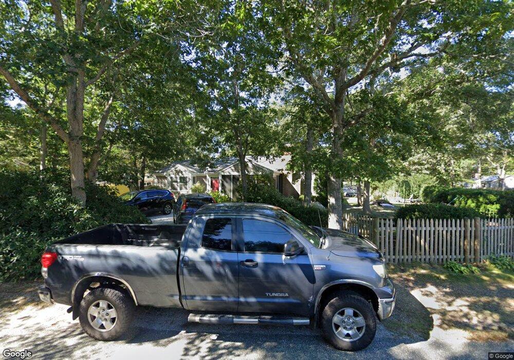
127 Wendward Way West Yarmouth, MA 02673
West Yarmouth NeighborhoodEstimated Value: $513,000 - $647,000
3
Beds
1
Bath
800
Sq Ft
$760/Sq Ft
Est. Value
About This Home
This home is located at 127 Wendward Way, West Yarmouth, MA 02673 and is currently estimated at $608,260, approximately $760 per square foot. 127 Wendward Way is a home located in Barnstable County with nearby schools including Dennis-Yarmouth Regional High School, Barnstable Community Horace Mann Charter Public School, and Sturgis Charter Public School.
Ownership History
Date
Name
Owned For
Owner Type
Purchase Details
Closed on
Oct 11, 2024
Sold by
Youngling Eric and Youngling Rachel A
Bought by
Youngling Rachel A
Current Estimated Value
Purchase Details
Closed on
Feb 18, 2000
Sold by
Lapalme Edmond Lanson
Bought by
Youngling Eric and Youngling Rachel A
Create a Home Valuation Report for This Property
The Home Valuation Report is an in-depth analysis detailing your home's value as well as a comparison with similar homes in the area
Home Values in the Area
Average Home Value in this Area
Purchase History
| Date | Buyer | Sale Price | Title Company |
|---|---|---|---|
| Youngling Rachel A | -- | None Available | |
| Youngling Rachel A | -- | None Available | |
| Youngling Eric | $129,000 | -- | |
| Youngling Eric | $129,000 | -- |
Source: Public Records
Mortgage History
| Date | Status | Borrower | Loan Amount |
|---|---|---|---|
| Previous Owner | Youngling Eric | $188,000 | |
| Previous Owner | Youngling Eric | $138,000 | |
| Previous Owner | Youngling Eric | $106,000 |
Source: Public Records
Tax History Compared to Growth
Tax History
| Year | Tax Paid | Tax Assessment Tax Assessment Total Assessment is a certain percentage of the fair market value that is determined by local assessors to be the total taxable value of land and additions on the property. | Land | Improvement |
|---|---|---|---|---|
| 2025 | $3,794 | $535,900 | $168,300 | $367,600 |
| 2024 | $3,574 | $484,300 | $146,400 | $337,900 |
| 2023 | $3,509 | $432,700 | $133,100 | $299,600 |
| 2022 | $3,358 | $365,800 | $126,900 | $238,900 |
| 2021 | $3,152 | $329,700 | $126,900 | $202,800 |
| 2020 | $3,413 | $341,300 | $134,300 | $207,000 |
| 2019 | $73 | $311,600 | $134,300 | $177,300 |
| 2018 | $2,976 | $289,200 | $111,900 | $177,300 |
| 2017 | $2,898 | $289,200 | $111,900 | $177,300 |
| 2016 | $2,796 | $280,200 | $102,900 | $177,300 |
| 2015 | $2,621 | $261,100 | $98,500 | $162,600 |
Source: Public Records
Map
Nearby Homes
- 23 Baxter Ave
- 21 & 23 Glenwood St
- 18 Rachel Rd
- 14 Brewster Rd
- 13 Webster Rd
- 0 Ken's Way
- 83 Main St
- 16 Iyannough Rd
- 110 School St Unit E113
- 115 School St Unit W206
- 107 Channel Point Rd
- 22 Terry Ct
- 24 Valley Rd
- 481 Buck Island Rd Unit 9AA
- 481 Buck Island Rd Unit 17FA
- 107 Wimbledon Dr
- 35 Pleasant St
- 25 Ripple Cove Rd
- 130 Wimbledon Dr
- 33 Hedge Row
- 133 Wendward Way
- 135 Wendward Way
- 32 Oval Dr
- 119 Wendward Way
- 128 Wendward Way
- 14 Round Dr
- 120 Wendward Way
- 33 Oval Dr
- 139 Wendward Way
- 11 Round Dr
- 25 Jacqueline Cir
- 112 Wendward Way
- 111 Wendward Way
- 19 Jacqueline Cir
- 140 Wendward Way
- 26 Oval Dr
- 9 Oval Dr
- 33 Jacqueline Cir
- 145 Wendward Way
- 15 Jacqueline Cir