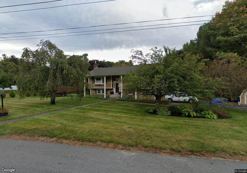
127 William g Dr Tewksbury, MA 01876
Estimated Value: $698,433 - $816,000
3
Beds
2
Baths
1,144
Sq Ft
$655/Sq Ft
Est. Value
About This Home
This home is located at 127 William g Dr, Tewksbury, MA 01876 and is currently estimated at $749,608, approximately $655 per square foot. 127 William g Dr is a home located in Middlesex County with nearby schools including John F. Ryan Elementary School, John W. Wynn Middle School, and Tewksbury Memorial High School.
Ownership History
Date
Name
Owned For
Owner Type
Purchase Details
Closed on
Apr 8, 2015
Sold by
Walsh William J and Walsh Sandra L
Bought by
Walsh Ft and Walsh William J
Current Estimated Value
Purchase Details
Closed on
Mar 18, 1991
Sold by
Shea Eugene C and Shea Joyce M
Bought by
Walsh William J and Joyce Sandra L
Create a Home Valuation Report for This Property
The Home Valuation Report is an in-depth analysis detailing your home's value as well as a comparison with similar homes in the area
Home Values in the Area
Average Home Value in this Area
Purchase History
| Date | Buyer | Sale Price | Title Company |
|---|---|---|---|
| Walsh Ft | -- | -- | |
| Walsh William J | $160,000 | -- |
Source: Public Records
Mortgage History
| Date | Status | Borrower | Loan Amount |
|---|---|---|---|
| Previous Owner | Walsh William J | $130,327 | |
| Previous Owner | Walsh William J | $24,000 | |
| Previous Owner | Walsh William J | $145,000 | |
| Previous Owner | Walsh William J | $133,000 |
Source: Public Records
Tax History Compared to Growth
Tax History
| Year | Tax Paid | Tax Assessment Tax Assessment Total Assessment is a certain percentage of the fair market value that is determined by local assessors to be the total taxable value of land and additions on the property. | Land | Improvement |
|---|---|---|---|---|
| 2025 | $8,278 | $626,200 | $351,100 | $275,100 |
| 2024 | $7,905 | $590,400 | $334,500 | $255,900 |
| 2023 | $7,669 | $543,900 | $304,000 | $239,900 |
| 2022 | $7,294 | $479,900 | $264,400 | $215,500 |
| 2021 | $6,964 | $443,000 | $241,000 | $202,000 |
| 2020 | $6,829 | $427,600 | $229,600 | $198,000 |
| 2019 | $6,197 | $391,200 | $218,300 | $172,900 |
| 2018 | $5,976 | $370,500 | $218,300 | $152,200 |
| 2017 | $5,767 | $353,600 | $218,300 | $135,300 |
| 2016 | $5,621 | $343,800 | $218,300 | $125,500 |
| 2015 | $5,569 | $340,200 | $214,800 | $125,400 |
| 2014 | $5,365 | $333,000 | $218,300 | $114,700 |
Source: Public Records
Map
Nearby Homes
- 7 Stouffer Cir
- 120 Judique Rd
- 14 Blanchard St
- 22 Haggetts Pond Rd
- 68 Catamount Rd
- 837 Livingston St
- 1170 Livingston St
- 51 Nolan Ct Unit 51
- 399 North St
- 14 Geneva Rd
- 15 Geneva Rd
- 51 Jills Way
- 347 Lowell St
- 139 Prospect Hill Dr Unit Lot 15
- 110 Royal Crest Cir
- 1465 Shawsheen St
- 1117 Emerald Ct
- 11 Emerald Ct
- 93 Vale St
- 13 Berkeley
- 130 William g Dr
- 141 William g Dr
- 115 William g Dr
- 39 Bonnie Ln
- 154 William g Dr
- 118 William g Dr
- 20 Heather Row
- 9 Heather Row
- 151 William g Dr
- 19 Heather Row
- 50 Bonnie Ln
- 30 Heather Row
- 29 Bonnie Ln
- 95 William g Dr
- 29 Heather Row
- 94 William g Dr
- 164 William g Dr
- 10 Bonnie Ln
- 40 Heather Row
- 6 Bonnie Ln