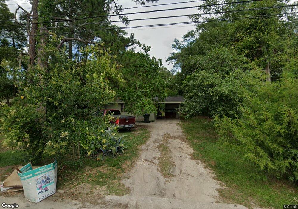
127 Wmtm Rd Moultrie, GA 31788
Estimated Value: $193,000 - $314,000
--
Bed
--
Bath
825
Sq Ft
$310/Sq Ft
Est. Value
About This Home
This home is located at 127 Wmtm Rd, Moultrie, GA 31788 and is currently estimated at $255,744, approximately $309 per square foot. 127 Wmtm Rd is a home with nearby schools including Cox Elementary School, Willie J. Williams Middle School, and C.A. Gray Junior High School.
Ownership History
Date
Name
Owned For
Owner Type
Purchase Details
Closed on
Feb 11, 2014
Sold by
Phelps Laura J
Bought by
Mccorvey Randy
Current Estimated Value
Purchase Details
Closed on
Apr 30, 2007
Sold by
Mccorvey Randy
Bought by
Neariah Properties Llc
Home Financials for this Owner
Home Financials are based on the most recent Mortgage that was taken out on this home.
Original Mortgage
$150,000
Interest Rate
6.11%
Mortgage Type
New Conventional
Purchase Details
Closed on
Jan 22, 1998
Bought by
Mccorvey Randy
Purchase Details
Closed on
Aug 31, 1978
Bought by
Funderburk Darrell F
Create a Home Valuation Report for This Property
The Home Valuation Report is an in-depth analysis detailing your home's value as well as a comparison with similar homes in the area
Home Values in the Area
Average Home Value in this Area
Purchase History
| Date | Buyer | Sale Price | Title Company |
|---|---|---|---|
| Mccorvey Randy | -- | -- | |
| Neariah Properties Llc | $200,000 | -- | |
| Mccorvey Randy | $90,000 | -- | |
| Funderburk Darrell F | $63,000 | -- |
Source: Public Records
Mortgage History
| Date | Status | Borrower | Loan Amount |
|---|---|---|---|
| Previous Owner | Neariah Properties Llc | $150,000 |
Source: Public Records
Tax History Compared to Growth
Tax History
| Year | Tax Paid | Tax Assessment Tax Assessment Total Assessment is a certain percentage of the fair market value that is determined by local assessors to be the total taxable value of land and additions on the property. | Land | Improvement |
|---|---|---|---|---|
| 2024 | $3,284 | $108,803 | $3,944 | $104,859 |
| 2023 | $3,284 | $70,203 | $3,944 | $66,259 |
| 2022 | $2,106 | $62,912 | $3,944 | $58,968 |
| 2021 | $2,046 | $60,334 | $3,944 | $56,390 |
| 2020 | $1,842 | $53,408 | $3,944 | $49,464 |
| 2019 | $2,073 | $53,408 | $3,944 | $49,464 |
| 2018 | $2,133 | $53,408 | $3,944 | $49,464 |
| 2017 | $2,051 | $53,408 | $3,944 | $49,464 |
| 2016 | $2,133 | $53,408 | $3,944 | $49,464 |
| 2015 | $2,138 | $53,408 | $3,944 | $49,464 |
| 2014 | $2,191 | $53,408 | $3,944 | $49,464 |
| 2013 | -- | $53,408 | $3,944 | $49,464 |
Source: Public Records
Map
Nearby Homes
- 157 Quail Ridge
- 169 Quail Ridge
- 1716 5th Ave SE
- 1113 Georgia 133
- LOT 64 Georgia 37
- LOT 60 Georgia 37
- 127 Pineview Ave
- 2332 Georgia 37
- LL261 Rowland Dr
- 1021 11th Ave SE
- 0 Doc Darbyshire Rd
- 619 E Central Ave
- 521 5th Ave SE Unit 4
- 515 5th Ave SE Unit 4
- 1701 10th St SE
- 407 1st Ave SE
- 302 4th Ave SE
- 619 3rd St SE
- 308 Hillcrest Ave
- 224 4th Ave SE
- 129 Wmtm Rd
- 114 Wmtm Rd
- 000 Doug Turner Rd
- 105 Wmtm Rd
- 106 Wmtm Rd
- 104 Wmtm Rd
- 108 Wmtm Rd
- 2916 Doug Turner Dr
- 103 Wmtm Rd
- 172 Industrial Dr
- 160 Industrial Dr
- 180 Industrial Dr
- 116 Wmtm Rd
- 101 Wmtm Rd
- 2924 Doug Turner Dr
- 179 Industrial Dr
- 2800 5th Ave SE
- 2933 Old Adel Rd
- 2604 1st Ave SE
- 2953 Old Adel Rd