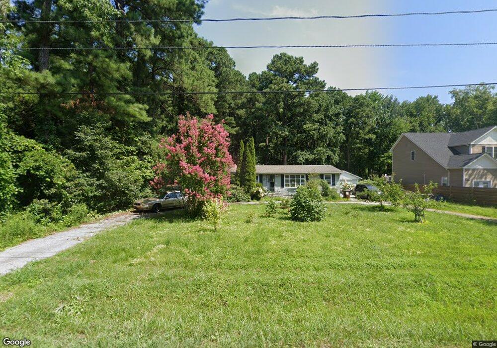
127 Worcester Rd Stevensville, MD 21666
Romancoke NeighborhoodEstimated Value: $401,972 - $462,000
--
Bed
1
Bath
1,606
Sq Ft
$269/Sq Ft
Est. Value
About This Home
This home is located at 127 Worcester Rd, Stevensville, MD 21666 and is currently estimated at $431,743, approximately $268 per square foot. 127 Worcester Rd is a home located in Queen Anne's County with nearby schools including Matapeake Elementary School, Matapeake Middle School, and Kent Island High School.
Ownership History
Date
Name
Owned For
Owner Type
Purchase Details
Closed on
Apr 21, 2004
Sold by
Wilburn Ronald Leslie
Bought by
Kundrat John J
Current Estimated Value
Purchase Details
Closed on
Sep 4, 1991
Sold by
Henley Marion T Robert E
Bought by
Wilburn Ronald Leslie
Home Financials for this Owner
Home Financials are based on the most recent Mortgage that was taken out on this home.
Original Mortgage
$100,346
Interest Rate
9.15%
Create a Home Valuation Report for This Property
The Home Valuation Report is an in-depth analysis detailing your home's value as well as a comparison with similar homes in the area
Home Values in the Area
Average Home Value in this Area
Purchase History
| Date | Buyer | Sale Price | Title Company |
|---|---|---|---|
| Kundrat John J | $225,000 | -- | |
| Wilburn Ronald Leslie | $98,500 | -- |
Source: Public Records
Mortgage History
| Date | Status | Borrower | Loan Amount |
|---|---|---|---|
| Previous Owner | Wilburn Ronald Leslie | $100,346 | |
| Closed | Kundrat John J | -- |
Source: Public Records
Tax History Compared to Growth
Tax History
| Year | Tax Paid | Tax Assessment Tax Assessment Total Assessment is a certain percentage of the fair market value that is determined by local assessors to be the total taxable value of land and additions on the property. | Land | Improvement |
|---|---|---|---|---|
| 2025 | $2,723 | $320,533 | $0 | $0 |
| 2024 | $2,723 | $297,367 | $0 | $0 |
| 2023 | $2,583 | $274,200 | $150,500 | $123,700 |
| 2022 | $2,516 | $267,067 | $0 | $0 |
| 2021 | $4,986 | $259,933 | $0 | $0 |
| 2020 | $2,485 | $252,800 | $130,500 | $122,300 |
| 2019 | $2,456 | $249,867 | $0 | $0 |
| 2018 | $2,428 | $246,933 | $0 | $0 |
| 2017 | $2,400 | $244,000 | $0 | $0 |
| 2016 | -- | $236,033 | $0 | $0 |
| 2015 | $1,006 | $228,067 | $0 | $0 |
| 2014 | $1,006 | $220,100 | $0 | $0 |
Source: Public Records
Map
Nearby Homes
- 213 Caroline Rd
- 116 Talbot Rd
- 132 Talbot Rd
- 224 Wicomico Rd
- 300 Talbot Rd
- 101 Oak St
- 122 Mallard Dr
- 128 Talbot Rd
- 205 Mallard Dr
- 8905 Romancoke Rd
- 223 Baltimore Rd
- 325 S Carolina Rd
- Lot 1 - E/Kent Point Romancoke
- 211 Queen Anne Rd
- 0 Touhey Dr Unit MDQA2014996
- 9401 Romancoke Rd
- 414 Bay Dr
- 118 N Lake Dr
- 133 Olive Branch Rd
- 114 N Lake Dr
- 129 Worcester Rd
- 133 Worcester Rd
- 121 Worcester Rd
- 130 Worcester Rd
- 128 Worcester Rd
- 137 Worcester Rd
- 135 Worcester Rd
- 134 Worcester Rd
- 118 Worcester Rd
- 113 Worcester Rd
- 143 Worcester Rd
- 116 Worcester Rd
- 138 Worcester Rd
- 100 Caroline Rd
- 109 Worcester Rd
- 114 Worcester Rd
- 121 Talbot Rd
- 117 Talbot Rd
- 131 Talbot Rd
- 112 Saint Marys Rd