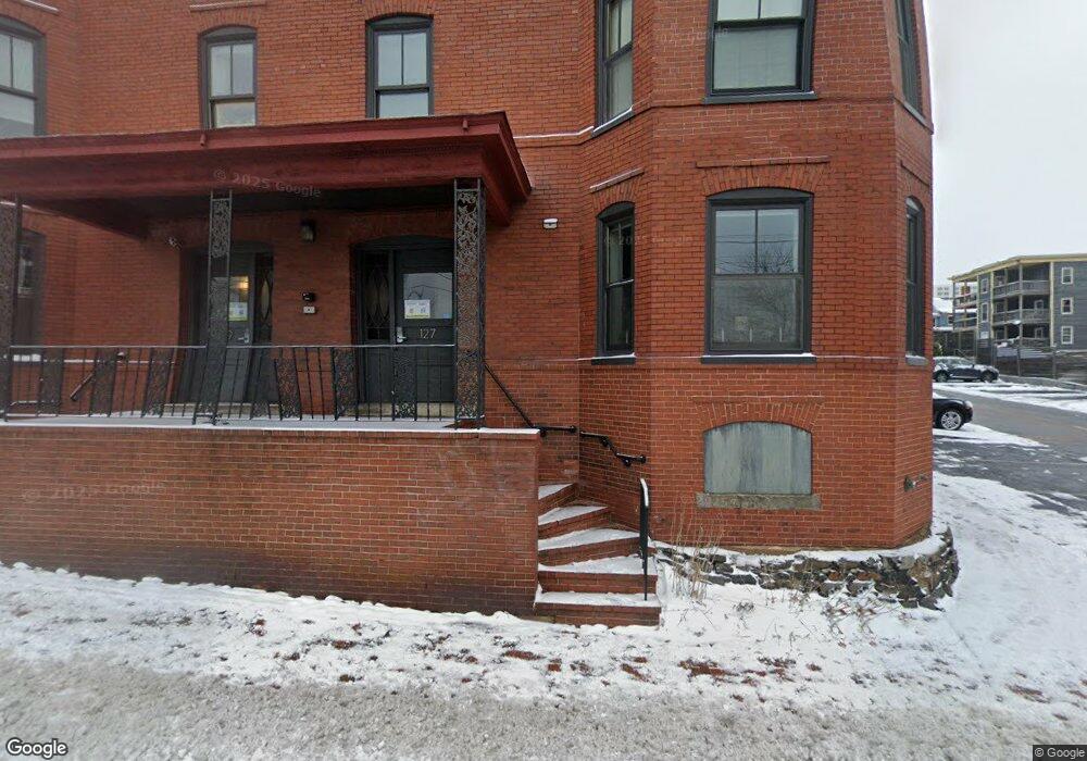
127 York St Unit 6 Portland, ME 04101
West End NeighborhoodEstimated Value: $377,000 - $504,000
1
Bed
1
Bath
623
Sq Ft
$692/Sq Ft
Est. Value
About This Home
This home is located at 127 York St Unit 6, Portland, ME 04101 and is currently estimated at $431,427, approximately $692 per square foot. 127 York St Unit 6 is a home located in Cumberland County with nearby schools including Howard C. Reiche Community School, King Middle School, and Baxter Academy for Tech & Sciences.
Ownership History
Date
Name
Owned For
Owner Type
Purchase Details
Closed on
Mar 14, 2013
Sold by
Mcginnis Setsuko and Mcginnis William J
Bought by
Mcginnis Michael B and Mcginnis Audra
Current Estimated Value
Home Financials for this Owner
Home Financials are based on the most recent Mortgage that was taken out on this home.
Original Mortgage
$121,550
Outstanding Balance
$83,645
Interest Rate
3%
Mortgage Type
Unknown
Estimated Equity
$347,782
Purchase Details
Closed on
Sep 7, 2011
Sold by
26 Front Street Llc
Bought by
Mcginnis William J and Mcginnis Setsuko
Create a Home Valuation Report for This Property
The Home Valuation Report is an in-depth analysis detailing your home's value as well as a comparison with similar homes in the area
Home Values in the Area
Average Home Value in this Area
Purchase History
| Date | Buyer | Sale Price | Title Company |
|---|---|---|---|
| Mcginnis Michael B | $187,000 | -- | |
| Mcginnis William J | -- | -- |
Source: Public Records
Mortgage History
| Date | Status | Borrower | Loan Amount |
|---|---|---|---|
| Open | Mcginnis Michael B | $121,550 |
Source: Public Records
Tax History Compared to Growth
Tax History
| Year | Tax Paid | Tax Assessment Tax Assessment Total Assessment is a certain percentage of the fair market value that is determined by local assessors to be the total taxable value of land and additions on the property. | Land | Improvement |
|---|---|---|---|---|
| 2024 | $3,677 | $245,000 | $49,000 | $196,000 |
| 2023 | $3,530 | $245,000 | $49,000 | $196,000 |
| 2022 | $3,334 | $245,000 | $49,000 | $196,000 |
| 2021 | $3,183 | $245,000 | $49,000 | $196,000 |
| 2020 | $3,744 | $160,600 | $32,100 | $128,500 |
| 2019 | $3,744 | $160,600 | $32,100 | $128,500 |
| 2018 | $3,610 | $160,600 | $32,100 | $128,500 |
| 2017 | $3,477 | $160,600 | $32,100 | $128,500 |
| 2016 | $3,390 | $160,600 | $32,100 | $128,500 |
| 2015 | $3,313 | $160,600 | $32,100 | $128,500 |
| 2014 | -- | $160,600 | $32,100 | $128,500 |
Source: Public Records
Map
Nearby Homes
- 25 High St Unit 214
- 25 High St Unit 408
- 387 Commercial St Unit 710
- 16 Guilford Ct Unit 3B
- 383 Commercial St
- 383 Commercial St Unit 405
- 383 Commercial St Unit 709
- 383 Commercial St Unit 315
- 32 State St Unit 1
- 48 Chandlers Wharf Boat Slip Unit 48
- 105 Chandlers Wharf Unit 105
- 126 Winter St Unit 1
- 207 State St
- 10 Exchange St Unit 307
- 12 May St
- 379 Cumberland Ave Unit 3
- 6 Horton Place
- 30 Dow St
- 1 Horton Place
- 64 Pine St Unit 303
- 129 York St Unit 2
- 127 York St Unit 3
- 129 York St Unit 6
- 129 York St Unit 1
- 129 York St Unit 5
- 127 York St Unit 5
- 129 York St Unit 3
- 127 York St Unit 4
- 127 York St Unit 1
- 127 York St Unit 2
- 129 York St Unit 4
- 125 York St Unit A
- 125 York St Unit B
- 125 York St Unit E
- 125 York St Unit G
- 125 York St Unit F
- 133 York St
- 133 York St
- 133 York St Unit 3
- 133 York St Unit 6