1270 Armor Point Greensboro, GA 30642
Estimated Value: $1,924,000 - $3,184,000
--
Bed
5
Baths
3,764
Sq Ft
$684/Sq Ft
Est. Value
About This Home
This home is located at 1270 Armor Point, Greensboro, GA 30642 and is currently estimated at $2,574,187, approximately $683 per square foot. 1270 Armor Point is a home located in Greene County with nearby schools including Greene County High School.
Ownership History
Date
Name
Owned For
Owner Type
Purchase Details
Closed on
Feb 13, 2007
Sold by
Aversa Thomas A
Bought by
Aversa Thomas A and Aversa Pamela T
Current Estimated Value
Purchase Details
Closed on
Dec 19, 2005
Sold by
Oconee Richland Co
Bought by
Aversa Thomas A and Aversa Pamela T
Purchase Details
Closed on
Dec 29, 2000
Sold by
Port Armor Capital Llc
Bought by
Aversa Thomas A and Aversa Pamela T
Create a Home Valuation Report for This Property
The Home Valuation Report is an in-depth analysis detailing your home's value as well as a comparison with similar homes in the area
Home Values in the Area
Average Home Value in this Area
Purchase History
| Date | Buyer | Sale Price | Title Company |
|---|---|---|---|
| Aversa Thomas A | -- | -- | |
| Aversa Thomas A | -- | -- | |
| Aversa Thomas A | $240,000 | -- |
Source: Public Records
Mortgage History
| Date | Status | Borrower | Loan Amount |
|---|---|---|---|
| Closed | Aversa Thomas A | $0 |
Source: Public Records
Tax History Compared to Growth
Tax History
| Year | Tax Paid | Tax Assessment Tax Assessment Total Assessment is a certain percentage of the fair market value that is determined by local assessors to be the total taxable value of land and additions on the property. | Land | Improvement |
|---|---|---|---|---|
| 2024 | $4,929 | $715,960 | $232,000 | $483,960 |
| 2023 | $5,808 | $705,600 | $232,000 | $473,600 |
| 2022 | $5,901 | $631,000 | $188,000 | $443,000 |
| 2021 | $8,178 | $515,800 | $140,000 | $375,800 |
| 2020 | $7,646 | $364,280 | $159,360 | $204,920 |
| 2019 | $7,763 | $364,280 | $159,360 | $204,920 |
| 2018 | $7,741 | $364,280 | $159,360 | $204,920 |
| 2017 | $7,201 | $360,686 | $159,375 | $201,311 |
| 2016 | $7,254 | $363,190 | $159,375 | $203,815 |
| 2015 | $7,123 | $363,190 | $159,375 | $203,815 |
| 2014 | $6,921 | $344,896 | $159,375 | $185,521 |
Source: Public Records
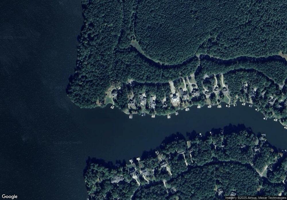
Map
Nearby Homes
- 1520 Snug Harbor Dr
- 1780 Snug Harbor Dr
- 1011 Ridge Terrace
- 1811 Snug Harbor Dr
- 1041 Lake Pointe S
- 1021 Emerald View Dr
- 1201 Lakeview Ct
- 1041 Fairway Ridge Rd
- 1080 Water Front Rd
- 1281 Snug Harbor Dr
- 1010 Overlook Cove
- 1071 Big Water Cir
- 1320 Fairway Ridge Dr
- 1151 Crooked Creek Rd
- 1010 Snug Harbor Ct
- 1041 Lone Oak Rd
- 1020 Fairway Ridge Cir
- 1041 Fairway Ridge Cir
- 1280 Armor Point
- 1260 Armor Point
- 1250 Armor Point
- 1290 Armor Point
- 0 Armor Point Unit 7361033
- 0 Armor Point Unit 7410933
- 0 Armor Point Unit 7391147
- 0 Armor Point Unit 8127741
- 0 Armor Point Unit 7240859
- 0 Armor Point
- 1220 Armor Point
- 1210 Paloma Dr
- 1561 Snug Harbor Dr
- 1571 Snug Harbor Dr
- 1571 Snug Harbor Dr Unit 1571
- 1200 Paloma Dr
- 1581 Snug Harbor Dr
- 1601 Snug Harbor Dr
- 1551 Snug Harbor Dr
- 1621 Snug Harbor Dr