1270 Armour Rd Greensboro, GA 30642
Estimated Value: $683,000 - $1,205,000
--
Bed
3
Baths
2,072
Sq Ft
$456/Sq Ft
Est. Value
About This Home
This home is located at 1270 Armour Rd, Greensboro, GA 30642 and is currently estimated at $945,803, approximately $456 per square foot. 1270 Armour Rd is a home located in Greene County with nearby schools including Greene County High School.
Ownership History
Date
Name
Owned For
Owner Type
Purchase Details
Closed on
Jul 29, 2024
Sold by
Baize J Scott
Bought by
Baize J Scott J and Baize Katherine E
Current Estimated Value
Purchase Details
Closed on
Oct 21, 2018
Sold by
Mid Georgia Trucking Co Inc
Bought by
Baize J Scott and Baize Ann
Purchase Details
Closed on
Apr 1, 1998
Sold by
Davis Gerald D and Davis Betty J
Bought by
Mid-Georgia Trucking Co Inc
Purchase Details
Closed on
Jan 1, 1981
Sold by
Camp Thomas W
Bought by
Davis Gerald D and Davis Betty J
Purchase Details
Closed on
Jan 1, 1978
Bought by
Camp Thomas W and Camp
Create a Home Valuation Report for This Property
The Home Valuation Report is an in-depth analysis detailing your home's value as well as a comparison with similar homes in the area
Home Values in the Area
Average Home Value in this Area
Purchase History
| Date | Buyer | Sale Price | Title Company |
|---|---|---|---|
| Baize J Scott J | -- | -- | |
| Baize J Scott | -- | -- | |
| Mid-Georgia Trucking Co Inc | $235,000 | -- | |
| Davis Gerald D | -- | -- | |
| Camp Thomas W | -- | -- |
Source: Public Records
Tax History Compared to Growth
Tax History
| Year | Tax Paid | Tax Assessment Tax Assessment Total Assessment is a certain percentage of the fair market value that is determined by local assessors to be the total taxable value of land and additions on the property. | Land | Improvement |
|---|---|---|---|---|
| 2025 | $5,062 | $335,624 | $82,640 | $252,984 |
| 2024 | $5,111 | $315,984 | $82,640 | $233,344 |
| 2023 | $5,643 | $313,120 | $82,640 | $230,480 |
| 2022 | $3,446 | $187,200 | $82,640 | $104,560 |
| 2021 | $3,004 | $177,400 | $81,320 | $96,080 |
| 2020 | $3,031 | $139,000 | $77,760 | $61,240 |
| 2019 | $3,116 | $139,000 | $77,760 | $61,240 |
| 2018 | $3,099 | $139,000 | $77,760 | $61,240 |
| 2017 | $2,897 | $138,635 | $77,760 | $60,875 |
| 2016 | $2,930 | $140,566 | $77,760 | $62,806 |
| 2015 | $2,912 | $140,565 | $77,760 | $62,806 |
| 2014 | $2,897 | $136,380 | $77,760 | $58,620 |
Source: Public Records
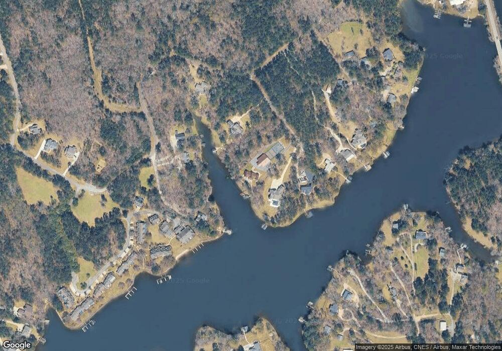
Map
Nearby Homes
- 1113 Wharfside Ct
- 1107 Wharfside Ct
- 1041 Shadow Creek Way
- 1001 Shoal Creek Ct
- 2390 Club Dr
- 1070 Shadow Creek Way
- 1131 Fleur de Lac Ln
- 1041 Pinehurst Dr
- 1051 Pinehurst Dr
- 1091 Pinehurst Dr
- 2541 Club Dr
- 1050 Spy Glass Hill
- 1061 Oak Valley Rd
- 1010 Forrest Highlands
- 1071 Spy Glass Hill
- 2660 Club Dr
- 1040 Oak Valley Rd
- 1020 Oak Valley Rd
- 2691 Club Dr
- 1021 Winged Foot Dr
- 1290 Armour Rd
- 1300 Armour Rd
- 1240 Armour Rd
- 1000 Bradford Cove
- 1030 Bradford Cove
- 1050 Bradford Cove
- 1310 Armour Rd
- 1230 Armour Rd
- 990 Bradford Cove
- 1041 Lakeside Ct
- 1037 Lakeside Ct
- 1039 Lakeside Ct
- 1220 Armour Rd
- 1330 Armour Rd
- 1330 Armour Rd
- 1330 Armour Rd
- 1330 Armour Rd
- 1033 Lakeside Ct Unit UT4
- 1033 Lakeside Ct Unit 4
- 1033 Lakeside Ct