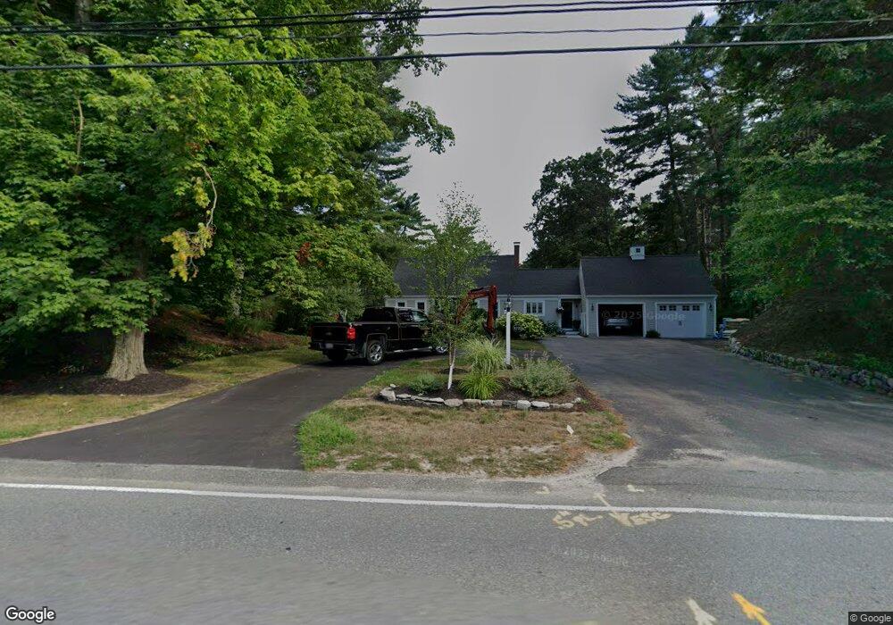
1270 Broadway Hanover, MA 02339
Estimated Value: $762,000 - $902,000
3
Beds
2
Baths
1,690
Sq Ft
$488/Sq Ft
Est. Value
About This Home
This home is located at 1270 Broadway, Hanover, MA 02339 and is currently estimated at $825,536, approximately $488 per square foot. 1270 Broadway is a home located in Plymouth County with nearby schools including Hanover High School, Cadence Academy Preschool - Hanover, and Cardinal Cushing Centers.
Ownership History
Date
Name
Owned For
Owner Type
Purchase Details
Closed on
Jul 25, 2005
Sold by
Underhill Jonathan K and Harris Jo Anne
Bought by
Stepanian Stephen M and Stepanian Deborah C
Current Estimated Value
Home Financials for this Owner
Home Financials are based on the most recent Mortgage that was taken out on this home.
Original Mortgage
$343,920
Interest Rate
5.59%
Mortgage Type
Purchase Money Mortgage
Purchase Details
Closed on
May 28, 1998
Sold by
Garvey Timothy A and Garvey Tracy L
Bought by
Harris Jo A and Underhill Jonathan K
Home Financials for this Owner
Home Financials are based on the most recent Mortgage that was taken out on this home.
Original Mortgage
$192,400
Interest Rate
7.12%
Mortgage Type
Purchase Money Mortgage
Purchase Details
Closed on
Jun 29, 1993
Sold by
Rockland Trust Co
Bought by
Garvey Timothy A and Garvey Tracy L
Create a Home Valuation Report for This Property
The Home Valuation Report is an in-depth analysis detailing your home's value as well as a comparison with similar homes in the area
Home Values in the Area
Average Home Value in this Area
Purchase History
| Date | Buyer | Sale Price | Title Company |
|---|---|---|---|
| Stepanian Stephen M | $429,900 | -- | |
| Harris Jo A | $240,500 | -- | |
| Garvey Timothy A | $160,000 | -- |
Source: Public Records
Mortgage History
| Date | Status | Borrower | Loan Amount |
|---|---|---|---|
| Open | Garvey Timothy A | $320,000 | |
| Closed | Garvey Timothy A | $343,920 | |
| Closed | Garvey Timothy A | $42,990 | |
| Previous Owner | Garvey Timothy A | $192,400 |
Source: Public Records
Tax History
| Year | Tax Paid | Tax Assessment Tax Assessment Total Assessment is a certain percentage of the fair market value that is determined by local assessors to be the total taxable value of land and additions on the property. | Land | Improvement |
|---|---|---|---|---|
| 2025 | $8,433 | $682,800 | $288,900 | $393,900 |
| 2024 | $7,401 | $576,400 | $288,900 | $287,500 |
| 2023 | $7,285 | $540,000 | $263,600 | $276,400 |
| 2022 | $7,724 | $506,500 | $263,600 | $242,900 |
| 2021 | $7,752 | $474,700 | $240,500 | $234,200 |
| 2020 | $7,677 | $470,700 | $240,500 | $230,200 |
| 2019 | $5,397 | $440,400 | $240,500 | $199,900 |
| 2018 | $7,106 | $436,500 | $240,500 | $196,000 |
| 2017 | $6,494 | $393,100 | $224,000 | $169,100 |
| 2016 | $6,363 | $377,400 | $204,400 | $173,000 |
| 2015 | $5,969 | $369,600 | $204,400 | $165,200 |
Source: Public Records
Map
Nearby Homes
- 108 Waterford Dr
- 430 Brook Bend Rd
- 339 State St
- 95 Tecumseh Dr
- 114 Graham Hill Dr
- 51 Cervelli Farm Dr
- 37 Dr
- 23 Cervelli Farm Dr
- 38 Cervelli Farm Dr
- 9 Cervelli Farm Dr
- 250 Center St
- 36 Grove St
- 139 Fairwood Dr
- 35 Sproul Rd
- 51 Farmside Dr
- 75 School St
- 70 Bardin St
- 561 Circuit St
- 7 Farmside Dr
- 26 Stonebridge Dr
Your Personal Tour Guide
Ask me questions while you tour the home.