1270 Cambridge Cir Williamston, MI 48895
Estimated Value: $433,154 - $488,000
4
Beds
3
Baths
2,400
Sq Ft
$195/Sq Ft
Est. Value
About This Home
This home is located at 1270 Cambridge Cir, Williamston, MI 48895 and is currently estimated at $468,039, approximately $195 per square foot. 1270 Cambridge Cir is a home located in Ingham County with nearby schools including Williamston Discovery Elementary School, Williamston Explorer Elementary School, and Williamston Middle School.
Ownership History
Date
Name
Owned For
Owner Type
Purchase Details
Closed on
Nov 11, 2010
Sold by
E L Holding Co Llc
Bought by
Lenkowski Jeff and Lenkowski Jill
Current Estimated Value
Home Financials for this Owner
Home Financials are based on the most recent Mortgage that was taken out on this home.
Original Mortgage
$201,829
Outstanding Balance
$133,164
Interest Rate
4.27%
Mortgage Type
FHA
Estimated Equity
$334,875
Purchase Details
Closed on
Aug 31, 2010
Sold by
Pleasant Meadows Development Llc
Bought by
E L Holding Co Llc
Create a Home Valuation Report for This Property
The Home Valuation Report is an in-depth analysis detailing your home's value as well as a comparison with similar homes in the area
Home Values in the Area
Average Home Value in this Area
Purchase History
| Date | Buyer | Sale Price | Title Company |
|---|---|---|---|
| Lenkowski Jeff | $23,625 | Bell Title Company | |
| E L Holding Co Llc | $23,625 | Bell Title Company |
Source: Public Records
Mortgage History
| Date | Status | Borrower | Loan Amount |
|---|---|---|---|
| Open | Lenkowski Jeff | $201,829 |
Source: Public Records
Tax History
| Year | Tax Paid | Tax Assessment Tax Assessment Total Assessment is a certain percentage of the fair market value that is determined by local assessors to be the total taxable value of land and additions on the property. | Land | Improvement |
|---|---|---|---|---|
| 2025 | $7,987 | $227,400 | $36,900 | $190,500 |
| 2024 | $7,478 | $206,100 | $40,900 | $165,200 |
| 2023 | $7,478 | $189,600 | $35,800 | $153,800 |
| 2022 | $7,116 | $174,700 | $40,200 | $134,500 |
| 2021 | $6,967 | $167,600 | $24,000 | $143,600 |
| 2020 | $6,759 | $159,500 | $24,000 | $135,500 |
| 2019 | $6,110 | $141,600 | $20,000 | $121,600 |
| 2018 | $6,001 | $130,900 | $20,000 | $110,900 |
| 2017 | $5,704 | $130,600 | $18,600 | $112,000 |
| 2016 | -- | $124,900 | $17,200 | $107,700 |
| 2015 | -- | $115,800 | $26,000 | $89,800 |
| 2014 | -- | $101,200 | $32,000 | $69,200 |
Source: Public Records
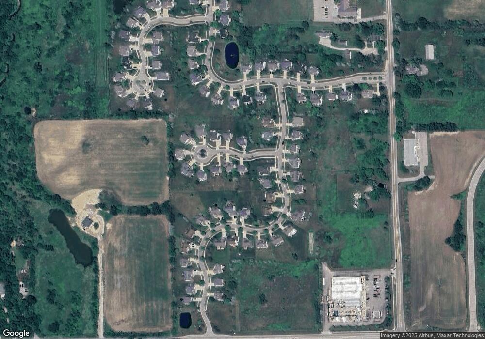
Map
Nearby Homes
- 945 Southfield Dr
- 710 Georgia St
- 1546 Nottingham Forest Trail #62 Trail
- 1542 Nottingham Forest Trail #64
- 407 S Cedar St
- 1552 Lytell Johnes Path
- 1530 Lytell Johne's Path #78
- 875 W Grand River Ave Unit 35
- 305 E Middle St
- 1532 Lytell Johne's Path #77
- 1544 Nottingham Forest Trail #63
- 718 W Grand River Ave
- 109 E Grand River Ave
- 211 Deep Lake Dr
- 2584 N Williamston Rd
- 111 Block St
- 976 Riverview Ct
- 425 N Putnam St
- 1825 Rowley Rd
- 0 Beechwood Dr
- 1274 Cambridge Cir
- 1255 Berkshire Dr
- 1251 Berkshire Dr
- 1278 Cambridge Cir
- 1247 Berkshire Dr
- 1239 Berkshire Dr
- 1235 Berkshire Dr
- 1231 Berkshire Dr
- 1269 Cambridge Cir
- 1263 Berkshire Dr
- 1277 Cambridge Cir
- 1267 Berkshire Dr
- 1252 Berkshire Dr
- 1256 Berkshire Dr
- 1227 Berkshire Dr
- 1286 Cambridge Cir
- 1248 Berkshire Dr
- 1260 Berkshire Dr
Your Personal Tour Guide
Ask me questions while you tour the home.