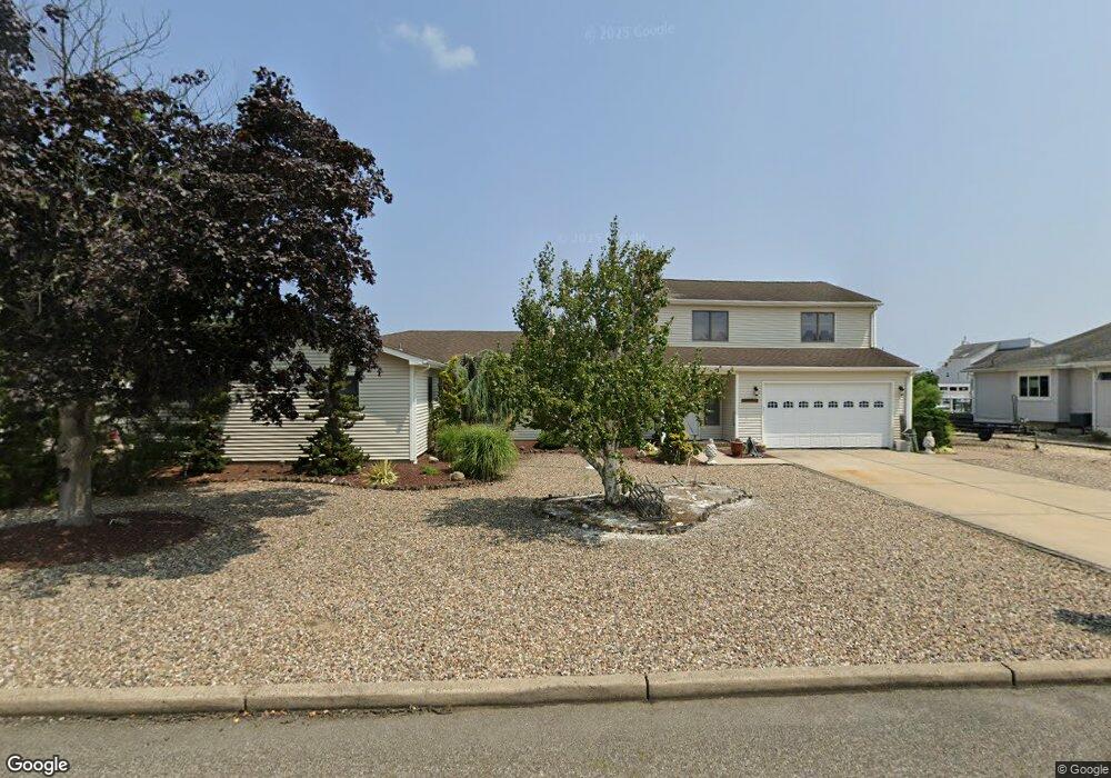
1270 Capstan Dr Forked River, NJ 08731
Estimated Value: $776,824 - $1,125,000
--
Bed
3
Baths
2,927
Sq Ft
$347/Sq Ft
Est. Value
About This Home
This home is located at 1270 Capstan Dr, Forked River, NJ 08731 and is currently estimated at $1,014,456, approximately $346 per square foot. 1270 Capstan Dr is a home located in Ocean County with nearby schools including Lacey Township High School.
Ownership History
Date
Name
Owned For
Owner Type
Purchase Details
Closed on
Feb 5, 2001
Sold by
Devine Lynne
Bought by
Tempera Gina
Current Estimated Value
Home Financials for this Owner
Home Financials are based on the most recent Mortgage that was taken out on this home.
Original Mortgage
$215,000
Outstanding Balance
$77,952
Interest Rate
7.13%
Estimated Equity
$936,504
Purchase Details
Closed on
Sep 9, 1998
Sold by
Devine Frederick W and Devine Lynne J
Bought by
Devine Lynne J
Create a Home Valuation Report for This Property
The Home Valuation Report is an in-depth analysis detailing your home's value as well as a comparison with similar homes in the area
Home Values in the Area
Average Home Value in this Area
Purchase History
| Date | Buyer | Sale Price | Title Company |
|---|---|---|---|
| Tempera Gina | $315,000 | -- | |
| Tempera Gina | $315,000 | -- | |
| Devine Lynne J | -- | -- |
Source: Public Records
Mortgage History
| Date | Status | Borrower | Loan Amount |
|---|---|---|---|
| Open | Tempera Gina | $215,000 | |
| Closed | Tempera Gina | $215,000 |
Source: Public Records
Tax History
| Year | Tax Paid | Tax Assessment Tax Assessment Total Assessment is a certain percentage of the fair market value that is determined by local assessors to be the total taxable value of land and additions on the property. | Land | Improvement |
|---|---|---|---|---|
| 2025 | $12,128 | $478,600 | $236,000 | $242,600 |
| 2024 | $11,338 | $478,600 | $236,000 | $242,600 |
Source: Public Records
Map
Nearby Homes
- 986 Capstan Dr
- 1025 Capstan Dr
- 814 Ensign Dr
- 0 Windward Dr Unit NJOC2039288
- 0 Windward Dr Unit 22601526
- 915 Shenandoah Dr
- 715 Richmond Dr
- 709 Richmond Dr
- 510 Conifer Dr
- 0 Union Ct Unit 22605987
- 1029 Bowsprit Point
- 606 Bowsprit Point
- 802 E Hickory Dr
- 330 Riviera Dr
- 826 Hazelton Ave
- 710 Hazelton Ave
- 821 Bunnell St
- 1001 Painter Point
- 416 Chestnut Dr
- 502 Teakwood Dr
- 1276 Capstan Dr
- 1268 Capstan Dr
- 1275 Capstan Dr
- 1279 Capstan Dr
- 1266 Capstan Dr
- 1283 Capstan Dr
- 1280 Capstan Dr
- 1220 Varuna Dr
- 1219 Varuna Dr
- 1273 Capstan Dr
- 1222 Varuna Dr
- 1285 Capstan Dr
- 1217 Varuna Dr
- 1223 Varuna Dr
- 1271 Capstan Dr
- 1262 Capstan Dr
- 1282 Capstan Dr
- 1216 Varuna Dr
- 1258 Capstan Dr
- 1231 Varuna Dr
Your Personal Tour Guide
Ask me questions while you tour the home.