1270 Coal Mine Way Cle Elum, WA 98922
Estimated Value: $1,559,462 - $1,968,000
4
Beds
3
Baths
2,820
Sq Ft
$606/Sq Ft
Est. Value
About This Home
This home is located at 1270 Coal Mine Way, Cle Elum, WA 98922 and is currently estimated at $1,710,116, approximately $606 per square foot. 1270 Coal Mine Way is a home located in Kittitas County with nearby schools including Cle Elum Roslyn Elementary School, Walter Strom Middle School, and Cle Elum Roslyn High School.
Ownership History
Date
Name
Owned For
Owner Type
Purchase Details
Closed on
Jan 15, 2015
Sold by
Chandler Homes Llc
Bought by
Putzke Mark and Putzke Sheri
Current Estimated Value
Purchase Details
Closed on
Feb 4, 2009
Sold by
Putzke Mark and Putzke Sheri
Bought by
Chandler Homes Llc
Home Financials for this Owner
Home Financials are based on the most recent Mortgage that was taken out on this home.
Original Mortgage
$380,000
Interest Rate
5.04%
Mortgage Type
Construction
Purchase Details
Closed on
Dec 27, 2006
Sold by
Suncadia Llc
Bought by
Putzke Mark and Putzke Sheri
Create a Home Valuation Report for This Property
The Home Valuation Report is an in-depth analysis detailing your home's value as well as a comparison with similar homes in the area
Home Values in the Area
Average Home Value in this Area
Purchase History
| Date | Buyer | Sale Price | Title Company |
|---|---|---|---|
| Putzke Mark | -- | Kittitas Title | |
| Chandler Homes Llc | -- | Stwt Title | |
| Putzke Mark | $320,000 | Amerititle |
Source: Public Records
Mortgage History
| Date | Status | Borrower | Loan Amount |
|---|---|---|---|
| Previous Owner | Chandler Homes Llc | $380,000 |
Source: Public Records
Tax History Compared to Growth
Tax History
| Year | Tax Paid | Tax Assessment Tax Assessment Total Assessment is a certain percentage of the fair market value that is determined by local assessors to be the total taxable value of land and additions on the property. | Land | Improvement |
|---|---|---|---|---|
| 2025 | $9,770 | $1,592,460 | $436,900 | $1,155,560 |
| 2023 | $9,770 | $1,460,780 | $405,200 | $1,055,580 |
| 2022 | $8,084 | $1,121,450 | $273,550 | $847,900 |
| 2021 | $7,651 | $1,011,970 | $200,050 | $811,920 |
| 2019 | $6,927 | $912,820 | $164,300 | $748,520 |
| 2018 | $5,641 | $704,520 | $108,370 | $596,150 |
| 2017 | $5,641 | $704,520 | $108,370 | $596,150 |
| 2016 | $5,659 | $704,520 | $108,370 | $596,150 |
| 2015 | $5,861 | $704,520 | $108,370 | $596,150 |
| 2013 | -- | $704,520 | $108,370 | $596,150 |
Source: Public Records
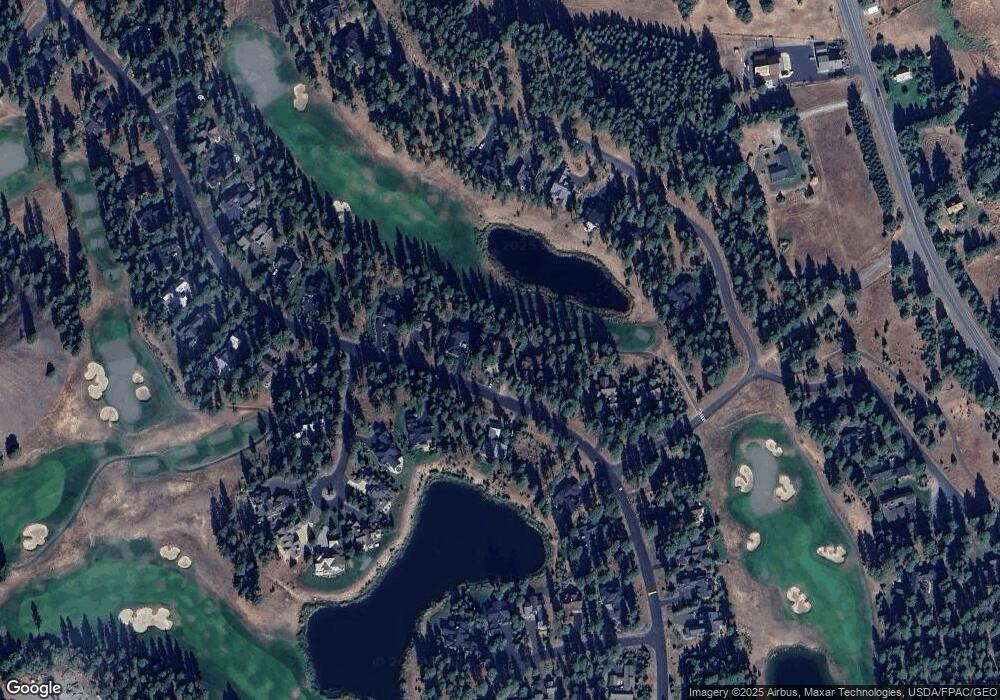
Map
Nearby Homes
- 1481 Coal Mine Way
- 950 Coal Mine Way
- 240 Monabel Ct
- 221 Tipple Hill Loop
- 301 Tipple Hill Loop
- 722 S A St
- 2040 Coal Mine Way
- 2101 Coal Mine Way
- 100 Black Nugget Ln
- 530 Spragger Way
- 610 Spragger Way
- 61 Equinox Dr
- 420 Black Nugget Ln
- 90 Portal Ct
- 206 W Montana Ave
- 31 Blackberry Ct
- 1060 Spragger Way
- 70 Thimbleberry Ct
- 110 Larkspur Loop
- 681 Maple Leaf Loop
- 1300 Coal Mine Way
- 1230 Coal Mine Way
- 1281 Coal Mine Way
- 1330 Coal Mine Way
- 1200 Coal Mine Way
- 1241 Coal Mine Way
- 1331 Coal Mine Way
- 1201 Coal Mine Way
- 1360 Coal Mine Way
- 1160 Coal Mine Way
- 60 Jellabel Ct
- 51 Steam Gin Loop
- 1141 Coal Mine Way
- 100 Jellabel Ct
- 31 Jellabel Ct
- 421 Steam Gin Loop
- 381 Steam Gin Loop
- 351 Steam Gin Loop
- 1420 Coal Mine Way
- 311 Steam Gin Loop