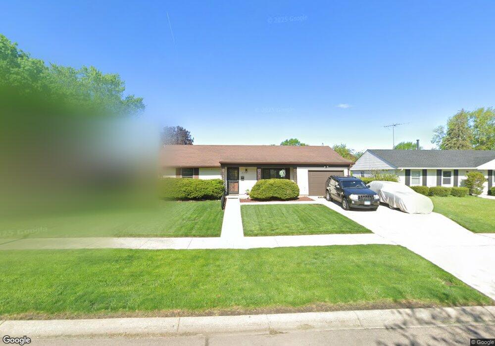
1270 Durham Dr Aurora, IL 60506
North River NeighborhoodEstimated Value: $259,765 - $279,000
3
Beds
1
Bath
1,184
Sq Ft
$230/Sq Ft
Est. Value
About This Home
This home is located at 1270 Durham Dr, Aurora, IL 60506 and is currently estimated at $271,941, approximately $229 per square foot. 1270 Durham Dr is a home located in Kane County with nearby schools including Smith Elementary School, Jewel Middle School, and West Aurora High School.
Ownership History
Date
Name
Owned For
Owner Type
Purchase Details
Closed on
Sep 30, 1997
Sold by
Ocon Aureliano
Bought by
Pryor Michael E
Current Estimated Value
Home Financials for this Owner
Home Financials are based on the most recent Mortgage that was taken out on this home.
Original Mortgage
$81,800
Outstanding Balance
$13,246
Interest Rate
7.54%
Mortgage Type
FHA
Estimated Equity
$258,695
Purchase Details
Closed on
Feb 28, 1995
Sold by
Lassiter Thomas F and Lassiter Lisa A
Bought by
Ocon Aureliano
Home Financials for this Owner
Home Financials are based on the most recent Mortgage that was taken out on this home.
Original Mortgage
$72,450
Interest Rate
9.12%
Create a Home Valuation Report for This Property
The Home Valuation Report is an in-depth analysis detailing your home's value as well as a comparison with similar homes in the area
Home Values in the Area
Average Home Value in this Area
Purchase History
| Date | Buyer | Sale Price | Title Company |
|---|---|---|---|
| Pryor Michael E | $41,333 | -- | |
| Ocon Aureliano | $80,500 | Law Title Ins Co Inc |
Source: Public Records
Mortgage History
| Date | Status | Borrower | Loan Amount |
|---|---|---|---|
| Open | Pryor Michael E | $81,800 | |
| Previous Owner | Ocon Aureliano | $72,450 |
Source: Public Records
Tax History
| Year | Tax Paid | Tax Assessment Tax Assessment Total Assessment is a certain percentage of the fair market value that is determined by local assessors to be the total taxable value of land and additions on the property. | Land | Improvement |
|---|---|---|---|---|
| 2024 | $4,751 | $68,006 | $15,912 | $52,094 |
| 2023 | $4,519 | $60,763 | $14,217 | $46,546 |
| 2022 | $4,376 | $55,441 | $12,972 | $42,469 |
| 2021 | $4,168 | $51,616 | $12,077 | $39,539 |
| 2020 | $4,400 | $53,000 | $11,218 | $41,782 |
| 2019 | $4,215 | $49,106 | $10,394 | $38,712 |
| 2018 | $3,892 | $44,986 | $9,614 | $35,372 |
| 2017 | $3,555 | $40,543 | $8,858 | $31,685 |
| 2016 | $3,413 | $38,125 | $7,593 | $30,532 |
| 2015 | -- | $33,127 | $6,529 | $26,598 |
| 2014 | -- | $31,860 | $6,279 | $25,581 |
| 2013 | -- | $32,340 | $6,190 | $26,150 |
Source: Public Records
Map
Nearby Homes
- 1080 Scarlet Oak Cir
- 847 Foran Ln
- 837 Taylor Ave
- 833 Sheldon Ave
- 461 Sullivan Rd
- 732 N Fordham Ave
- 1387 S Glen Cir Unit D
- 338 Lakelawn Blvd
- 833 N Randall Rd Unit C4
- 418 W Illinois Ave
- 1039 S Pleasure Ct
- 1061 S Pleasure Ct
- 603 N May St
- 424 N Lancaster Ave
- 519 N View St
- 991 Sapphire Ln
- 959 Sapphire Ln
- 975 Sapphire Ln
- 963 Sapphire Ln
- 987 Sapphire Ln
- 1280 Durham Dr
- 1250 Durham Dr
- 1290 Durham Dr
- 1257 Post Rd
- 861 Southbridge Dr
- 1251 Post Rd
- 1265 Post Rd
- 1300 Durham Dr
- 1271 Durham Dr Unit 1
- 1241 Post Rd
- 830 Huntington Dr
- 1261 Durham Dr
- 1275 Post Rd
- 1241 Durham Dr
- 342 Durham Dr
- 348 Durham Dr
- 1310 Durham Dr
- 1231 Morton Ave
- 1285 Post Rd
- 835 Huntington Dr
Your Personal Tour Guide
Ask me questions while you tour the home.