1270 E Packard Dr Eagle Mountain, UT 84005
Estimated Value: $495,000 - $510,000
4
Beds
3
Baths
2,140
Sq Ft
$235/Sq Ft
Est. Value
About This Home
This home is located at 1270 E Packard Dr, Eagle Mountain, UT 84005 and is currently estimated at $502,889, approximately $234 per square foot. 1270 E Packard Dr is a home with nearby schools including Frontier Middle School, Cedar Valley High, and Ranches Academy.
Ownership History
Date
Name
Owned For
Owner Type
Purchase Details
Closed on
Apr 12, 2024
Sold by
Uwhumiakpo Blessing and Nwigbarane Nekabari Better
Bought by
Vnrq Llc
Current Estimated Value
Purchase Details
Closed on
Feb 28, 2022
Sold by
Ivory Homes Ltd
Bought by
Uwhumiakpo Blessing and Nwigbarane Nekabari Better
Create a Home Valuation Report for This Property
The Home Valuation Report is an in-depth analysis detailing your home's value as well as a comparison with similar homes in the area
Home Values in the Area
Average Home Value in this Area
Purchase History
| Date | Buyer | Sale Price | Title Company |
|---|---|---|---|
| Vnrq Llc | -- | Cottonwood Title | |
| Uwhumiakpo Blessing | -- | Cottonwood Title |
Source: Public Records
Mortgage History
| Date | Status | Borrower | Loan Amount |
|---|---|---|---|
| Closed | Uwhumiakpo Blessing | $0 |
Source: Public Records
Tax History
| Year | Tax Paid | Tax Assessment Tax Assessment Total Assessment is a certain percentage of the fair market value that is determined by local assessors to be the total taxable value of land and additions on the property. | Land | Improvement |
|---|---|---|---|---|
| 2025 | $2,369 | $263,065 | -- | -- |
| 2024 | $2,369 | $255,970 | $0 | $0 |
| 2023 | $2,289 | $267,135 | $0 | $0 |
| 2022 | $1,842 | $209,935 | $0 | $0 |
| 2021 | $1,104 | $103,900 | $103,900 | $0 |
Source: Public Records
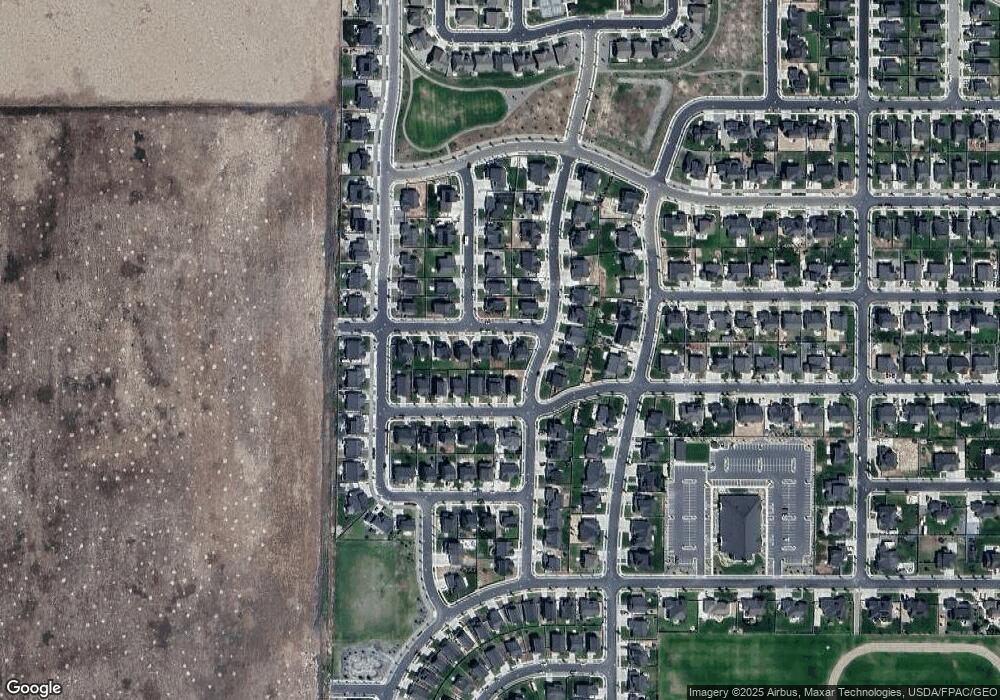
Map
Nearby Homes
- 1395 E Kelsey Dr
- 1416 E Erickson Knoll Ln
- 1258 E Sheps Ridge Rd
- 1327 E White Rock Rd
- 6166 N Black Rock Hill
- 1502 E Lowe Peak Dr
- 6587 N Bald Knoll
- 6597 N Bald Knoll
- 6548 N Fiona St
- 6637 N Bald Knoll
- 6647 N Bald Knoll
- 1325 E Desert Peak
- 6747 N Desert Creek
- 6754 N Desert Creek
- 6797 N Desert Creek
- 6806 N Desert Creek
- 1782 E Kern Mountain
- 1822 E Kern Mountain
- 1832 E Kern Mountain
- 6767 N Star Lake Dr
- 1284 E Packard Dr
- 1260 E Packard Dr
- 1269 E Kelsey Dr
- 1248 E Packard Dr
- 1279 E Kelsey Dr
- 1259 E Kelsey Dr
- 6392 N Pine Tree Way
- 6391 N Wanlass Hill
- 1249 E Kelsey Dr
- 1240 E Packard Dr
- 6402 N Pine Tree Way
- 1237 E Kelsey Dr
- 6366 N Wanlass Hill
- 6352 N Wanlass Hill
- 6403 N Wanlass Hill
- 6376 N Wanlass Hill
- 6393 N Pine Tree Way
- 1226 E Packard Dr
- 1274 E Kelsey Dr
- 6386 N Wanlass Hill
Your Personal Tour Guide
Ask me questions while you tour the home.