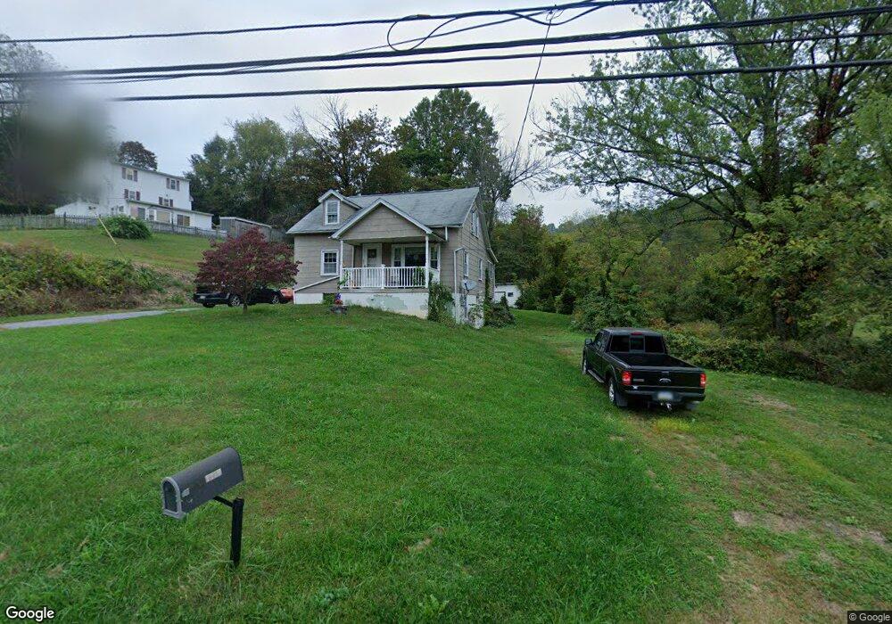
1270 Ironstone Dr Boyertown, PA 19512
Estimated Value: $216,000 - $307,000
4
Beds
1
Bath
1,222
Sq Ft
$223/Sq Ft
Est. Value
About This Home
This home is located at 1270 Ironstone Dr, Boyertown, PA 19512 and is currently estimated at $272,258, approximately $222 per square foot. 1270 Ironstone Dr is a home located in Berks County with nearby schools including Boyertown Area Senior High School.
Ownership History
Date
Name
Owned For
Owner Type
Purchase Details
Closed on
Jan 19, 2007
Sold by
Staub Joanne
Bought by
Staub Lawrence H and Staub Joanne
Current Estimated Value
Home Financials for this Owner
Home Financials are based on the most recent Mortgage that was taken out on this home.
Original Mortgage
$75,000
Interest Rate
6.22%
Mortgage Type
Credit Line Revolving
Create a Home Valuation Report for This Property
The Home Valuation Report is an in-depth analysis detailing your home's value as well as a comparison with similar homes in the area
Home Values in the Area
Average Home Value in this Area
Purchase History
| Date | Buyer | Sale Price | Title Company |
|---|---|---|---|
| Staub Lawrence H | $115,000 | None Available |
Source: Public Records
Mortgage History
| Date | Status | Borrower | Loan Amount |
|---|---|---|---|
| Closed | Staub Lawrence H | $75,000 |
Source: Public Records
Tax History Compared to Growth
Tax History
| Year | Tax Paid | Tax Assessment Tax Assessment Total Assessment is a certain percentage of the fair market value that is determined by local assessors to be the total taxable value of land and additions on the property. | Land | Improvement |
|---|---|---|---|---|
| 2025 | $760 | $84,300 | $43,400 | $40,900 |
| 2024 | $3,301 | $84,300 | $43,400 | $40,900 |
| 2023 | $3,167 | $84,300 | $43,400 | $40,900 |
| 2022 | $3,094 | $84,300 | $43,400 | $40,900 |
| 2021 | $3,023 | $84,300 | $43,400 | $40,900 |
| 2020 | $2,949 | $84,300 | $43,400 | $40,900 |
| 2019 | $2,868 | $84,300 | $43,400 | $40,900 |
| 2018 | $2,755 | $84,300 | $43,400 | $40,900 |
| 2017 | $2,667 | $84,300 | $43,400 | $40,900 |
| 2016 | $609 | $84,300 | $43,400 | $40,900 |
| 2015 | $609 | $84,300 | $43,400 | $40,900 |
| 2014 | $609 | $84,300 | $43,400 | $40,900 |
Source: Public Records
Map
Nearby Homes
- 16 Kristine Ave
- 84 Sunset Hill Rd
- 190 Red Oak Dr
- 12 Lehland Dr
- 483 Water St
- 0 Rte 73 Unit PABK2041020
- 24 Alans Ln
- 280 Indian Ln
- 454 Landis Store Rd
- 454 Landis Rd
- 2131 Weisstown Rd
- 1028 Weisstown Rd
- 201 Henry Ave
- 24 Cherry St
- 119 Schaeffer St
- 100 College St
- 332 S Reading Ave
- 151 S Reading Ave
- 0 W Philadelphia Ave
- 1041 Reading Ave
- 1260 Ironstone Dr
- 3 Koch Rd
- 7 Koch Rd
- 175 Terrace Rd
- 1258 Ironstone Dr
- 171 Terrace Rd
- 1255 Ironstone Dr
- 169 Terrace Rd
- 167 Terrace Rd
- 1285 Ironstone Dr
- 1285 N Ironstone Dr
- 1225 Ironstone Dr
- 1473 W Philadelphia Ave
- 1478 W Philadelphia Ave
- 39 Koch Rd
- 10 Koch Rd
- 21 Sunset Hill Rd
- 24 Koch Rd
- 1300 Ironstone Dr
- 164 Terrace Rd