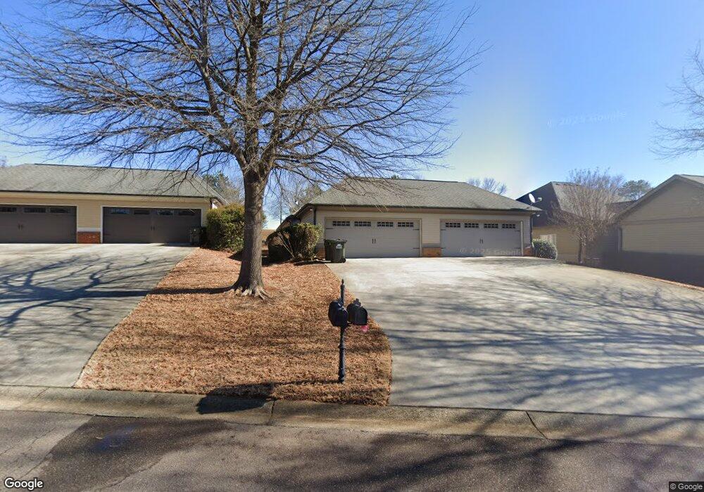
1270 Lenru Rd Bogart, GA 30622
Estimated Value: $1,047,000 - $1,515,211
--
Bed
--
Bath
4,265
Sq Ft
$286/Sq Ft
Est. Value
About This Home
This home is located at 1270 Lenru Rd, Bogart, GA 30622 and is currently estimated at $1,219,404, approximately $285 per square foot. 1270 Lenru Rd is a home with nearby schools including Malcom Bridge Elementary School, Malcom Bridge Middle School, and North Oconee High School.
Ownership History
Date
Name
Owned For
Owner Type
Purchase Details
Closed on
Aug 7, 2019
Sold by
Garrett Angela Haagen
Bought by
Garrett Angela Haagen and Garrett Richard H
Current Estimated Value
Purchase Details
Closed on
May 26, 2017
Sold by
Richard H
Bought by
Charlies Dark Corner Llc
Purchase Details
Closed on
Sep 11, 2008
Sold by
Not Provided
Bought by
Haagen Garrett Richard H and Haagen Garrett Angela
Create a Home Valuation Report for This Property
The Home Valuation Report is an in-depth analysis detailing your home's value as well as a comparison with similar homes in the area
Home Values in the Area
Average Home Value in this Area
Purchase History
| Date | Buyer | Sale Price | Title Company |
|---|---|---|---|
| Garrett Angela Haagen | -- | -- | |
| Garrett Angela Haagen | -- | -- | |
| Charlies Dark Corner Llc | -- | -- | |
| Haagen Garrett Richard H | -- | -- |
Source: Public Records
Tax History Compared to Growth
Tax History
| Year | Tax Paid | Tax Assessment Tax Assessment Total Assessment is a certain percentage of the fair market value that is determined by local assessors to be the total taxable value of land and additions on the property. | Land | Improvement |
|---|---|---|---|---|
| 2024 | $9,653 | $472,849 | $143,023 | $329,826 |
| 2023 | $8,835 | $435,084 | $119,776 | $315,308 |
| 2022 | $8,310 | $387,351 | $108,888 | $278,463 |
| 2021 | $7,940 | $342,989 | $85,739 | $257,250 |
| 2020 | $7,368 | $317,786 | $70,278 | $247,508 |
| 2019 | $6,966 | $300,442 | $70,278 | $230,164 |
| 2018 | $5,414 | $296,008 | $70,278 | $225,730 |
| 2017 | $5,412 | $292,661 | $66,931 | $225,730 |
| 2016 | $5,352 | $284,865 | $61,574 | $223,291 |
| 2015 | $5,340 | $283,944 | $61,574 | $222,371 |
| 2014 | $5,306 | $264,189 | $48,233 | $215,956 |
| 2013 | -- | $264,293 | $54,716 | $209,577 |
Source: Public Records
Map
Nearby Homes
- 1021 Bedford Trail
- 3164 Malcom Estates Dr
- 1105 Harperfield Dr
- 2165 Harperfield Dr
- 6601 Hog Mountain Hwy - Hwy 53 Unit PARCEL B
- 1081 Julian Dr Unit 4
- 1081 Julian Dr
- 1479 Mcfall Ct
- 1020 Timber Ridge Rd
- 1216 Rays River Run
- 1010 Garland Dr
- 0 Us 78 Hwy
- 1 Us 78 Hwy
- 0 Whitehead Rd Unit CL335631
- 0 Whitehead Rd Unit 10574962
- 1100 Manjula Ln
- 1175 Manjula Ln
- 1300 Manjula Ln
- 0 Julian Dr Unit 10476456
- 1010 Oaklake Terrace
- 1801 Bedford Trail
- 1061 Middleton Ln
- 1131 Middleton Ln
- 1121 Middleton Ln
- 1291 Lenru Rd
- 1220 Livingston Trail Unit 10
- 1220 Livingston Trail
- 1230 Livingston Trail
- 1210 Livingston Trail
- 1240 Livingston Trail
- 1200 Livingston Trail
- 1261 Lenru Rd
- 1140 Middleton Ln
- 1190 Livingston Trail
- 1250 Livingston Trail
- 1130 Middleton Ln
- 1303 Lenru Rd
- 1180 Livingston Trail
- 1120 Middleton Ln
- 1110 Middleton Ln