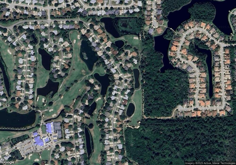
1270 Mayflower Ave Melbourne, FL 32940
Estimated Value: $366,000 - $387,000
3
Beds
2
Baths
2,339
Sq Ft
$160/Sq Ft
Est. Value
About This Home
This home is located at 1270 Mayflower Ave, Melbourne, FL 32940 and is currently estimated at $375,166, approximately $160 per square foot. 1270 Mayflower Ave is a home located in Brevard County with nearby schools including Quest Elementary School, John F. Kennedy Middle School, and Pinecrest Academy Space Coast.
Ownership History
Date
Name
Owned For
Owner Type
Purchase Details
Closed on
Feb 15, 2011
Sold by
Bickmore Albert H and Bickmore Judith
Bought by
Rlt Albert and Rlt Judith Bickmore
Current Estimated Value
Purchase Details
Closed on
Sep 13, 1994
Sold by
Burrus George J and Burrus Mary J
Bought by
Suojanen Waino W and Suojanen Doris G
Home Financials for this Owner
Home Financials are based on the most recent Mortgage that was taken out on this home.
Original Mortgage
$45,000
Interest Rate
8.37%
Create a Home Valuation Report for This Property
The Home Valuation Report is an in-depth analysis detailing your home's value as well as a comparison with similar homes in the area
Home Values in the Area
Average Home Value in this Area
Purchase History
| Date | Buyer | Sale Price | Title Company |
|---|---|---|---|
| Rlt Albert | -- | Attorney | |
| Suojanen Waino W | $146,200 | -- |
Source: Public Records
Mortgage History
| Date | Status | Borrower | Loan Amount |
|---|---|---|---|
| Previous Owner | Suojanen Waino W | $45,000 |
Source: Public Records
Tax History
| Year | Tax Paid | Tax Assessment Tax Assessment Total Assessment is a certain percentage of the fair market value that is determined by local assessors to be the total taxable value of land and additions on the property. | Land | Improvement |
|---|---|---|---|---|
| 2025 | $1,677 | $119,950 | -- | -- |
| 2024 | $1,633 | $116,570 | -- | -- |
| 2023 | $1,633 | $113,180 | $0 | $0 |
| 2022 | $1,519 | $109,890 | $0 | $0 |
| 2021 | $1,532 | $106,690 | $0 | $0 |
| 2020 | $1,443 | $105,220 | $0 | $0 |
| 2019 | $1,379 | $102,860 | $0 | $0 |
| 2018 | $1,369 | $100,950 | $0 | $0 |
| 2017 | $1,359 | $98,880 | $0 | $0 |
| 2016 | $1,366 | $96,850 | $23,000 | $73,850 |
| 2015 | $1,394 | $96,180 | $23,000 | $73,180 |
| 2014 | $1,397 | $95,420 | $18,000 | $77,420 |
Source: Public Records
Map
Nearby Homes
- 1290 Mayflower Ave
- 1355 Mayflower Ave
- 1375 Mayflower Ave
- 1144 Ironsides Ave
- 1340 Democracy Ave
- 1579 Independence Ave
- 1551 Independence Ave
- 1332 Pilgrim Ave
- 1605 Freedom Dr
- 1203 Tralee Bay Ave
- 1531 Independence Ave
- 1162 Tralee Bay Ave
- 1664 Boca Rio Dr
- 1453 Patriot Dr
- 1329 Independence Ave
- 1652 Independence Ave
- 1444 Patriot Dr
- 1545 Boca Rio Dr
- 1440 Patriot Dr
- 1484 Independence Ave
- 1260 Mayflower Ave
- 1250 Mayflower Ave
- 1275 Mayflower Ave Unit 1
- 1265 Mayflower Ave Unit 1
- 1285 Mayflower Ave
- 1255 Mayflower Ave
- 1435 Kitty Hawk Way
- 1240 Mayflower Ave
- 1310 Mayflower Ave
- 1425 Kitty Hawk Way
- 1235 Mayflower Ave
- 1230 Mayflower Ave
- 1320 Mayflower Ave
- 1315 Mayflower Ave
- 1225 Mayflower Ave
- 1193 Ironsides Ave
- 1415 Kitty Hawk Way
- 1177 Ironsides Ave
- 1220 Mayflower Ave
- 1420 Kitty Hawk Way
