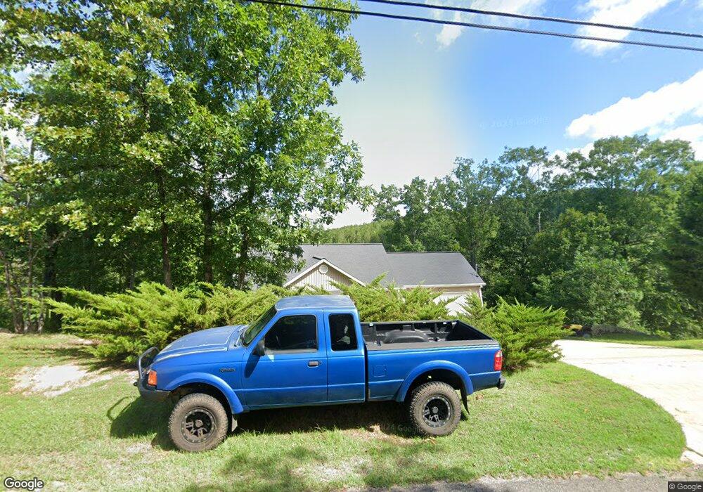
1270 Mohawk Cliff Rd Ohatchee, AL 36271
Estimated Value: $305,000 - $392,000
3
Beds
3
Baths
2,592
Sq Ft
$133/Sq Ft
Est. Value
About This Home
This home is located at 1270 Mohawk Cliff Rd, Ohatchee, AL 36271 and is currently estimated at $345,961, approximately $133 per square foot. 1270 Mohawk Cliff Rd is a home located in Calhoun County with nearby schools including Ohatchee Elementary School and Ohatchee High School.
Ownership History
Date
Name
Owned For
Owner Type
Purchase Details
Closed on
Sep 6, 2016
Bought by
Choi Woong
Current Estimated Value
Home Financials for this Owner
Home Financials are based on the most recent Mortgage that was taken out on this home.
Original Mortgage
$173,000
Outstanding Balance
$137,569
Interest Rate
3.46%
Estimated Equity
$208,392
Purchase Details
Closed on
Jul 29, 2016
Sold by
B & F Investments Llc
Bought by
Choi Woong
Home Financials for this Owner
Home Financials are based on the most recent Mortgage that was taken out on this home.
Original Mortgage
$173,000
Outstanding Balance
$137,569
Interest Rate
3.46%
Estimated Equity
$208,392
Create a Home Valuation Report for This Property
The Home Valuation Report is an in-depth analysis detailing your home's value as well as a comparison with similar homes in the area
Home Values in the Area
Average Home Value in this Area
Purchase History
| Date | Buyer | Sale Price | Title Company |
|---|---|---|---|
| Choi Woong | -- | -- | |
| Choi Woong | $173,950 | -- |
Source: Public Records
Mortgage History
| Date | Status | Borrower | Loan Amount |
|---|---|---|---|
| Open | Choi Woong | $173,000 | |
| Closed | Choi Woong | -- | |
| Closed | Choi Woong | $173,950 |
Source: Public Records
Tax History Compared to Growth
Tax History
| Year | Tax Paid | Tax Assessment Tax Assessment Total Assessment is a certain percentage of the fair market value that is determined by local assessors to be the total taxable value of land and additions on the property. | Land | Improvement |
|---|---|---|---|---|
| 2025 | $1,054 | $25,120 | $0 | $0 |
| 2024 | $1,054 | $25,352 | $4,050 | $21,302 |
| 2023 | $1,065 | $27,792 | $4,050 | $23,742 |
| 2022 | $1,207 | $28,584 | $4,050 | $24,534 |
| 2021 | $965 | $23,088 | $4,050 | $19,038 |
| 2020 | $965 | $23,088 | $4,050 | $19,038 |
| 2019 | $965 | $24,112 | $4,050 | $20,062 |
| 2018 | $1,010 | $24,120 | $0 | $0 |
| 2017 | $934 | $21,220 | $0 | $0 |
| 2016 | $883 | $21,220 | $0 | $0 |
| 2013 | -- | $42,780 | $0 | $0 |
Source: Public Records
Map
Nearby Homes
- Lot 19 Mohawk Cliff Rd
- 2660 Nan Ye'Hi Dr Unit 12
- 1595 Mohawk Cliff Rd
- 2705 Nanyehi Dr
- 0 Mohawk Bluff Dr Unit 21437021
- 102 Boulder Point Ln Unit 6 & 7
- 268 Boulder Point Ln
- 160 Mohawk Trail
- 497 Lakeshore Dr
- 139 Colvard Dr
- 0 Cochran Springs Rd Unit 3.66 ac.
- 2660 Waldrop Rd
- 650 Sagebrush Rd
- 0 Alabama Highway 77 Unit 42 Acres 21413831
- 150 Arthur Dr
- 0 Gibson Cove Dr Unit 24712719
- 0 Gibson Cove Dr Unit 24700177
- 0 Gibson Cove Dr Unit 7.10 Acres Plus . 58
- 0 Gibson Cove Dr Unit 3 Acres 21430812
- 0 Shoal Creek Rd Unit 24758338
- 1298 Mohawk Cliff Rd
- 1281 Mohawk Cliff Rd
- 1348 Mohawk Cliff Rd
- 1438 Mohawk Cliff Rd
- 1368 Mohawk Cliff Rd
- 1121 Mohawk Cliff Rd
- 1418 Mohawk Cliff Rd
- 13 Mohawk Cliff Rd
- 2156 Nanyehi Dr
- 1441 Mohawk Cliff Rd
- 00 Mohawk Cliff Rd Unit 13
- 0 Mohawk Cliff Rd Unit 1085595
- 1500 Mohawk Cliff Rd
- 1254 Mohawk Bluff Dr
- 0 Mohawk Cliff Rd Unit 1 828671
- 0 Mohawk Cliff Rd Unit 1087103
- 0 Mohawk Cliff Rd Unit 378107
- 0 Mohawk Cliff Rd Unit 5.31 AC 633491
- 0 Mohawk Cliff Rd Unit 886545
- 0 Mohawk Cliff Rd Unit 376913
