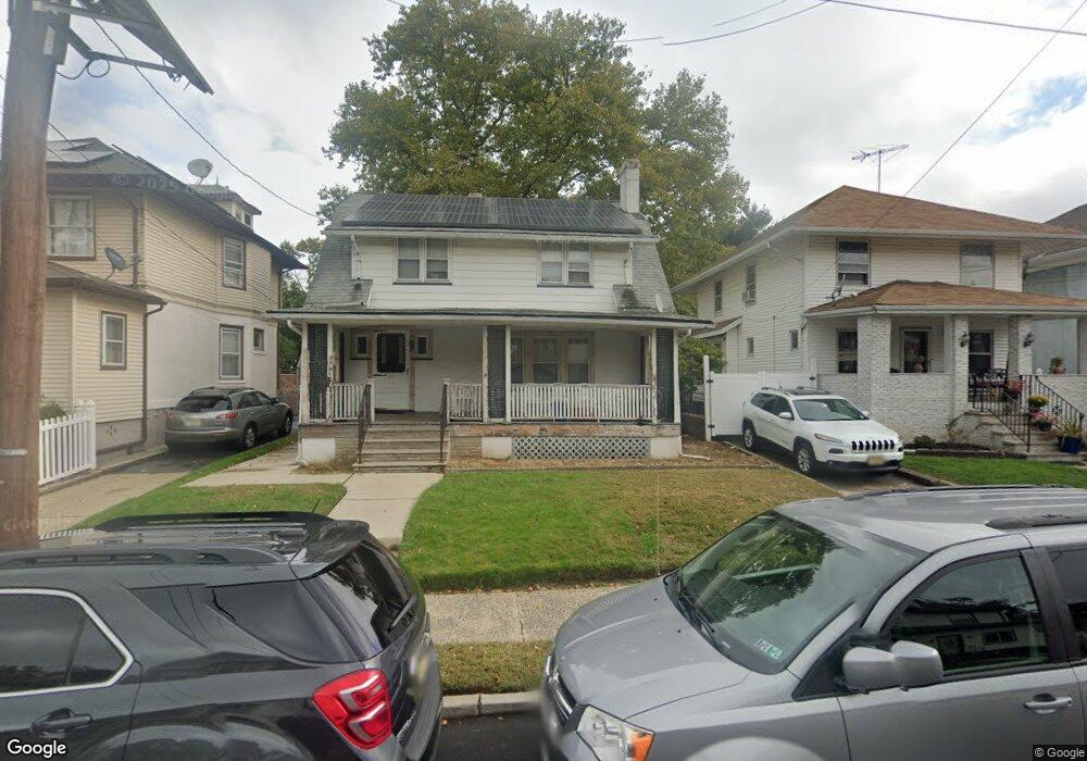
1270 N Broad St Unit 1C Hillside, NJ 07205
Westminster NeighborhoodEstimated Value: $271,000 - $320,000
Studio
--
Bath
1,005
Sq Ft
$293/Sq Ft
Est. Value
About This Home
This home is located at 1270 N Broad St Unit 1C, Hillside, NJ 07205 and is currently estimated at $294,745, approximately $293 per square foot. 1270 N Broad St Unit 1C is a home located in Union County with nearby schools including Abram P. Morris-Saybrook Elementary School, Hurden Looker School, and Ola Edwards Community School.
Ownership History
Date
Name
Owned For
Owner Type
Purchase Details
Closed on
Mar 21, 2024
Sold by
Boachat Decio and Boechat Decio
Bought by
Gus Properties Llc
Current Estimated Value
Purchase Details
Closed on
Nov 2, 2016
Sold by
Rkl Financial Crop
Bought by
Moura Boechat Decio and Moura Boechat Marcia
Purchase Details
Closed on
Aug 12, 2014
Sold by
Irving Alexis D
Bought by
Rkl Financial Corp and Slm Financial Corp
Purchase Details
Closed on
Feb 20, 2013
Sold by
Froehlich Ralph
Bought by
North Broad Street Condominium Assoc
Create a Home Valuation Report for This Property
The Home Valuation Report is an in-depth analysis detailing your home's value as well as a comparison with similar homes in the area
Home Values in the Area
Average Home Value in this Area
Purchase History
| Date | Buyer | Sale Price | Title Company |
|---|---|---|---|
| Gus Properties Llc | $280,000 | First American Title | |
| Moura Boechat Decio | $85,000 | Guardian Title Services Llc | |
| Rkl Financial Corp | $51,000 | Regional Title Agency Llc | |
| North Broad Street Condominium Assoc | -- | None Available |
Source: Public Records
Tax History
| Year | Tax Paid | Tax Assessment Tax Assessment Total Assessment is a certain percentage of the fair market value that is determined by local assessors to be the total taxable value of land and additions on the property. | Land | Improvement |
|---|---|---|---|---|
| 2025 | $4,308 | $52,200 | $10,000 | $42,200 |
| 2024 | $4,183 | $52,200 | $10,000 | $42,200 |
| 2023 | $4,183 | $52,200 | $10,000 | $42,200 |
| 2022 | $4,144 | $52,200 | $10,000 | $42,200 |
| 2021 | $4,117 | $52,200 | $10,000 | $42,200 |
| 2020 | $4,093 | $52,200 | $10,000 | $42,200 |
| 2019 | $4,014 | $52,200 | $10,000 | $42,200 |
| 2018 | $3,973 | $52,200 | $10,000 | $42,200 |
| 2017 | $3,949 | $52,200 | $10,000 | $42,200 |
| 2016 | $3,945 | $52,200 | $10,000 | $42,200 |
| 2015 | $3,910 | $52,200 | $10,000 | $42,200 |
| 2014 | -- | $52,200 | $10,000 | $42,200 |
Source: Public Records
Map
Nearby Homes
- 24 Hollywood Ave
- 1250 N Broad St Unit A1
- 1229 Robert St
- 1204 Salem Ave
- 1200 Salem Ave
- 75 Hillside Ave
- 137 Fairbanks St
- 1444 N Broad St
- 161 Virginia St
- 1504 Munn Ave
- 124 Woodruff Place
- 1408 Lexington Place Unit 1410
- 345 Sanford Ave
- 1406 Maple Ave
- 1018 John Glenn Dr
- 1318 State St
- 1437 Parkview Terrace
- 1379 Garfield Place
- 1038 Fairview Place
- 1414 Boa Place Unit 2
- 1270 N Broad St Unit 3A
- 1270 N Broad St Unit 2A
- 1270 N Broad St Unit 2B
- 1270 N Broad St Unit 2D
- 1270 N Broad St Unit 3C
- 1270 N Broad St Unit 1A
- 1270 N Broad St Unit 3D
- 1270 N Broad St Unit 3B
- 1270 N Broad St Unit 1D
- 1270 N Broad St Unit 1B
- 1270 N Broad St
- 1264 N Broad St
- 1273 Robert St
- 1277 Robert St
- 1269 Robert St
- 1279 Robert St
- 1265 Robert St
- 1265 Robert St Unit 2
- 1278 N Broad St
- 1283 Robert St
Your Personal Tour Guide
Ask me questions while you tour the home.