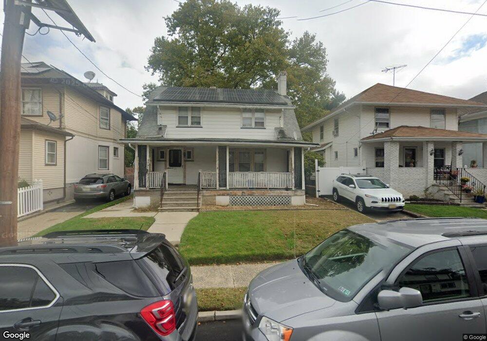
1270 N Broad St Unit 2D Hillside, NJ 07205
Westminster NeighborhoodEstimated Value: $228,041 - $334,000
--
Bed
--
Bath
1,005
Sq Ft
$283/Sq Ft
Est. Value
About This Home
This home is located at 1270 N Broad St Unit 2D, Hillside, NJ 07205 and is currently estimated at $284,014, approximately $282 per square foot. 1270 N Broad St Unit 2D is a home located in Union County with nearby schools including Abram P. Morris-Saybrook Elementary School, Hurden Looker School, and Ola Edwards Community School.
Ownership History
Date
Name
Owned For
Owner Type
Purchase Details
Closed on
Nov 2, 1995
Sold by
Security National Partners Ltd Prtnrshp
Bought by
Akins Lamont
Current Estimated Value
Purchase Details
Closed on
Sep 25, 1995
Sold by
Security National Partners Ltd Prtnrshp
Bought by
Security National Partners Ltd Prtnrshp and Mtglq Investors Lp
Purchase Details
Closed on
May 24, 1995
Sold by
Constellation Bank Na
Bought by
Security National Partners Ltd Prtnrshp
Purchase Details
Closed on
Dec 21, 1994
Sold by
Froehlich Ralph
Bought by
Constellation Bank Na
Create a Home Valuation Report for This Property
The Home Valuation Report is an in-depth analysis detailing your home's value as well as a comparison with similar homes in the area
Home Values in the Area
Average Home Value in this Area
Purchase History
| Date | Buyer | Sale Price | Title Company |
|---|---|---|---|
| Akins Lamont | $58,000 | Eagle Title Agency Inc | |
| Security National Partners Ltd Prtnrshp | $19,656 | -- | |
| Security National Partners Ltd Prtnrshp | $39,312 | -- | |
| Constellation Bank Na | -- | -- |
Source: Public Records
Tax History Compared to Growth
Tax History
| Year | Tax Paid | Tax Assessment Tax Assessment Total Assessment is a certain percentage of the fair market value that is determined by local assessors to be the total taxable value of land and additions on the property. | Land | Improvement |
|---|---|---|---|---|
| 2025 | $4,308 | $52,200 | $10,000 | $42,200 |
| 2024 | $4,183 | $52,200 | $10,000 | $42,200 |
| 2023 | $4,183 | $52,200 | $10,000 | $42,200 |
| 2022 | $4,144 | $52,200 | $10,000 | $42,200 |
| 2021 | $4,117 | $52,200 | $10,000 | $42,200 |
| 2020 | $4,093 | $52,200 | $10,000 | $42,200 |
| 2019 | $4,014 | $52,200 | $10,000 | $42,200 |
| 2018 | $3,973 | $52,200 | $10,000 | $42,200 |
| 2017 | $3,949 | $52,200 | $10,000 | $42,200 |
| 2016 | $3,945 | $52,200 | $10,000 | $42,200 |
| 2015 | $3,910 | $52,200 | $10,000 | $42,200 |
| 2014 | $3,848 | $52,200 | $10,000 | $42,200 |
Source: Public Records
Map
Nearby Homes
- 1141 Church St
- 1444 N Broad St
- 124 Woodruff Place
- 1432 Lexington Place Unit 1434
- 1408 Lexington Place Unit 1410
- 1451 Bond St
- 1379 Garfield Place
- 1473 Center St
- 1290 Baker St
- 1282 Baker St
- 1406 Maple Ave
- 155 Silver Ave
- 1414 Boa Place Unit 2
- 170 Windsor Way
- 149 Baltimore Ave
- 420 Hollywood Ave
- 146 Williamson Ave
- 904 Cross Ave
- 36 Hansbury Ave Unit 38
- 383 Conant St
- 1270 N Broad St Unit 3A
- 1270 N Broad St Unit 2A
- 1270 N Broad St Unit 2B
- 1270 N Broad St Unit 3C
- 1270 N Broad St Unit 1A
- 1270 N Broad St Unit 3D
- 1270 N Broad St Unit 3B
- 1270 N Broad St Unit 1D
- 1270 N Broad St Unit 1C
- 1270 N Broad St Unit 1B
- 1270 N Broad St
- 1264 N Broad St
- 1273 Robert St
- 1277 Robert St
- 1269 Robert St
- 1279 Robert St
- 1265 Robert St
- 1265 Robert St Unit 2
- 1278 N Broad St
- 1283 Robert St