1270 Pearl St W Tillamook, OR 97141
Estimated Value: $361,000 - $429,000
2
Beds
1
Bath
594
Sq Ft
$665/Sq Ft
Est. Value
About This Home
This home is located at 1270 Pearl St W, Tillamook, OR 97141 and is currently estimated at $395,078, approximately $665 per square foot. 1270 Pearl St W is a home located in Tillamook County with nearby schools including Tillamook High School.
Ownership History
Date
Name
Owned For
Owner Type
Purchase Details
Closed on
Jun 17, 2005
Sold by
Buell Tron and Buell Christine
Bought by
Snow Vicky I
Current Estimated Value
Home Financials for this Owner
Home Financials are based on the most recent Mortgage that was taken out on this home.
Original Mortgage
$154,000
Outstanding Balance
$80,190
Interest Rate
5.72%
Mortgage Type
Fannie Mae Freddie Mac
Estimated Equity
$314,888
Create a Home Valuation Report for This Property
The Home Valuation Report is an in-depth analysis detailing your home's value as well as a comparison with similar homes in the area
Home Values in the Area
Average Home Value in this Area
Purchase History
| Date | Buyer | Sale Price | Title Company |
|---|---|---|---|
| Snow Vicky I | $192,500 | Ticor Title Ins Co |
Source: Public Records
Mortgage History
| Date | Status | Borrower | Loan Amount |
|---|---|---|---|
| Open | Snow Vicky I | $154,000 |
Source: Public Records
Tax History Compared to Growth
Tax History
| Year | Tax Paid | Tax Assessment Tax Assessment Total Assessment is a certain percentage of the fair market value that is determined by local assessors to be the total taxable value of land and additions on the property. | Land | Improvement |
|---|---|---|---|---|
| 2024 | $2,258 | $178,720 | $99,280 | $79,440 |
| 2023 | $2,250 | $173,520 | $96,390 | $77,130 |
| 2022 | $2,187 | $168,470 | $93,580 | $74,890 |
| 2021 | $2,137 | $163,570 | $90,850 | $72,720 |
| 2020 | $2,091 | $158,810 | $88,200 | $70,610 |
| 2019 | $2,114 | $154,190 | $85,630 | $68,560 |
| 2018 | $2,074 | $149,700 | $83,140 | $66,560 |
| 2017 | $2,036 | $145,340 | $80,720 | $64,620 |
| 2016 | $1,974 | $141,110 | $78,370 | $62,740 |
| 2015 | $1,945 | $137,000 | $76,090 | $60,910 |
| 2014 | $1,921 | $133,010 | $73,870 | $59,140 |
| 2013 | -- | $129,140 | $71,720 | $57,420 |
Source: Public Records
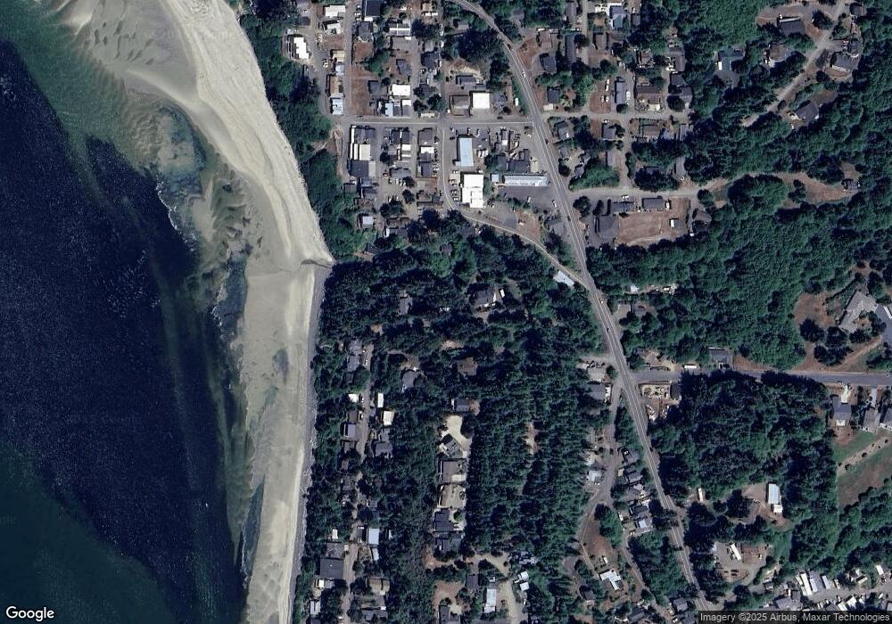
Map
Nearby Homes
- 1520 Pearl St W
- 1540 Vista View Dr W
- 0 Tl 3800 Unit 479246395
- TL 3800 Vista View Dr W
- 1125 Phelps
- 223 Holly Heights Ave
- 218 Holly Heights Ave
- 224 Holly Heights Ave
- 925 Happy Camp Rd W
- 4803 Holly Heights Ave
- 0 Happy Camp Rd Unit 24198809
- 4830 Netarts Hwy W
- 0 Netarts Oceanside Hwy W Unit 2Lots 24315118
- 0 Netarts Oceanside Hwy W Unit 2500&2600 23-95
- 4745 Netarts Hwy W
- 0 Moondancer Ln Unit 62
- 0 Moondancer Ln Unit 25-198
- 1605 Black Sands Way
- 1585 Black Sands Way
- 1960 Alder Cove Rd W
- 1270 Pearl St W Unit Pearl Street
- 1280 Pearl St W
- 1260 Pearl St W
- 1230 5th Street Loop W
- 1250 5th Street Loop W
- 1285 Pearl St W
- 1385 Pearl St W
- 1185 3rd St
- 0 Pearl Parcel 3 St Unit 20-832
- 0 Pearl Parcel 3 St Unit 20-478
- 1240 5th Street Loop W Unit 1
- 1180 3rd St
- 1320 Pearl St W
- 1290 5th Street Loop W
- 1290 Pearl St W
- 0 Oooo Unit 8080275
- 1430 Park Loop W
- 1275 5th Street Loop W Unit 1
- 1275 5th Street Loop W
- 1170 3rd St