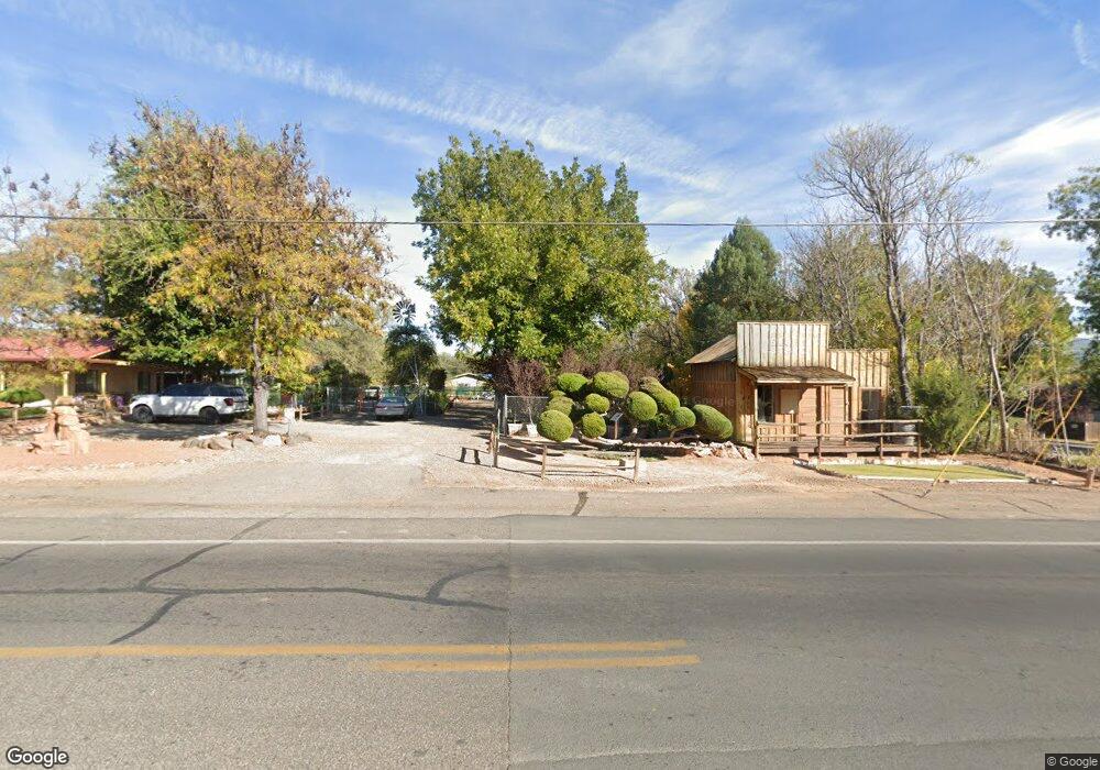
1270 S Ravens Roost Rd Cornville, AZ 86325
Estimated Value: $534,000 - $752,000
3
Beds
--
Bath
2,423
Sq Ft
$275/Sq Ft
Est. Value
About This Home
This home is located at 1270 S Ravens Roost Rd, Cornville, AZ 86325 and is currently estimated at $665,771, approximately $274 per square foot. 1270 S Ravens Roost Rd is a home located in Yavapai County with nearby schools including Oak Creek School, Cottonwood Community School, and Cottonwood Middle School.
Ownership History
Date
Name
Owned For
Owner Type
Purchase Details
Closed on
Oct 2, 2018
Sold by
Whitworth Charles L
Bought by
Whitworth Mark Charles
Current Estimated Value
Home Financials for this Owner
Home Financials are based on the most recent Mortgage that was taken out on this home.
Original Mortgage
$221,820
Interest Rate
4.62%
Mortgage Type
FHA
Purchase Details
Closed on
Jan 6, 2011
Sold by
Lee Orville and Lee Marion
Bought by
Whitworth Charles L
Home Financials for this Owner
Home Financials are based on the most recent Mortgage that was taken out on this home.
Original Mortgage
$186,528
Interest Rate
4.79%
Mortgage Type
New Conventional
Purchase Details
Closed on
Dec 22, 2004
Sold by
Hillman Philip A and Hillman Patricia K
Bought by
Lee Orville and Lee Marion
Create a Home Valuation Report for This Property
The Home Valuation Report is an in-depth analysis detailing your home's value as well as a comparison with similar homes in the area
Home Values in the Area
Average Home Value in this Area
Purchase History
| Date | Buyer | Sale Price | Title Company |
|---|---|---|---|
| Whitworth Mark Charles | $235,000 | Yavapai Title | |
| Whitworth Charles L | $180,000 | Yavapai Title Agency Inc | |
| Lee Orville | $84,000 | First American Title Ins Co |
Source: Public Records
Mortgage History
| Date | Status | Borrower | Loan Amount |
|---|---|---|---|
| Previous Owner | Whitworth Mark Charles | $221,820 | |
| Previous Owner | Whitworth Charles L | $186,528 |
Source: Public Records
Tax History Compared to Growth
Tax History
| Year | Tax Paid | Tax Assessment Tax Assessment Total Assessment is a certain percentage of the fair market value that is determined by local assessors to be the total taxable value of land and additions on the property. | Land | Improvement |
|---|---|---|---|---|
| 2026 | $2,748 | $57,769 | -- | -- |
| 2024 | $2,595 | $53,064 | -- | -- |
| 2023 | $2,640 | $42,405 | $5,346 | $37,059 |
| 2022 | $2,595 | $34,059 | $4,184 | $29,875 |
| 2021 | $2,711 | $31,753 | $4,315 | $27,438 |
| 2020 | $2,661 | $0 | $0 | $0 |
| 2019 | $2,614 | $0 | $0 | $0 |
| 2018 | $2,508 | $0 | $0 | $0 |
| 2017 | $2,398 | $0 | $0 | $0 |
| 2016 | $2,338 | $0 | $0 | $0 |
| 2015 | $2,313 | $0 | $0 | $0 |
| 2014 | $2,117 | $0 | $0 | $0 |
Source: Public Records
Map
Nearby Homes
- 1445 S Koch Ranch Rd
- 12155 E Ladera Ct
- 1625 Desert Holly Trail
- 1505 S Rancho Casero Dr
- 1505 S Rancho Casero Dr
- 12675 E Tuscan Ridge Rd
- 1380 S Mountain View Rd
- 1220 S Eastern Dr
- 1665 S Mountain View Rd
- 1970 Equestrian Way
- 11310 E Circle Dr
- 1790 S Koch Ranch Rd
- 4444 S Western Dr Unit 573
- 515 S Ole Paint Way Unit 2
- 1980 S Koch Ranch Rd
- 11365 E Adams Ln
- 11675 E Diamond View Rd
- 10875 E Stingray Ln
- 1733 S Sugarloaf Rd
- 10883 E Pear Tree Dr Unit 14
- 1270 S Raven Roost Rd
- 1290 S Raven Roost Rd
- 1250 S Raven Roost Rd
- 1290 S Raven Roost Rd
- 1245 S Recycler Rd
- 1255 S Ravensroost Rd
- 1255 S Raven Roost Rd
- 1280 S Recycler Rd
- 1255 S Ravens Roost Rd
- 12620 E Cornville Rd
- 12550 E Cornville Rd
- 1245 S Mellowrise Hill Ln
- 0 Mellowrise Hill Ln
- 1270 Mellowrise Hill Ln
- 1355 Dh Trail