1270 State Route 3011 Meshoppen, PA 18630
Estimated Value: $214,000 - $343,000
--
Bed
--
Bath
--
Sq Ft
3.46
Acres
About This Home
This home is located at 1270 State Route 3011, Meshoppen, PA 18630 and is currently estimated at $265,532. 1270 State Route 3011 is a home located in Susquehanna County with nearby schools including Elk Lake El School and Elk Lake Junior/Senior High School.
Ownership History
Date
Name
Owned For
Owner Type
Purchase Details
Closed on
Jul 24, 2012
Sold by
Moran Carolyn and Moran Carolyn
Bought by
King Donald L and King Patricia
Current Estimated Value
Home Financials for this Owner
Home Financials are based on the most recent Mortgage that was taken out on this home.
Original Mortgage
$100,000
Outstanding Balance
$69,127
Interest Rate
3.7%
Mortgage Type
New Conventional
Estimated Equity
$196,405
Create a Home Valuation Report for This Property
The Home Valuation Report is an in-depth analysis detailing your home's value as well as a comparison with similar homes in the area
Home Values in the Area
Average Home Value in this Area
Purchase History
| Date | Buyer | Sale Price | Title Company |
|---|---|---|---|
| King Donald L | $130,000 | None Available |
Source: Public Records
Mortgage History
| Date | Status | Borrower | Loan Amount |
|---|---|---|---|
| Open | King Donald L | $100,000 |
Source: Public Records
Tax History Compared to Growth
Tax History
| Year | Tax Paid | Tax Assessment Tax Assessment Total Assessment is a certain percentage of the fair market value that is determined by local assessors to be the total taxable value of land and additions on the property. | Land | Improvement |
|---|---|---|---|---|
| 2025 | $3,039 | $43,000 | $8,500 | $34,500 |
| 2024 | $2,927 | $43,000 | $8,500 | $34,500 |
| 2023 | $2,694 | $42,100 | $8,500 | $33,600 |
| 2022 | $2,680 | $42,100 | $8,500 | $33,600 |
| 2021 | $2,606 | $42,100 | $8,500 | $33,600 |
| 2020 | $2,523 | $42,100 | $8,500 | $33,600 |
| 2019 | $2,523 | $42,100 | $8,500 | $33,600 |
| 2018 | $2,390 | $42,100 | $8,500 | $33,600 |
| 2017 | $42,100 | $42,100 | $8,500 | $33,600 |
| 2016 | $2,212 | $42,100 | $8,500 | $33,600 |
| 2015 | $442 | $42,100 | $0 | $0 |
| 2014 | $442 | $42,100 | $0 | $0 |
Source: Public Records
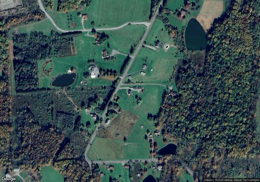
Map
Nearby Homes
- 385 Rattle Snake Hill Rd
- 5115 State Route 3013
- 29 Ferncrest Dr
- 1 Pennsylvania 29
- 11694 State Route 3004
- 0 Sr 29n Unit GSBSC256186
- 6193 Pennsylvania 87
- 32 Shore Dr
- 7 Hollow Crest Rd
- 22 Mount Airy Estate
- 828 W Avery Station Rd
- 0 Dark Hollow Rd Unit GSBSC255658
- Lot 12 Walnut Ridge Dr
- Lot 29 Walnut Ridge Dr
- Lot 28 Walnut Ridge Dr
- Lot 17 Walnut Ridge Dr
- Lot 16 Walnut Ridge Dr
- Lot 18 Walnut Ridge Dr
- Lot 13 Walnut Ridge Dr
- Lot 19 Walnut Ridge Dr
- 1284 State Route 3011
- 1380 State Route 3011
- 1380 Sr 3011
- 767 State Route 3011
- 695 State Route 3011
- 610 State Route 3011
- 558 State Route 3011
- 494 State Route 3011
- 631 Pennsworth Hill Rd
- 4280 Craig Hill Rd
- 0 Craig Hill Rd
- 728 Pennsworth Hill Rd
- 372 Pennsworth Hill Rd
- 209 Whitecreek Rd
- 115 Whitecreek Rd
- 175 Whitecreek Rd
- 15 Pennsworth Hill Rd
- 624 Whitecreek Rd
- 34 Knights Hill Rd
- 0 White Creek Rd