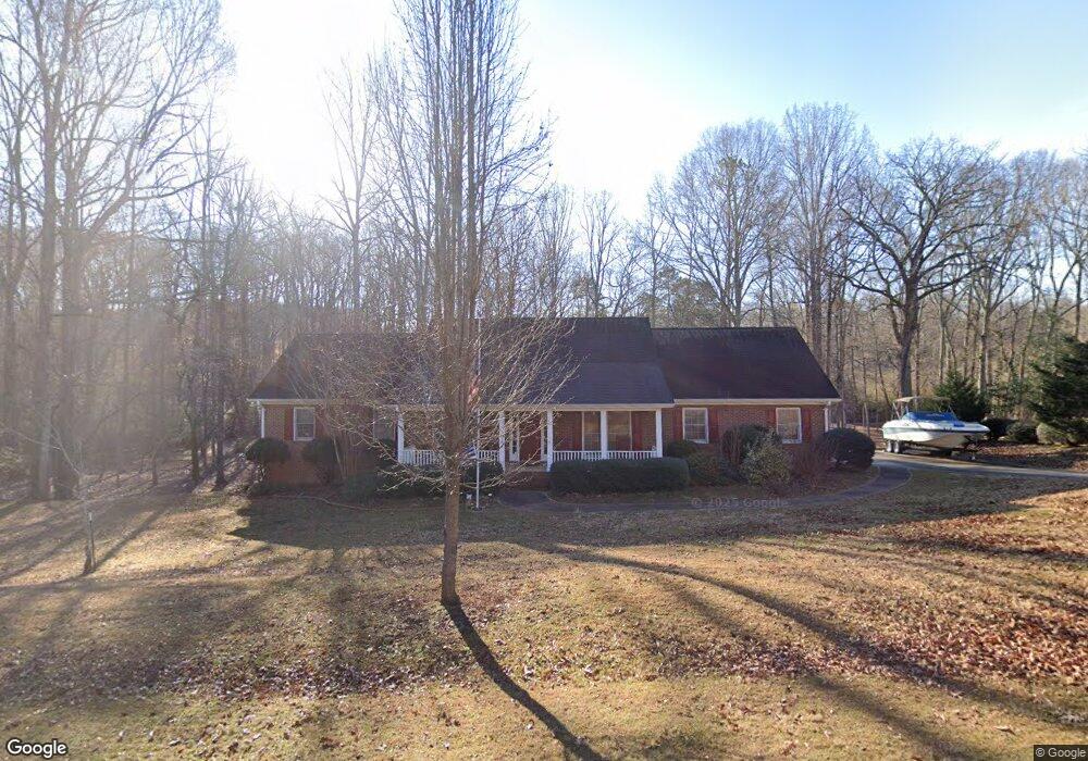
1270 Station Dr Unit LOT 1 Watkinsville, GA 30677
Estimated Value: $539,839 - $564,000
4
Beds
3
Baths
2,631
Sq Ft
$210/Sq Ft
Est. Value
About This Home
This home is located at 1270 Station Dr Unit LOT 1, Watkinsville, GA 30677 and is currently estimated at $551,710, approximately $209 per square foot. 1270 Station Dr Unit LOT 1 is a home located in Oconee County with nearby schools including Oconee County Elementary School, Oconee County Primary School, and Oconee County Middle School.
Ownership History
Date
Name
Owned For
Owner Type
Purchase Details
Closed on
Apr 25, 2025
Sold by
Gatlin David J
Bought by
Wyatt Howard and Ansley Howard
Current Estimated Value
Home Financials for this Owner
Home Financials are based on the most recent Mortgage that was taken out on this home.
Original Mortgage
$524,770
Outstanding Balance
$522,912
Interest Rate
6.65%
Mortgage Type
New Conventional
Estimated Equity
$28,798
Purchase Details
Closed on
Nov 26, 2003
Sold by
Smith Margaret Goss
Bought by
Gatlin David J
Purchase Details
Closed on
Nov 29, 2001
Sold by
Smith Edgar Mitchell
Bought by
Smith Margaret Goss
Create a Home Valuation Report for This Property
The Home Valuation Report is an in-depth analysis detailing your home's value as well as a comparison with similar homes in the area
Home Values in the Area
Average Home Value in this Area
Purchase History
| Date | Buyer | Sale Price | Title Company |
|---|---|---|---|
| Wyatt Howard | $541,000 | -- | |
| Gatlin David J | $237,500 | -- | |
| Smith Margaret Goss | -- | -- |
Source: Public Records
Mortgage History
| Date | Status | Borrower | Loan Amount |
|---|---|---|---|
| Open | Wyatt Howard | $524,770 |
Source: Public Records
Tax History Compared to Growth
Tax History
| Year | Tax Paid | Tax Assessment Tax Assessment Total Assessment is a certain percentage of the fair market value that is determined by local assessors to be the total taxable value of land and additions on the property. | Land | Improvement |
|---|---|---|---|---|
| 2024 | $2,921 | $157,548 | $30,000 | $127,548 |
| 2023 | $2,933 | $146,225 | $26,000 | $120,225 |
| 2022 | $2,770 | $129,866 | $26,000 | $103,866 |
| 2021 | $2,757 | $119,970 | $26,000 | $93,970 |
| 2020 | $2,708 | $117,644 | $26,000 | $91,644 |
| 2019 | $2,640 | $114,740 | $26,000 | $88,740 |
| 2018 | $2,552 | $108,636 | $24,000 | $84,636 |
| 2017 | $2,423 | $103,181 | $24,000 | $79,181 |
| 2016 | $2,321 | $98,855 | $24,000 | $74,855 |
| 2015 | $2,253 | $95,848 | $24,000 | $71,848 |
| 2014 | $2,242 | $93,249 | $24,000 | $69,249 |
| 2013 | -- | $95,405 | $28,000 | $67,405 |
Source: Public Records
Map
Nearby Homes
- 1030 Rossiter Ct
- 1040 Rossiter Ct
- 1682 River Bank Ln
- 2041 Simonton Bridge Rd
- 2061 Simonton Bridge Rd
- 1061 Riverside Dr
- 2190 Simonton Bridge Rd
- 2240 Simonton Bridge Rd
- 1250 Calls Creek Cir
- 1145 Watson Ln Unit E3
- 1311 Watson Ln Unit E8
- 1171 Watson Ln Unit E4
- 1195 Watson Ln Unit E5
- Laurel Plan at Wire Park - Trillium
- E Building Townhome Plan at Wire Park - The Towns
- Cubicasa Plan at Wire Park - The Towns
- 1121 Watson Ln Unit E2
- Azalea Plan at Wire Park - Trillium
- Jasmine Plan at Wire Park - Trillium
- 1270 Station Dr
- 1260 Station Dr
- 1271 Station Dr
- 0 Station Dr Unit 8664109
- 0 Station Dr Unit 8608829
- 0 Station Dr Unit 8496471
- 0 Station Dr Unit 8137749
- 0 Station Dr Unit 8056582
- 0 Station Dr Unit 7472685
- 0 Station Dr Unit 8927973
- 0 Station Dr
- 1290 Station Dr
- 1291 Station Dr
- 1240 Station Dr
- 1251 Station Dr
- 1310 Station Dr
- 1311 Station Dr
- 1231 Station Dr
- 1330 Station Dr
- 1150 Victoria Crossing