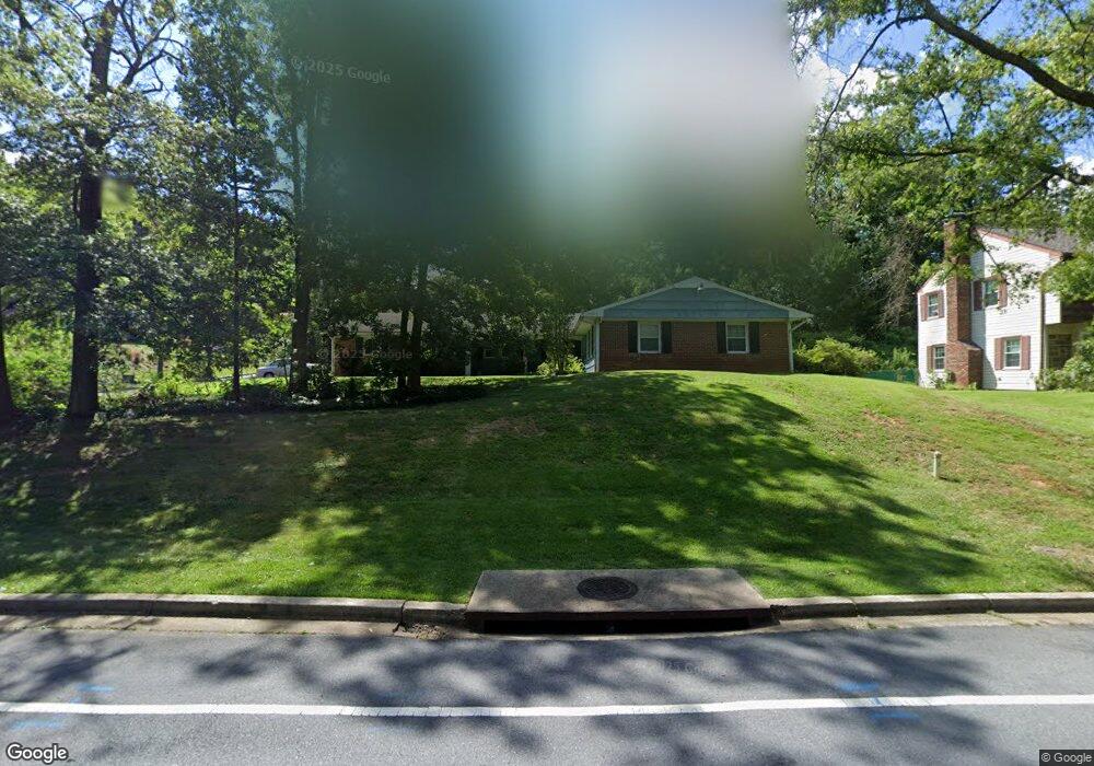
12700 Cedarbrook Ln Laurel, MD 20708
South Laurel NeighborhoodEstimated Value: $485,000 - $554,000
Studio
2
Baths
1,933
Sq Ft
$268/Sq Ft
Est. Value
About This Home
This home is located at 12700 Cedarbrook Ln, Laurel, MD 20708 and is currently estimated at $518,830, approximately $268 per square foot. 12700 Cedarbrook Ln is a home located in Prince George's County with nearby schools including Deerfield Run Elementary School, Dwight D. Eisenhower Middle School, and Laurel High School.
Ownership History
Date
Name
Owned For
Owner Type
Purchase Details
Closed on
Jul 15, 2004
Sold by
Fite Paul V
Bought by
Fite Paul V
Current Estimated Value
Purchase Details
Closed on
Nov 30, 2000
Sold by
Boyle Norman L
Bought by
Fite Paul V and Fite Susan L
Purchase Details
Closed on
Sep 5, 1997
Sold by
Walton Belle K
Bought by
Boyle Norman L
Create a Home Valuation Report for This Property
The Home Valuation Report is an in-depth analysis detailing your home's value as well as a comparison with similar homes in the area
Home Values in the Area
Average Home Value in this Area
Purchase History
| Date | Buyer | Sale Price | Title Company |
|---|---|---|---|
| Fite Paul V | -- | -- | |
| Fite Paul V | $175,000 | -- | |
| Boyle Norman L | $141,000 | -- |
Source: Public Records
Tax History
| Year | Tax Paid | Tax Assessment Tax Assessment Total Assessment is a certain percentage of the fair market value that is determined by local assessors to be the total taxable value of land and additions on the property. | Land | Improvement |
|---|---|---|---|---|
| 2025 | $4,914 | $409,700 | $127,000 | $282,700 |
| 2024 | $4,914 | $377,200 | -- | -- |
| 2023 | $4,671 | $344,700 | $0 | $0 |
| 2022 | $4,395 | $312,200 | $102,000 | $210,200 |
| 2021 | $4,238 | $304,133 | $0 | $0 |
| 2020 | $4,175 | $296,067 | $0 | $0 |
| 2019 | $4,090 | $288,000 | $101,000 | $187,000 |
| 2018 | $3,953 | $273,567 | $0 | $0 |
| 2017 | $3,839 | $259,133 | $0 | $0 |
| 2016 | -- | $244,700 | $0 | $0 |
| 2015 | $3,213 | $232,933 | $0 | $0 |
| 2014 | $3,213 | $221,167 | $0 | $0 |
Source: Public Records
Map
Nearby Homes
- 8904 Royal Ridge Ln
- 8908 Eastbourne Ln
- 12600 Cedarbrook Ln
- 8479 Imperial Dr
- 8714 Granite Ln
- 12201 Mount Pleasant Dr
- 8415 Snowden Oaks Place
- 12513 Laurel Bowie Rd
- 9303 Ispahan Loop
- 12122 Running Bull Way
- 12124 Running Bull Way
- 12128 Running Bull Way
- 12017 Apache Tears Cir
- 12109 Spirit Ave
- 12107 Spirit Ave
- 12105 Spirit Ave
- 12103 Spirit Ave
- 12101 Spirit Ave
- 8307 Snowden Oaks Place
- 13400 Oaklands Manor Dr
- 8912 Royal Ridge Ln
- 12614 Cedarbrook Ln
- 12701 Cedarbrook Ln
- 8911 Royal Ridge Ln
- 9005 Eastbourne Ln
- 12704 Cedarbrook Ln
- 8910 Royal Ridge Ln
- 12615 Cedarbrook Ln
- 12705 Cedarbrook Ln
- 12612 Cedarbrook Ln
- 8909 Royal Ridge Ln
- 12613 Cedarbrook Ln
- 9001 Eastbourne Ln
- 8908 Royal Ridge Ln
- 12707 Cedarbrook Ln
- 12704 Silverbirch Ln
- 12610 Cedarbrook Ln
- 9008 Eastbourne Ln
- 12611 Cedarbrook Ln
- 8907 Royal Ridge Ln
Your Personal Tour Guide
Ask me questions while you tour the home.