12700 Dover Rd Reisterstown, MD 21136
Estimated Value: $908,747 - $1,134,000
--
Bed
4
Baths
3,348
Sq Ft
$300/Sq Ft
Est. Value
About This Home
This home is located at 12700 Dover Rd, Reisterstown, MD 21136 and is currently estimated at $1,005,687, approximately $300 per square foot. 12700 Dover Rd is a home located in Baltimore County with nearby schools including Franklin Elementary School, Franklin Middle, and Franklin High.
Ownership History
Date
Name
Owned For
Owner Type
Purchase Details
Closed on
Aug 30, 2002
Sold by
Astin John A
Bought by
Salkini Tarek
Current Estimated Value
Purchase Details
Closed on
Apr 24, 2000
Sold by
Olson Greggory William
Bought by
Astin John A and Astin Katherine Trueblood
Purchase Details
Closed on
Oct 3, 1990
Sold by
Tjw Associates I Nc
Bought by
Olson Greggory William
Create a Home Valuation Report for This Property
The Home Valuation Report is an in-depth analysis detailing your home's value as well as a comparison with similar homes in the area
Home Values in the Area
Average Home Value in this Area
Purchase History
| Date | Buyer | Sale Price | Title Company |
|---|---|---|---|
| Salkini Tarek | $550,000 | -- | |
| Astin John A | $435,000 | -- | |
| Olson Greggory William | $359,000 | -- |
Source: Public Records
Mortgage History
| Date | Status | Borrower | Loan Amount |
|---|---|---|---|
| Open | Salkini Terek | $523,000 | |
| Closed | Salkini Tarek A | $85,000 | |
| Closed | Salkini Tarek | $572,600 | |
| Closed | Salkini Tarek | $150,000 |
Source: Public Records
Tax History Compared to Growth
Tax History
| Year | Tax Paid | Tax Assessment Tax Assessment Total Assessment is a certain percentage of the fair market value that is determined by local assessors to be the total taxable value of land and additions on the property. | Land | Improvement |
|---|---|---|---|---|
| 2025 | $8,479 | $747,333 | -- | -- |
| 2024 | $8,479 | $697,800 | $142,500 | $555,300 |
| 2023 | $4,175 | $683,933 | $0 | $0 |
| 2022 | $8,108 | $670,067 | $0 | $0 |
| 2021 | $7,930 | $656,200 | $142,500 | $513,700 |
| 2020 | $7,930 | $649,367 | $0 | $0 |
| 2019 | $7,848 | $642,533 | $0 | $0 |
| 2018 | $7,765 | $635,700 | $142,500 | $493,200 |
| 2017 | $7,225 | $596,567 | $0 | $0 |
| 2016 | $6,177 | $557,433 | $0 | $0 |
| 2015 | $6,177 | $518,300 | $0 | $0 |
| 2014 | $6,177 | $516,133 | $0 | $0 |
Source: Public Records
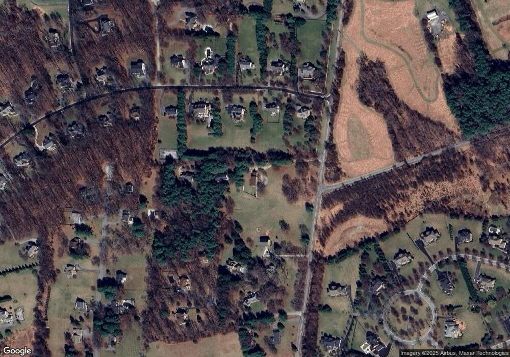
Map
Nearby Homes
- 2511 Chestnut Woods Ct
- 12602 Barto Ln
- 2610 Chestnut Woods Ct
- 2801 Baublitz Rd
- 2201 Knox Ave
- 12229 Dover Rd
- 2020 Ridge Rd
- 12645 Greenspring Ave
- LOT 1 Landens Ridge Unit RAINIER
- 12643 Greenspring Ave
- 2410 Greenspring Ave
- 2414 Greenspring Ave
- 1915 Billy Barton Cir
- 2416 Greenspring Ave
- 2407 Greenspring Ave
- 2415 Greenspring Ave
- 2421 Greenspring Ave
- 2417 Greenspring Ave
- 13105 Pendleton Ct
- 3116 Blendon Rd
- 12702 Dover Rd
- 12622 Dover Rd
- 12704 Dover Rd
- 2505 Chestnut Woods Ct
- 2507 Chestnut Woods Ct
- 2503 Chestnut Woods Ct
- 2501 Chestnut Woods Ct
- 12616 Dover Rd
- 12614 Dover Rd
- 2509 Chestnut Woods Ct
- 2504 Chestnut Woods Ct
- 2502 Chestnut Woods Ct
- 12618 Dover Rd
- 2500 Chestnut Woods Ct
- 12612 Dover Rd
- 2508 Chestnut Woods Ct
- 12613 Worthington Ridge Rd
- 12611 Worthington Ridge Rd
- 2416 Long Ridge Rd
- 2510 Chestnut Woods Ct