12700 Osprey Ln Clinton, MT 59825
Clinton NeighborhoodEstimated Value: $456,000 - $806,000
About This Home
This home is located at 12700 Osprey Ln, Clinton, MT 59825 and is currently estimated at $589,936, approximately $322 per square foot. 12700 Osprey Ln is a home located in Missoula County with nearby schools including Clinton Elementary School and Sentinel High School.
Ownership History
We collect this data history from publicly available records. To have your information removed, we recommend requesting removal directly through your county’s website.
Purchase Details
Home Financials for this Owner
Home Financials are based on the most recent Mortgage that was taken out on this home.Home Values in the Area
Average Home Value in this Area
Purchase History
We collect this data history from publicly available records. To have your information removed, we recommend requesting removal directly through your county’s website.
| Date | Buyer | Sale Price | Title Company |
|---|---|---|---|
| -- | -- |
Mortgage History
We collect this data history from publicly available records. To have your information removed, we recommend requesting removal directly through your county’s website.
| Date | Status | Borrower | Loan Amount |
|---|---|---|---|
| Previous Owner | $151,000 |
Tax History
We collect this data history from publicly available records. To have your information removed, we recommend requesting removal directly through your county’s website.
| Year | Tax Paid | Tax Assessment Tax Assessment Total Assessment is a certain percentage of the fair market value that is determined by local assessors to be the total taxable value of land and additions on the property. | Land | Improvement |
|---|---|---|---|---|
| 2025 | $3,075 | $411,145 | $189,925 | $221,220 |
| 2024 | $3,524 | $363,800 | $115,300 | $248,500 |
| 2023 | $3,029 | $363,800 | $115,300 | $248,500 |
| 2022 | $2,401 | $238,600 | $0 | $0 |
| 2021 | $2,332 | $238,600 | $0 | $0 |
| 2020 | $2,173 | $213,600 | $0 | $0 |
| 2019 | $2,162 | $213,600 | $0 | $0 |
| 2018 | $1,938 | $200,500 | $0 | $0 |
| 2017 | $1,953 | $200,500 | $0 | $0 |
| 2016 | $1,914 | $206,600 | $0 | $0 |
| 2015 | $1,787 | $206,600 | $0 | $0 |
| 2014 | $1,653 | $106,901 | $0 | $0 |
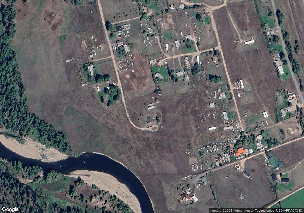
Map
- 12407 Hawk Ln
- 20735 E Mullan Rd
- Lot 13 Pamin Loop
- 11055 Silver St
- North Parcel "B" Stitt St
- NHN Stitt St
- 21119 Handley Loop
- 21133 Handley Loop
- Lot 15 Muddler Ct
- 14311 Muddler Ct
- Lot 11 Stonefly Rd
- Lot 17 Caddisfly Ct
- Lot 9 Stonefly Rd
- Nhn Us Highway 10 E
- 24570 Stonefly Rd
- 48 Rock Creek Rd
- Lot 2 Caddisfly Ct
- 14297 Caddisfly Ct
- NHN Dirty Ike Creek Rd
- Nhn Bonita Ranger Station Rd
- 20525 Killdeer Ln
- 12867 Hawk Ln
- 21185 E Mullan Rd
- 20595 Killdeer Ln
- 20500 Killdeer Ln
- 12895 Hawk Ln
- 21191 E Mullan Rd
- 21199 E Mullan Rd
- 12425 Hawk Ln
- 21155 E Mullan Rd
- 20895 E Mullan Rd
- 12406 Osprey Ln
- 12425 Osprey Ln
- 21225 E Mullan Rd
- 12405 Hawk Ln
- 12392 Osprey Ln
- 20089 Schwartz Creek Rd
- 20825 E Mullan Rd
- 20504 Hawk Nest Ct
- 12225 Hawk Ln
Ask me questions while you tour the home.