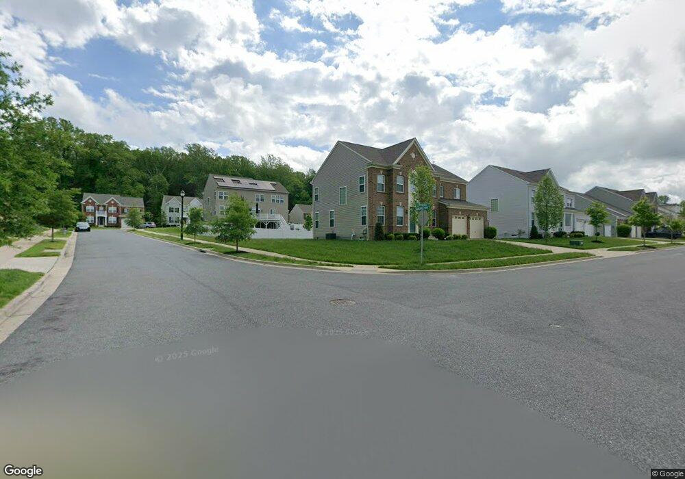
12701 Marlboro Pointe Dr Upper Marlboro, MD 20772
Estimated Value: $651,000 - $790,000
--
Bed
1
Bath
3,192
Sq Ft
$230/Sq Ft
Est. Value
About This Home
This home is located at 12701 Marlboro Pointe Dr, Upper Marlboro, MD 20772 and is currently estimated at $733,117, approximately $229 per square foot. 12701 Marlboro Pointe Dr is a home located in Prince George's County with nearby schools including Barack Obama Elementary School, James Madison Middle School, and Dr. Henry A. Wise Jr. High School.
Ownership History
Date
Name
Owned For
Owner Type
Purchase Details
Closed on
Mar 5, 2021
Sold by
Stanley Martin Homes Llc
Bought by
Edmonds Sheila R and Edmonds Nathaniel
Current Estimated Value
Home Financials for this Owner
Home Financials are based on the most recent Mortgage that was taken out on this home.
Original Mortgage
$426,116
Outstanding Balance
$381,114
Interest Rate
2.7%
Mortgage Type
New Conventional
Estimated Equity
$352,003
Create a Home Valuation Report for This Property
The Home Valuation Report is an in-depth analysis detailing your home's value as well as a comparison with similar homes in the area
Home Values in the Area
Average Home Value in this Area
Purchase History
| Date | Buyer | Sale Price | Title Company |
|---|---|---|---|
| Edmonds Sheila R | $532,645 | First Excel Title Llc |
Source: Public Records
Mortgage History
| Date | Status | Borrower | Loan Amount |
|---|---|---|---|
| Open | Edmonds Sheila R | $426,116 |
Source: Public Records
Tax History Compared to Growth
Tax History
| Year | Tax Paid | Tax Assessment Tax Assessment Total Assessment is a certain percentage of the fair market value that is determined by local assessors to be the total taxable value of land and additions on the property. | Land | Improvement |
|---|---|---|---|---|
| 2025 | $8,292 | $569,200 | $166,500 | $402,700 |
| 2024 | $8,292 | $548,067 | $0 | $0 |
| 2023 | $7,986 | $526,933 | $0 | $0 |
| 2022 | $7,681 | $505,800 | $126,500 | $379,300 |
| 2021 | $7,498 | $493,133 | $0 | $0 |
| 2020 | $314 | $18,867 | $0 | $0 |
| 2019 | $269 | $18,800 | $18,800 | $0 |
| 2018 | $313 | $18,800 | $18,800 | $0 |
| 2017 | $313 | $18,800 | $0 | $0 |
| 2016 | -- | $18,800 | $0 | $0 |
| 2015 | $263 | $18,800 | $0 | $0 |
| 2014 | $263 | $18,800 | $0 | $0 |
Source: Public Records
Map
Nearby Homes
- 4514 Myles Ct
- 13139 Ripon Place
- 4655 Penzance Place
- 4411 Beckenham Place
- 4423 Beckenham Place
- 5222 Derby Manor Ln
- 5209 Mount Airy Ln
- 13560 Lord Sterling Place
- 13550 Lord Sterling Place
- 4417 Lieutenant Lansdale Place
- 5200 Mapleshade Ln W
- 13500 Old Marlboro Pike
- 13538 Lord Baltimore Place
- 13606 Lord Sterling Place
- 13542 Lord Baltimore Place
- 4503 Captain Duval Dr
- 13602 Lord Sterling Place
- 13612 Lord Sterling Place
- 13814 King Frederick Way
- 14023 Lord Marlborough Place
- 4702 Groover Ln
- 12705 Marlboro Pointe Dr
- 12715 Marlboro Pointe Dr
- 4701 Groover Ln
- 4703 Groover Ln
- 4706 Groover Ln
- 12700 Marlboro Pointe Dr
- 4705 Groover Ln
- 12704 Marlboro Pointe Dr
- 12702 Marlboro Pointe Dr
- 12717 Marlboro Pointe Dr
- 4708 Groover Ln
- 12706 Marlboro Pointe Dr
- 4700 Tripper Ln
- 4701 Tripper Ln
- 4707 Groover Ln
- 4702 Tripper Ln
- 12708 Marlboro Pointe Dr
- 12719 Marlboro Pointe Dr
- 12712 Marlboro Pointe Dr