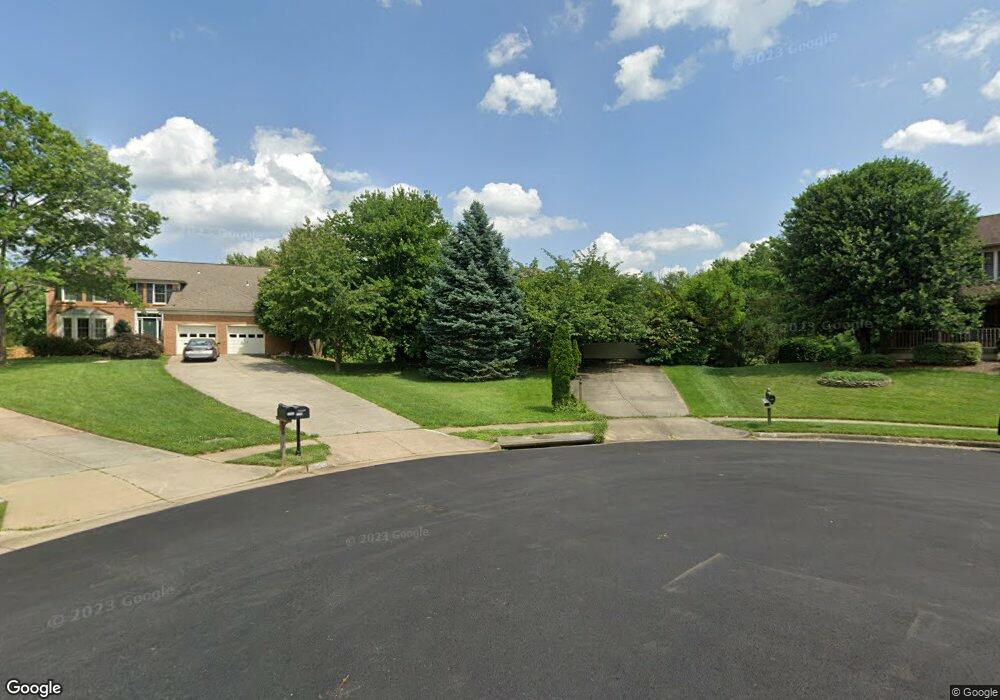
12701 Roark Ct Reston, VA 20191
Estimated Value: $877,787 - $1,001,000
5
Beds
3
Baths
2,420
Sq Ft
$384/Sq Ft
Est. Value
About This Home
This home is located at 12701 Roark Ct, Reston, VA 20191 and is currently estimated at $930,197, approximately $384 per square foot. 12701 Roark Ct is a home located in Fairfax County with nearby schools including Dogwood Elementary, Langston Hughes Middle School, and South Lakes High School.
Ownership History
Date
Name
Owned For
Owner Type
Purchase Details
Closed on
Feb 22, 2000
Sold by
Yeh Jimmy A
Bought by
Bartlett Roderick J
Current Estimated Value
Home Financials for this Owner
Home Financials are based on the most recent Mortgage that was taken out on this home.
Original Mortgage
$248,000
Outstanding Balance
$81,922
Interest Rate
8.15%
Estimated Equity
$848,275
Create a Home Valuation Report for This Property
The Home Valuation Report is an in-depth analysis detailing your home's value as well as a comparison with similar homes in the area
Home Values in the Area
Average Home Value in this Area
Purchase History
| Date | Buyer | Sale Price | Title Company |
|---|---|---|---|
| Bartlett Roderick J | $310,000 | -- |
Source: Public Records
Mortgage History
| Date | Status | Borrower | Loan Amount |
|---|---|---|---|
| Open | Bartlett Roderick J | $248,000 |
Source: Public Records
Tax History Compared to Growth
Tax History
| Year | Tax Paid | Tax Assessment Tax Assessment Total Assessment is a certain percentage of the fair market value that is determined by local assessors to be the total taxable value of land and additions on the property. | Land | Improvement |
|---|---|---|---|---|
| 2025 | $8,900 | $813,450 | $340,000 | $473,450 |
| 2024 | $8,900 | $738,260 | $310,000 | $428,260 |
| 2023 | $8,367 | $711,820 | $310,000 | $401,820 |
| 2022 | $7,975 | $669,860 | $285,000 | $384,860 |
| 2021 | $7,755 | $635,420 | $260,000 | $375,420 |
| 2020 | $7,519 | $611,060 | $245,000 | $366,060 |
| 2019 | $7,679 | $624,030 | $245,000 | $379,030 |
| 2018 | $7,283 | $591,890 | $220,000 | $371,890 |
| 2017 | $6,945 | $574,930 | $210,000 | $364,930 |
| 2016 | $6,779 | $562,370 | $210,000 | $352,370 |
| 2015 | $6,540 | $562,370 | $210,000 | $352,370 |
| 2014 | $6,291 | $542,110 | $200,000 | $342,110 |
Source: Public Records
Map
Nearby Homes
- 12768 Sunrise Valley Dr
- 12937 Centre Park Cir Unit 403
- 12945 Centre Park Cir Unit 208
- 12945 Centre Park Cir Unit 403
- 12945 Centre Park Cir Unit 408
- 12925 Centre Park Cir Unit 311
- 12925 Centre Park Cir Unit 101
- 12271 Turkey Wing Ct
- 12865 Mosaic Park Way Unit 3Y
- 12850 Mosaic Way Unit 2U
- 12953 Centre Park Cir Unit 218
- 12953 Centre Park Cir Unit 222
- 12880 Mosaic Park Way Unit 1-X
- 2330 Archdale Rd
- 12958 Centre Park Cir Unit 219
- 12956 Centre Park Cir Unit 417
- 12917 Wood Crescent Cir
- 2269 Marginella Dr
- 12901 Alton Square Unit 102
- 2266 White Cornus Ln
- 12700 Roark Ct
- 12703 Roark Ct
- 12702 Roark Ct
- 12704 Roark Ct
- 12705 Roark Ct
- 2210 Stirrup Iron Ln
- 12706 Roark Ct
- 2208 Stirrup Iron Ln
- 12708 Roark Ct
- 2212 Stirrup Iron Ln
- 2206 Stirrup Iron Ln
- 2204 Stirrup Iron Ln
- 12707 Roark Ct
- 2201 Roark Dr
- 2214 Stirrup Iron Ln
- 2202 Stirrup Iron Ln
- 12710 Roark Ct
- 12709 Roark Ct
- 2209 Stirrup Iron Ln
- 2216 Stirrup Iron Ln