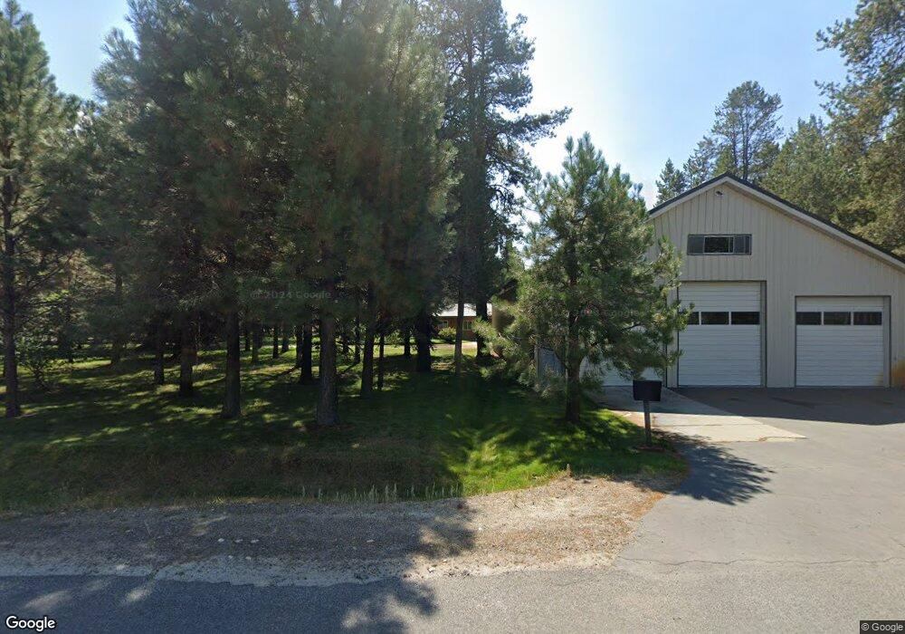
12701 Smokey Dr Donnelly, ID 83615
Estimated Value: $950,000 - $1,175,000
4
Beds
3
Baths
3,570
Sq Ft
$294/Sq Ft
Est. Value
About This Home
This home is located at 12701 Smokey Dr, Donnelly, ID 83615 and is currently estimated at $1,049,750, approximately $294 per square foot. 12701 Smokey Dr is a home located in Valley County with nearby schools including Donnelly Elementary School and McCall-Donnelly High School.
Ownership History
Date
Name
Owned For
Owner Type
Purchase Details
Closed on
Jul 25, 2019
Sold by
Franz Raymond J and Franz Karen J
Bought by
Seibert Michael J and Seibert Mary J
Current Estimated Value
Home Financials for this Owner
Home Financials are based on the most recent Mortgage that was taken out on this home.
Original Mortgage
$325,000
Interest Rate
3.82%
Mortgage Type
Seller Take Back
Create a Home Valuation Report for This Property
The Home Valuation Report is an in-depth analysis detailing your home's value as well as a comparison with similar homes in the area
Home Values in the Area
Average Home Value in this Area
Purchase History
| Date | Buyer | Sale Price | Title Company |
|---|---|---|---|
| Seibert Michael J | -- | Amerititle Cascade |
Source: Public Records
Mortgage History
| Date | Status | Borrower | Loan Amount |
|---|---|---|---|
| Closed | Seibert Michael J | $325,000 |
Source: Public Records
Tax History Compared to Growth
Tax History
| Year | Tax Paid | Tax Assessment Tax Assessment Total Assessment is a certain percentage of the fair market value that is determined by local assessors to be the total taxable value of land and additions on the property. | Land | Improvement |
|---|---|---|---|---|
| 2025 | $2,144 | $989,952 | $228,722 | $761,230 |
| 2023 | $2,144 | $970,172 | $237,354 | $732,818 |
| 2022 | $2,358 | $909,648 | $220,467 | $689,181 |
| 2021 | $2,455 | $652,200 | $102,253 | $549,947 |
| 2020 | $2,951 | $537,534 | $72,984 | $464,550 |
| 2019 | $2,365 | $502,405 | $77,743 | $424,662 |
| 2018 | $2,437 | $486,375 | $58,840 | $427,535 |
| 2017 | $2,660 | $487,675 | $63,872 | $423,803 |
| 2016 | $2,495 | $453,213 | $58,450 | $394,763 |
| 2015 | $1,077 | $383,538 | $0 | $0 |
| 2013 | $490 | $352,558 | $0 | $0 |
Source: Public Records
Map
Nearby Homes
- 136 Jacks Loop
- 140 Jacks Loop
- 12734 Smoky Dr
- 207 Jacks Ln Unit 4
- 227 Mcleod Ln
- 12755 Skain Rd Unit 2
- 200 Angus Ln Unit 5
- 12782 Hereford Rd
- 238 Angus Ln
- 28 Aspen Glade Ct
- 760 Village Dr Unit 307
- 760 Village Dr Unit 305
- 169 Lake Trail Dr
- 75 Arling Center Ct Unit 311
- 75 Arling Center Ct Unit 415
- 75 Arling Center Ct Unit 406
- 75 Arling Center Ct Unit 308
- 75 Arling Center Ct Unit 314
- 75 Arling Center Ct Unit 306
- 12701 Smokey Dr
- 203 Mcleod Ln
- 200 Mcleod Ln
- 200 Mcleod Ln Unit 12
- 12702 Billy Rd
- 198 Mcleod Ln Unit 13
- 198 Mcleod Ln Unit 12 13
- 198 Mcleod Ln
- 12680 Billy Rd
- 204 Mcleod Ln
- 12660 Billy Rd
- 202 Mcleod Ln
- 208 Mcleod Ln Unit 8
- 213 Mcleod Ln
- 213 Mcleod Ln
- 12670 Billy Rd
- 201 Edwards Ln
- 207 Edwards Ln
- 215 Mcleod Ln
- 12652 Hereford Rd