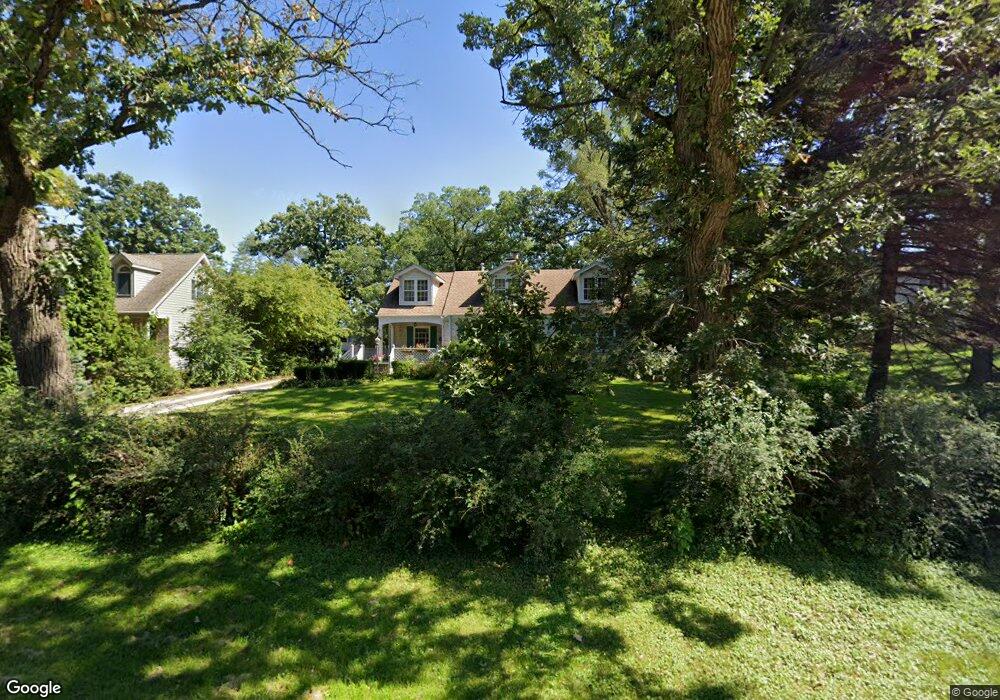
12705 S Palos Ave Palos Heights, IL 60463
Ishnala NeighborhoodEstimated Value: $406,176 - $566,000
4
Beds
2
Baths
1,762
Sq Ft
$258/Sq Ft
Est. Value
About This Home
This home is located at 12705 S Palos Ave, Palos Heights, IL 60463 and is currently estimated at $454,294, approximately $257 per square foot. 12705 S Palos Ave is a home located in Cook County with nearby schools including Palos East Elementary School, Palos South Middle School, and Amos Alonzo Stagg High School.
Ownership History
Date
Name
Owned For
Owner Type
Purchase Details
Closed on
Jan 28, 2011
Sold by
North Star Trust Company
Bought by
Sireikis Giedrius
Current Estimated Value
Home Financials for this Owner
Home Financials are based on the most recent Mortgage that was taken out on this home.
Original Mortgage
$233,916
Interest Rate
4.92%
Mortgage Type
FHA
Create a Home Valuation Report for This Property
The Home Valuation Report is an in-depth analysis detailing your home's value as well as a comparison with similar homes in the area
Home Values in the Area
Average Home Value in this Area
Purchase History
| Date | Buyer | Sale Price | Title Company |
|---|---|---|---|
| Sireikis Giedrius | $240,000 | None Available |
Source: Public Records
Mortgage History
| Date | Status | Borrower | Loan Amount |
|---|---|---|---|
| Previous Owner | Sireikis Giedrius | $233,916 |
Source: Public Records
Tax History Compared to Growth
Tax History
| Year | Tax Paid | Tax Assessment Tax Assessment Total Assessment is a certain percentage of the fair market value that is determined by local assessors to be the total taxable value of land and additions on the property. | Land | Improvement |
|---|---|---|---|---|
| 2024 | $7,567 | $31,000 | $8,000 | $23,000 |
| 2023 | $6,728 | $31,000 | $8,000 | $23,000 |
| 2022 | $6,728 | $23,687 | $7,040 | $16,647 |
| 2021 | $6,338 | $23,687 | $7,040 | $16,647 |
| 2020 | $6,202 | $23,687 | $7,040 | $16,647 |
| 2019 | $6,834 | $26,883 | $6,400 | $20,483 |
| 2018 | $6,606 | $26,883 | $6,400 | $20,483 |
| 2017 | $6,306 | $26,883 | $6,400 | $20,483 |
| 2016 | $6,286 | $24,287 | $5,440 | $18,847 |
| 2015 | $6,135 | $24,287 | $5,440 | $18,847 |
| 2014 | $6,020 | $24,287 | $5,440 | $18,847 |
| 2013 | $5,934 | $25,595 | $5,440 | $20,155 |
Source: Public Records
Map
Nearby Homes
- 7309 W Palos Ave
- 12815 S Seneca Rd
- 12900 S Seneca Rd
- 12646 S 69th Ct
- 6840 W Evergreen Ave
- 6839 W 127th St
- 13064 S 71st Ave
- 12422 S 70th Ct
- 7415 W Ute Ln
- 12332 S Richard Ave
- 12626 S London Ln Unit 2
- 6711 W Shiawassie Dr
- 13007 S Oak Park Ave
- 6709 W Menominee Pkwy
- 13154 N Country Club Ct Unit 2B
- 12611 Natoma Ave
- 7711 W Oak Ridge Ct Unit 2A
- 7737 W Golf Dr Unit 101
- 7737 W Golf Dr Unit 201
- 6519 W 126th Place
- 12703 S Palos Ave
- 12701 S Palos Ave
- 7227 W 127th St Unit 1
- 12736 S Harlem Ave
- 12750 S Harlem Ave
- 7303 W Palos Ave
- 7303 W Palos Ave
- 12750 S Harlem Ave
- 12734 S Harlem Ave Unit 12734
- 12710 S Palos Ave
- 12760 S Harlem Ave Unit 5
- 12760 S Harlem Ave Unit 6
- 12715 S Palos Ave
- 12730 S Palos Ave
- 7301 W 127th St
- 12770 S Harlem Ave
- 12774 S Harlem Ave
- 7230 W 127th St Unit 2
- 7230 W 127th St Unit 2-1
- 7230 W 127th St Unit 2-2