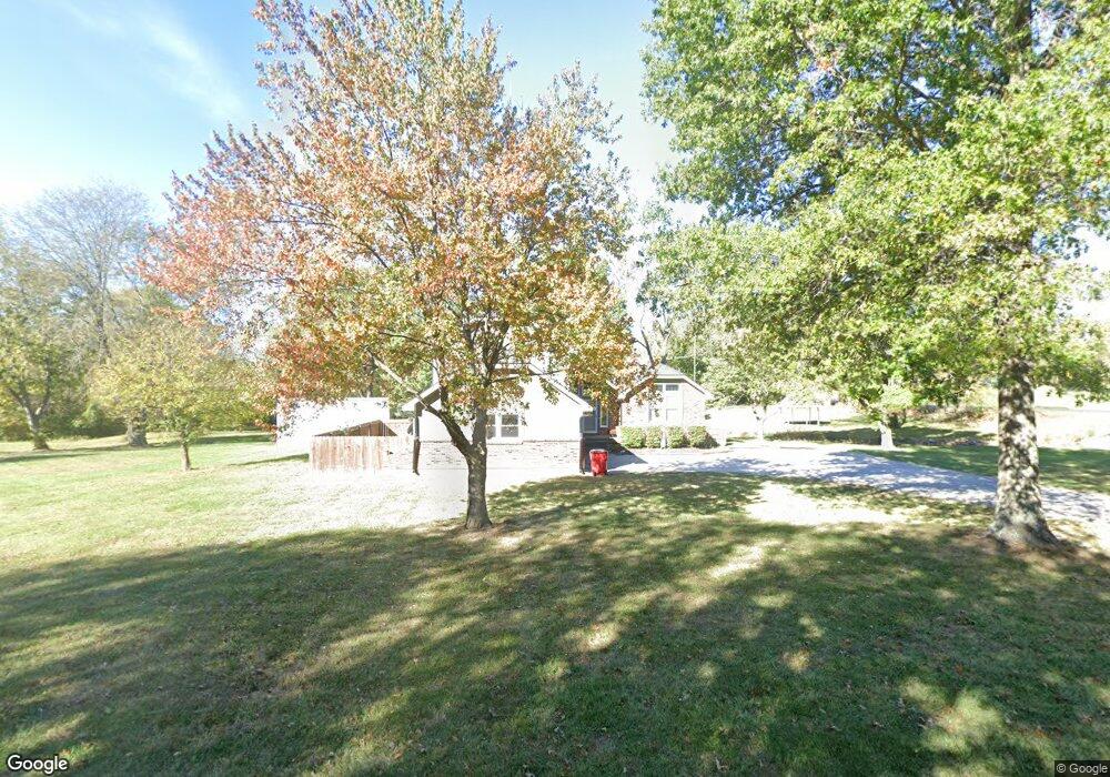
12706 E Noel Rd Lees Summit, MO 64086
Estimated Value: $409,000 - $509,125
About This Home
This home is located at 12706 E Noel Rd, Lees Summit, MO 64086 and is currently estimated at $452,031, approximately $216 per square foot. 12706 E Noel Rd is a home located in Jackson County with nearby schools including Lone Jack Elementary School, Lone Jack High School, and Summit View Adventist Elemtary School.
Ownership History
We collect this data history from publicly available records. To have your information removed, we recommend requesting removal directly through your county’s website.
Purchase Details
Home Financials for this Owner
Home Financials are based on the most recent Mortgage that was taken out on this home.Purchase Details
Purchase Details
Purchase Details
Purchase Details
Purchase Details
Home Financials for this Owner
Home Financials are based on the most recent Mortgage that was taken out on this home.Purchase Details
Purchase History
We collect this data history from publicly available records. To have your information removed, we recommend requesting removal directly through your county’s website.
| Date | Buyer | Sale Price | Title Company |
|---|---|---|---|
| -- | Alliance Title | ||
| -- | Alliance Title | ||
| -- | None Available | ||
| -- | First United Title Agency | ||
| $190,000 | First United Title Agency Ll | ||
| -- | First United Title Agency Ll | ||
| -- | Guaranty Land Title Ins Inc | ||
| -- | -- |
Mortgage History
We collect this data history from publicly available records. To have your information removed, we recommend requesting removal directly through your county’s website.
| Date | Status | Borrower | Loan Amount |
|---|---|---|---|
| Open | $191,000 | ||
| Closed | $191,000 | ||
| Previous Owner | $148,500 | ||
| Closed | $0 |
Tax History
We collect this data history from publicly available records. To have your information removed, we recommend requesting removal directly through your county’s website.
| Year | Tax Paid | Tax Assessment Tax Assessment Total Assessment is a certain percentage of the fair market value that is determined by local assessors to be the total taxable value of land and additions on the property. | Land | Improvement |
|---|---|---|---|---|
| 2025 | $4,660 | $52,767 | $17,275 | $35,492 |
| 2024 | $4,660 | $68,115 | $20,264 | $47,851 |
| 2023 | $4,550 | $68,116 | $20,264 | $47,852 |
| 2022 | $3,033 | $39,900 | $5,415 | $34,485 |
| 2021 | $2,950 | $39,900 | $5,415 | $34,485 |
| 2020 | $2,856 | $37,980 | $5,415 | $32,565 |
| 2019 | $2,844 | $37,980 | $5,415 | $32,565 |
| 2018 | $2,402 | $31,693 | $5,871 | $25,822 |
| 2017 | $2,353 | $31,693 | $5,871 | $25,822 |
| 2016 | $2,353 | $30,899 | $6,384 | $24,515 |
| 2014 | $2,386 | $30,899 | $6,384 | $24,515 |
Map
- 806 W Shawhan Pkwy
- 30703 E U S Highway 50
- 13405 Woodland Ranch Dr
- 13511 S Heritage Dr
- 13623 S Heritage Dr
- 13605 S Heritage Dr
- TBD Heritage Farms Lot 21 N A
- 13507 S Heritage Dr
- 13608 S Heritage Dr
- 13614 S Heritage Dr
- 13620 S Heritage Dr
- 32201 E Outerbelt Rd
- 13619 S Heritage Dr
- 30208 E 135 St
- 30211 E 135 St
- 30207 E 135 St
- 30704 E Outerbelt Rd
- 30304 E 138th St
- 14014 Crawford Creek Cir
- 30704 Adams Cemetery Rd
- 12706 S Noel Rd
- 12716 E Noel Rd
- 12716 S Noel Rd
- 12715 E Noel Rd
- 12801 S Noel Rd
- 32111 E Lone Jack Ls Rd
- 31906 E Lone Jack Ls Rd
- 12809 S Noel Rd
- 12623 S Buckner Tarsney Rd
- 32205 E Lone Jack Ls Rd
- 12821 S Noel Rd
- 31603 E Lone Jack Ls Rd
- 12623 Buckner Tarsney Rd
- 12609 Buckner Tarsney Rd
- 32303 E Lone Jack Ls Rd
- 12603 Buckner Tarsney Rd
- 12907 S Noel Rd
- 31511 E Lone Jack Ls Rd
- 12515 S Buckner Tarsney Rd
- 103 S Noel Rd
Ask me questions while you tour the home.