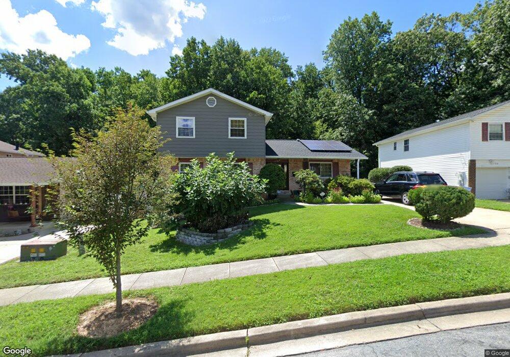
12706 N Point Ln Laurel, MD 20708
South Laurel NeighborhoodEstimated Value: $500,000 - $572,000
Studio
3
Baths
2,156
Sq Ft
$247/Sq Ft
Est. Value
About This Home
This home is located at 12706 N Point Ln, Laurel, MD 20708 and is currently estimated at $532,992, approximately $247 per square foot. 12706 N Point Ln is a home located in Prince George's County with nearby schools including Montpelier Elementary School, Dwight D. Eisenhower Middle School, and Laurel High School.
Ownership History
Date
Name
Owned For
Owner Type
Purchase Details
Closed on
Nov 19, 2002
Sold by
Silverstein Abraham
Bought by
Umoh Mfon E
Current Estimated Value
Purchase Details
Closed on
Feb 6, 1984
Sold by
Kyzar Robert J
Bought by
Silverstein Abraham and Silverstein Rita
Create a Home Valuation Report for This Property
The Home Valuation Report is an in-depth analysis detailing your home's value as well as a comparison with similar homes in the area
Home Values in the Area
Average Home Value in this Area
Purchase History
| Date | Buyer | Sale Price | Title Company |
|---|---|---|---|
| Umoh Mfon E | $236,000 | -- | |
| Silverstein Abraham | $106,500 | -- |
Source: Public Records
Tax History
| Year | Tax Paid | Tax Assessment Tax Assessment Total Assessment is a certain percentage of the fair market value that is determined by local assessors to be the total taxable value of land and additions on the property. | Land | Improvement |
|---|---|---|---|---|
| 2025 | $5,301 | $435,900 | $125,500 | $310,400 |
| 2024 | $5,301 | $418,100 | -- | -- |
| 2023 | $5,130 | $400,300 | $0 | $0 |
| 2022 | $4,911 | $382,500 | $100,500 | $282,000 |
| 2021 | $4,705 | $366,100 | $0 | $0 |
| 2020 | $4,600 | $349,700 | $0 | $0 |
| 2019 | $4,471 | $333,300 | $100,300 | $233,000 |
| 2018 | $4,304 | $313,533 | $0 | $0 |
| 2017 | $4,161 | $293,767 | $0 | $0 |
| 2016 | -- | $274,000 | $0 | $0 |
| 2015 | $3,563 | $267,933 | $0 | $0 |
| 2014 | $3,563 | $261,867 | $0 | $0 |
Source: Public Records
Map
Nearby Homes
- 8415 Snowden Oaks Place
- 8307 Snowden Oaks Place
- 8479 Imperial Dr
- 8714 Granite Ln
- 8904 Royal Ridge Ln
- 8908 Eastbourne Ln
- 12606 Ivystone Ln
- 13400 Oaklands Manor Dr
- 12600 Cedarbrook Ln
- 12927 Brickyard Blvd
- 12505 Cedarbrook Ln
- 12918 Rustic Rock Ln
- 7338 Calico Rock Lndg Rd
- 12201 Mount Pleasant Dr
- 7202 Silver Thorn Way
- 11819 Ellington Dr
- 7225 Silver Thorn Way
- 13503 Briarwood Dr
- 13120 Winding Trail Rd
- 12532 Adobe Aly
- 12708 N Point Ln
- 12704 N Point Ln
- 12702 N Point Ln
- 12707 N Point Ln
- 12705 N Point Ln
- 12700 N Point Ln
- 8343 Snowden Oaks Place
- 8345 Snowden Oaks Place
- 12701 N Point Ln
- 8347 Snowden Oaks Place
- 8341 Snowden Oaks Place
- 8349 Snowden Oaks Place
- 12612 N Point Ln
- 8337 Snowden Oaks Place
- 8409 Snowden Oaks Place
- 8335 Snowden Oaks Place
- 8407 Snowden Oaks Place
- 8411 Snowden Oaks Place
- 8405 Snowden Oaks Place
- 8402 N Point Ct
Your Personal Tour Guide
Ask me questions while you tour the home.