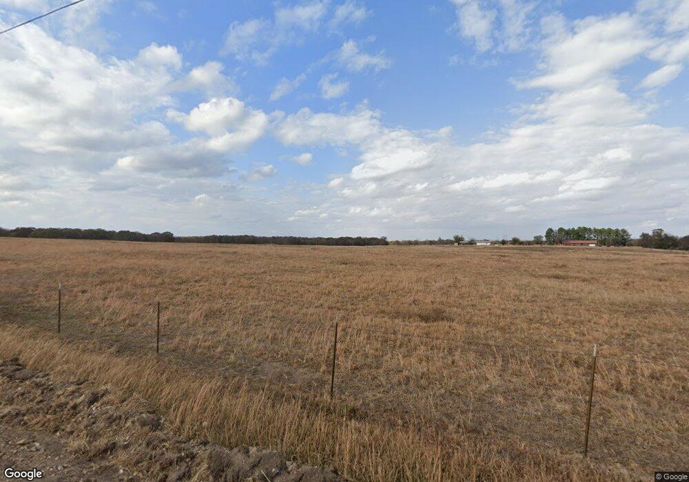
12708 Highway 82c Hulbert, OK 74441
Estimated Value: $327,000 - $614,000
3
Beds
2
Baths
1,994
Sq Ft
$249/Sq Ft
Est. Value
About This Home
This home is located at 12708 Highway 82c, Hulbert, OK 74441 and is currently estimated at $496,771, approximately $249 per square foot. 12708 Highway 82c is a home with nearby schools including Peggs Public School.
Ownership History
Date
Name
Owned For
Owner Type
Purchase Details
Closed on
Sep 18, 2023
Sold by
Loftin Family Trust
Bought by
Craig And Cayla Loftin Trust and Loftin
Current Estimated Value
Purchase Details
Closed on
Mar 21, 2023
Sold by
Loftin Bill and Loftin Joyce
Bought by
Loftin Family Trust
Purchase Details
Closed on
May 13, 2022
Sold by
Robert Bean Cullen and Nell Joyce
Bought by
Loftin Bill and Loftin Joyce
Purchase Details
Closed on
Oct 8, 2019
Sold by
Loftin Craig and Loftin Gayla
Bought by
Bean Joyce Nell and Bean Cullen Robert
Home Financials for this Owner
Home Financials are based on the most recent Mortgage that was taken out on this home.
Original Mortgage
$348,000
Interest Rate
3.5%
Mortgage Type
New Conventional
Purchase Details
Closed on
Nov 27, 2004
Sold by
Bobby and Doris Robertson
Bought by
Bobby Ii Robertson and Bobby Bobby
Purchase Details
Closed on
Mar 27, 2003
Sold by
Lc & Nellie Neel
Bought by
Bobby and Doris Robertson
Create a Home Valuation Report for This Property
The Home Valuation Report is an in-depth analysis detailing your home's value as well as a comparison with similar homes in the area
Home Values in the Area
Average Home Value in this Area
Purchase History
| Date | Buyer | Sale Price | Title Company |
|---|---|---|---|
| Craig And Cayla Loftin Trust | -- | None Listed On Document | |
| Loftin Family Trust | -- | -- | |
| Loftin Bill | -- | New Title Company Name | |
| Bean Joyce Nell | $435,000 | Fidelity National Ttl Ins Co | |
| Bobby Ii Robertson | $150,000 | -- | |
| Bobby | $550,000 | -- |
Source: Public Records
Mortgage History
| Date | Status | Borrower | Loan Amount |
|---|---|---|---|
| Previous Owner | Bean Joyce Nell | $348,000 |
Source: Public Records
Tax History Compared to Growth
Tax History
| Year | Tax Paid | Tax Assessment Tax Assessment Total Assessment is a certain percentage of the fair market value that is determined by local assessors to be the total taxable value of land and additions on the property. | Land | Improvement |
|---|---|---|---|---|
| 2025 | $3,917 | $55,010 | $14,466 | $40,544 |
| 2024 | $3,917 | $54,881 | $14,466 | $40,415 |
| 2023 | $3,917 | $53,075 | $6,600 | $46,475 |
| 2022 | $3,416 | $47,850 | $5,919 | $41,931 |
| 2021 | $3,416 | $47,850 | $5,919 | $41,931 |
| 2020 | $3,416 | $47,851 | $5,919 | $41,932 |
| 2019 | $1,942 | $27,200 | $476 | $26,724 |
| 2018 | $2,058 | $28,828 | $2,918 | $25,910 |
| 2017 | $1,998 | $27,989 | $2,779 | $25,210 |
| 2016 | $1,830 | $25,633 | $2,579 | $23,054 |
| 2015 | $1,730 | $24,886 | $2,579 | $22,307 |
| 2014 | $1,730 | $24,886 | $2,579 | $22,307 |
Source: Public Records
Map
Nearby Homes
- 17099 E Clover Cir
- 15318 W Jones Rd
- 0 W Jones Rd
- 11388 Hwy 82
- 11077 N Elm Grove Rd
- 17564 W Grandview Dr
- 13552 State Highway 82
- 17540 W Tray
- 212 W Calista Dr
- 17844 E 688 Rd
- 11457 N 510 Rd
- 0 N Hwy 82 Hwy Unit 2518924
- 0 W Burchett Rd Unit 2518831
- 16759 W Burchett Rd
- 18079 E 680 Rd
- 12990 W Killabrew Rd
- 12562 N Webster Rd
- 17022 W Grandview Rd
- 149 W Oak Hill Cir
- 20819 E Steely Hollow Rd
- 12078 Hwy 82
- 12592 Highway 82
- 12708 Highway 82
- 12711 Highway 82
- 12603 Highway 82
- 12459 Highway 82
- 16018 W 710 Rd
- 13006 Highway 82
- 16027 W 710 Rd
- 16197 W 710 Rd
- 12626 N 485 Rd
- 12946 N 485 Rd
- 12788 N 485 Rd
- 12541 N 485 Rd
- 16135 E Red Fuller Rd
- 12791 N 485 Rd
- 13101 N 492 Rd
- 12923 N 485 Rd
- 12761 N 485 Rd
- 12817 N 485 Rd
