12709 Green Rd West Fork, AR 72774
Estimated Value: $413,000 - $811,000
3
Beds
2
Baths
2,330
Sq Ft
$233/Sq Ft
Est. Value
About This Home
This home is located at 12709 Green Rd, West Fork, AR 72774 and is currently estimated at $542,755, approximately $232 per square foot. 12709 Green Rd is a home located in Washington County with nearby schools including Greenland Middle School, Greenland Elementary School, and Greenland High School.
Ownership History
Date
Name
Owned For
Owner Type
Purchase Details
Closed on
Jul 8, 2011
Sold by
Mcaninch Paul E and Mcaninch Judith
Bought by
Messenger Mervyn G and Messenger Sharon L
Current Estimated Value
Purchase Details
Closed on
Oct 30, 1996
Bought by
Bronson Kenneth Lee and Bronson Cartha C
Purchase Details
Closed on
Oct 3, 1985
Bought by
Walters Jeffery and Walters Terry L
Purchase Details
Closed on
Jan 1, 1985
Bought by
Burkart Walter B and Burkart Norma R
Create a Home Valuation Report for This Property
The Home Valuation Report is an in-depth analysis detailing your home's value as well as a comparison with similar homes in the area
Home Values in the Area
Average Home Value in this Area
Purchase History
| Date | Buyer | Sale Price | Title Company |
|---|---|---|---|
| Messenger Mervyn G | $255,000 | Lenders Title Company | |
| Bronson Kenneth Lee | $46,700 | -- | |
| Walters Jeffery | -- | -- | |
| Burkart Walter B | -- | -- |
Source: Public Records
Tax History Compared to Growth
Tax History
| Year | Tax Paid | Tax Assessment Tax Assessment Total Assessment is a certain percentage of the fair market value that is determined by local assessors to be the total taxable value of land and additions on the property. | Land | Improvement |
|---|---|---|---|---|
| 2025 | $1,134 | $50,310 | $7,470 | $42,840 |
| 2024 | $1,163 | $50,310 | $7,470 | $42,840 |
| 2023 | $1,189 | $50,310 | $7,470 | $42,840 |
| 2022 | $1,139 | $37,760 | $5,860 | $31,900 |
| 2021 | $1,077 | $37,760 | $5,860 | $31,900 |
| 2020 | $1,015 | $37,760 | $5,860 | $31,900 |
| 2019 | $955 | $27,760 | $3,670 | $24,090 |
| 2018 | $968 | $27,760 | $3,670 | $24,090 |
| 2017 | $851 | $27,760 | $3,670 | $24,090 |
| 2016 | $853 | $27,760 | $3,670 | $24,090 |
| 2015 | $752 | $27,760 | $3,670 | $24,090 |
| 2014 | $703 | $23,080 | $2,310 | $20,770 |
Source: Public Records
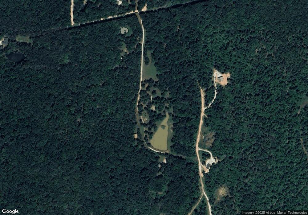
Map
Nearby Homes
- 345 McGee Rd
- 253 Mckean Ave
- 11 N Sycamore Ave
- 212 Redbud Trail
- 12730 & 12932 Mineral Springs Wc 30
- 14163 Low Gap Rd
- 14159 Low Gap Wc 100 Rd
- 12284 Flowers Rd
- 13608 Sugar Mountain Rd
- 121 & 129 Main St
- 185 Wheeler St
- 0000 Highway 170
- 696 E Thornstone Ave
- 106 Pleasant St
- 222 Rivendale Dr
- 13590 Sugar Mountain Rd
- 27 Northwood St
- 302 Mcknight Ave
- 260 Culp Trail
- 50 Northwood St
- 12737 Green Rd
- 12644 Green Rd
- 12794 Green Rd
- 0 Mc Gee Unit 1247345
- 0 Mc Gee Unit 23016624
- 0 Mc Gee Unit 1172507
- 12598 Green Rd
- 12993 Green Rd
- 12931 Green Rd
- 12590 Green Rd
- 12992 Green Rd
- 12605 Green Rd
- 0 Green Plastic Tract 2 Rd Unit 423201
- 0 Green Plastic Tract 3 Rd Unit 423202
- 0 Green Plastic Tract 4 Rd Unit 423203
- 0 Green Plastic Tract 1 Rd Unit 624661
- 0 Green Plastic Tract 1 Rd Unit 691343
- 0 Green Plastic Tract 2 Rd Unit 722575
- 0 Green Plastic Tract 3 Rd Unit 722576
- 0 Green Plastic Tract 4 Rd Unit 722577