1271 Baker Rd Shiloh, GA 31826
Estimated Value: $430,000 - $601,000
4
Beds
4
Baths
2,336
Sq Ft
$216/Sq Ft
Est. Value
About This Home
This home is located at 1271 Baker Rd, Shiloh, GA 31826 and is currently estimated at $505,612, approximately $216 per square foot. 1271 Baker Rd is a home located in Harris County with nearby schools including Park Elementary School, Harris County Carver Middle School, and Creekside School.
Ownership History
Date
Name
Owned For
Owner Type
Purchase Details
Closed on
Apr 30, 2021
Sold by
Charter Charles G
Bought by
Hadaway Joel A and Hadaway Brandian Bentley
Current Estimated Value
Home Financials for this Owner
Home Financials are based on the most recent Mortgage that was taken out on this home.
Original Mortgage
$332,500
Outstanding Balance
$299,399
Interest Rate
3.1%
Mortgage Type
New Conventional
Estimated Equity
$206,213
Purchase Details
Closed on
Aug 8, 2003
Sold by
Neal Joseph and Neal Vanessa R Mile
Bought by
Charter Charles G & Angie E
Purchase Details
Closed on
Sep 16, 1996
Bought by
Neal Joseph and Neal Vanessa R Miles
Create a Home Valuation Report for This Property
The Home Valuation Report is an in-depth analysis detailing your home's value as well as a comparison with similar homes in the area
Purchase History
| Date | Buyer | Sale Price | Title Company |
|---|---|---|---|
| Hadaway Joel A | $350,000 | -- | |
| Charter Charles G & Angie E | $242,500 | -- | |
| Neal Joseph | $210,000 | -- |
Source: Public Records
Mortgage History
| Date | Status | Borrower | Loan Amount |
|---|---|---|---|
| Open | Hadaway Joel A | $332,500 |
Source: Public Records
Tax History
| Year | Tax Paid | Tax Assessment Tax Assessment Total Assessment is a certain percentage of the fair market value that is determined by local assessors to be the total taxable value of land and additions on the property. | Land | Improvement |
|---|---|---|---|---|
| 2025 | $3,845 | $177,731 | $57,899 | $119,832 |
| 2024 | $3,178 | $138,499 | $31,329 | $107,170 |
| 2023 | $3,170 | $138,309 | $31,329 | $106,980 |
| 2022 | $3,168 | $138,309 | $31,329 | $106,980 |
| 2021 | $2,367 | $109,116 | $31,329 | $77,787 |
| 2020 | $2,365 | $109,116 | $31,329 | $77,787 |
| 2019 | $2,279 | $109,116 | $31,329 | $77,787 |
| 2018 | $2,323 | $109,116 | $31,329 | $77,787 |
| 2017 | $2,316 | $111,345 | $33,558 | $77,787 |
| 2016 | $2,096 | $110,662 | $33,558 | $77,105 |
| 2015 | $2,096 | $110,662 | $33,558 | $77,105 |
| 2014 | $2,097 | $110,662 | $33,558 | $77,105 |
| 2013 | -- | $110,662 | $33,557 | $77,104 |
Source: Public Records
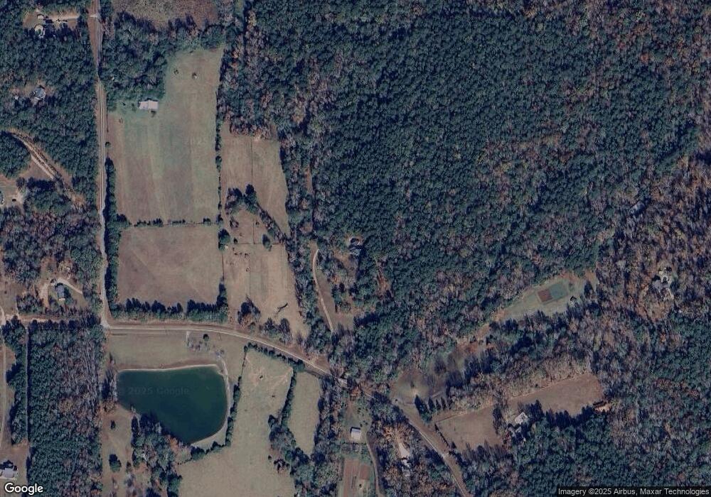
Map
Nearby Homes
- 19110 Ga Highway 116
- 1251 S L St
- 21401 Ga Highway 116
- 2.83 ACRES Williams Rd
- 0 Brown Creek Rd Unit 10702900
- 0 Brown Creek Rd Unit 10671738
- 723 Brown Creek Rd
- 299 S L St
- 2.03 Acres Johnson Mill Rd
- 180.14 Ac Johnson Mill Rd
- 216 Oak Dr
- 2.03 AC Johnson Mill Rd
- 180.14 Johnson Mill Rd
- 180.14 AC Johnson Mill Rd
- 244 Lake Dr
- 000 Brown Creek Rd
- 185 Royal Lodge Dr
- 207 Westgate Cir
- LOT 1 & LOT 15 Mountain Ridge Dr
- LOT 19 Mountain Ridge Dr
- 1345 Baker Rd
- 642 Jc Reynolds Rd
- 634 Jc Reynolds Rd
- 710 Jc Reynolds Rd
- 512 Jc Reynolds Rd
- 1356 Baker Rd
- 466 Jc Reynolds Rd
- 341 Jc Reynolds Rd
- 1413 Baker Rd
- 710 Baker Rd
- 985 Baker Rd
- J Jc Reynolds Rd
- 1160 Baker Rd
- 986 Baker Rd
- 638 Reynolds Rd W
- 1508 Baker Rd
- 1610 Baker Rd
- 190 Jc Reynolds Rd
- 1591 Baker Rd
- 1605 Baker Rd
Your Personal Tour Guide
Ask me questions while you tour the home.